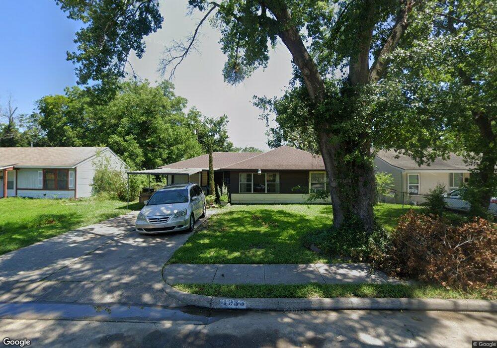
4935 Enyart St Houston, TX 77021
OST-South Union NeighborhoodEstimated Value: $127,482 - $187,000
3
Beds
1
Bath
1,141
Sq Ft
$132/Sq Ft
Est. Value
About This Home
This home is located at 4935 Enyart St, Houston, TX 77021 and is currently estimated at $150,371, approximately $131 per square foot. 4935 Enyart St is a home located in Harris County with nearby schools including Hartsfield Elementary Animal and Environmental Sciences Magnet, Cullen Middle School, and Yates High School.
Ownership History
Date
Name
Owned For
Owner Type
Purchase Details
Closed on
Oct 13, 2025
Sold by
Hot Rod Homes Llc
Bought by
Acosta Cesar
Current Estimated Value
Purchase Details
Closed on
Sep 19, 2025
Sold by
Carper Gwendolyn
Bought by
Hot Rod Homes Llc
Purchase Details
Closed on
Mar 17, 2017
Sold by
Carper Tommy G
Bought by
Carper Gwendolyn
Create a Home Valuation Report for This Property
The Home Valuation Report is an in-depth analysis detailing your home's value as well as a comparison with similar homes in the area
Home Values in the Area
Average Home Value in this Area
Purchase History
| Date | Buyer | Sale Price | Title Company |
|---|---|---|---|
| Acosta Cesar | -- | None Listed On Document | |
| Hot Rod Homes Llc | -- | None Listed On Document | |
| Carper Gwendolyn | -- | None Available |
Source: Public Records
Tax History Compared to Growth
Tax History
| Year | Tax Paid | Tax Assessment Tax Assessment Total Assessment is a certain percentage of the fair market value that is determined by local assessors to be the total taxable value of land and additions on the property. | Land | Improvement |
|---|---|---|---|---|
| 2025 | $2,249 | $115,525 | $80,113 | $35,412 |
| 2024 | $2,249 | $107,474 | $80,113 | $27,361 |
| 2023 | $2,165 | $107,474 | $80,113 | $27,361 |
| 2022 | $2,366 | $107,474 | $80,113 | $27,361 |
| 2021 | $2,043 | $87,652 | $49,300 | $38,352 |
| 2020 | $2,070 | $85,462 | $41,597 | $43,865 |
| 2019 | $1,678 | $66,325 | $32,353 | $33,972 |
| 2018 | $1,376 | $54,396 | $24,650 | $29,746 |
| 2017 | $1,056 | $41,765 | $18,488 | $23,277 |
| 2016 | $951 | $37,596 | $18,488 | $19,108 |
| 2015 | $857 | $35,701 | $18,488 | $17,213 |
| 2014 | $857 | $33,341 | $15,406 | $17,935 |
Source: Public Records
Map
Nearby Homes
- 5023 Cosby St
- 5022 Balkin St
- 4927 Kelso St
- 5111 Cosby St
- 6417 Madrid St
- 6419 Madrid St
- 6421 Madrid St
- 6518 Weston St Unit 10
- 0 Perry St
- 4611 Dewberry St
- 6109 Grace Ln
- 5107 Gren St
- 4930 Gren St
- 4613 Dewberry St
- 6911 Madrid St
- 5103 Yellowstone Blvd
- 4624 Kingsbury St
- 6309 Calhoun Rd
- 6014 Grace Ln Unit A/B
- 5014 Yellowstone Blvd