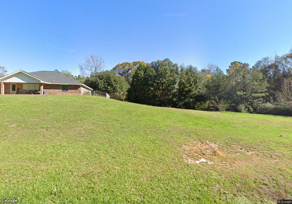
4936 Port Arthur Ave Anacoco, LA 71403
Estimated Value: $275,000 - $295,000
5
Beds
3
Baths
3,738
Sq Ft
$77/Sq Ft
Est. Value
About This Home
This home is located at 4936 Port Arthur Ave, Anacoco, LA 71403 and is currently estimated at $287,080, approximately $76 per square foot. 4936 Port Arthur Ave is a home located in Vernon Parish.
Ownership History
Date
Name
Owned For
Owner Type
Purchase Details
Closed on
Apr 27, 2020
Sold by
Durant and Nims Alpha
Bought by
Laughlin Jonathan E and Laughlin Felicia A
Current Estimated Value
Home Financials for this Owner
Home Financials are based on the most recent Mortgage that was taken out on this home.
Original Mortgage
$222,222
Outstanding Balance
$196,920
Interest Rate
3.3%
Mortgage Type
New Conventional
Estimated Equity
$90,160
Purchase Details
Closed on
Feb 26, 2010
Sold by
Ayers Edward Charles and Ayers Ann Lee
Bought by
Nims Alpha D and Nims Anne R
Home Financials for this Owner
Home Financials are based on the most recent Mortgage that was taken out on this home.
Original Mortgage
$198,852
Interest Rate
4.97%
Mortgage Type
Purchase Money Mortgage
Create a Home Valuation Report for This Property
The Home Valuation Report is an in-depth analysis detailing your home's value as well as a comparison with similar homes in the area
Home Values in the Area
Average Home Value in this Area
Purchase History
| Date | Buyer | Sale Price | Title Company |
|---|---|---|---|
| Laughlin Jonathan E | $220,000 | None Available | |
| Nims Alpha D | $192,500 | -- |
Source: Public Records
Mortgage History
| Date | Status | Borrower | Loan Amount |
|---|---|---|---|
| Open | Laughlin Jonathan E | $222,222 | |
| Previous Owner | Nims Alpha D | $198,852 |
Source: Public Records
Tax History Compared to Growth
Tax History
| Year | Tax Paid | Tax Assessment Tax Assessment Total Assessment is a certain percentage of the fair market value that is determined by local assessors to be the total taxable value of land and additions on the property. | Land | Improvement |
|---|---|---|---|---|
| 2024 | $2,443 | $21,910 | $550 | $21,360 |
| 2023 | $2,563 | $21,910 | $500 | $21,410 |
| 2022 | $2,697 | $21,910 | $500 | $21,410 |
| 2021 | $2,852 | $21,910 | $500 | $21,410 |
| 2020 | $2,781 | $21,910 | $500 | $21,410 |
| 2019 | $2,260 | $17,500 | $500 | $17,000 |
| 2018 | $2,295 | $17,500 | $500 | $17,000 |
| 2017 | $2,273 | $17,500 | $500 | $17,000 |
| 2015 | $2,371 | $17,540 | $540 | $17,000 |
| 2014 | $2,460 | $17,540 | $540 | $17,000 |
| 2013 | $2,418 | $17,540 | $540 | $17,000 |
Source: Public Records
Map
Nearby Homes
- 4549 Main St
- 147 Sandy Dr
- 281 Ball Park Rd
- 0 Main St
- 152 Liles Rd
- 295 Ross Rd
- 325 Loop Rd
- 3906 Main St
- 881 Greenhead Rd
- 136 Holton Harris Rd
- 341 Cold Springs Loop
- 505 Holly Grove Rd
- 137 Fairlane Rd
- 227 Thaxton Landing Rd
- 121 Calvin St
- 0 Tbd Land T3nr10w- Sec 10 Swnw Unit 20-450
- 437 Holton Harris Rd
- 105 Gazebo Ln
- 180 Dogwood Dr
- 0 3432 Oraleens Ln Unit 62-189
- 4940 Port Arthur Ave
- 5088 Port Arthur Ave
- 139 Memory Ln
- 1572 Front St
- 128 Trigger Trapp Rd
- 5092 Port Arthur Ave
- 1592 Front St
- 0 Louisiana 111
- 173 Trigger Trapp Rd
- 5099 Port Arthur Ave
- 172 Huey Bean Rd
- 0 Hwy 171
- 190 Huey Bean Rd
- 5144 Port Arthur Ave
- 4799 Main St
- 4693 Main St
- 4544 Main St
- 4671 Main St
- 4484 Main St
- 4617 Main St