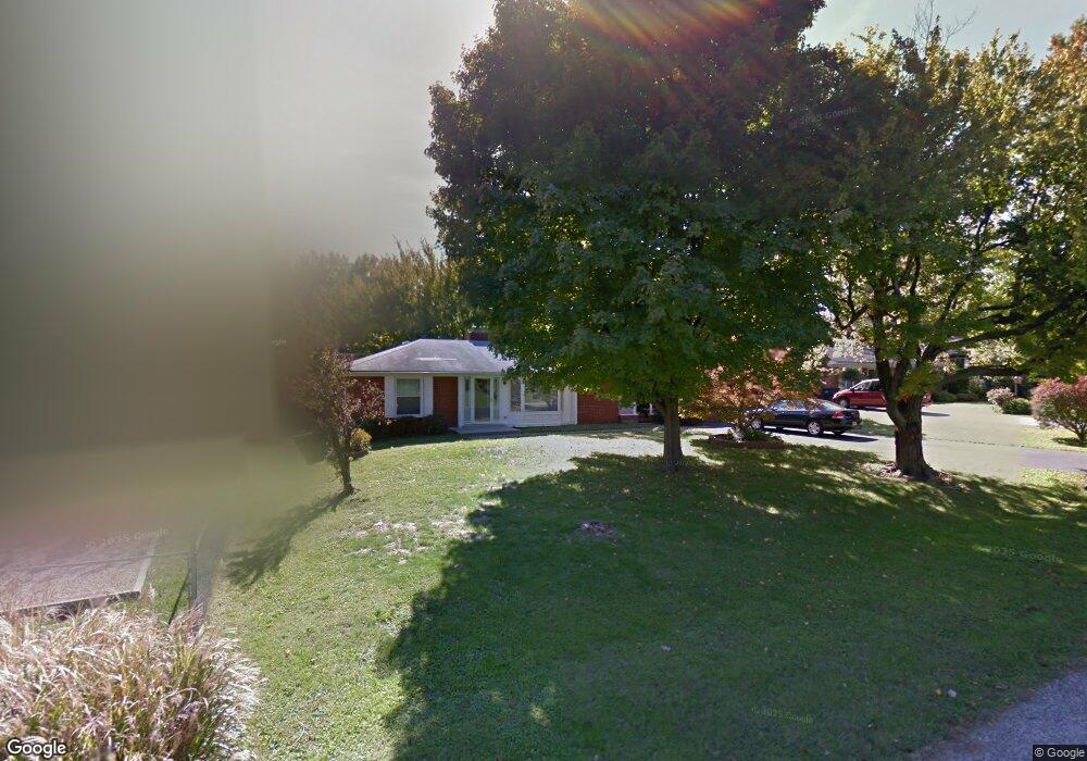
494 Alan Dr New Albany, IN 47150
Estimated Value: $246,000 - $301,000
2
Beds
2
Baths
1,921
Sq Ft
$139/Sq Ft
Est. Value
About This Home
This home is located at 494 Alan Dr, New Albany, IN 47150 and is currently estimated at $266,626, approximately $138 per square foot. 494 Alan Dr is a home located in Floyd County with nearby schools including Hazelwood Middle School, New Albany Senior High School, and Holy Family School.
Ownership History
Date
Name
Owned For
Owner Type
Purchase Details
Closed on
Apr 13, 2006
Sold by
The Hiram E Wallace Irrevocable Trust
Bought by
Riggs Kevin B
Current Estimated Value
Home Financials for this Owner
Home Financials are based on the most recent Mortgage that was taken out on this home.
Original Mortgage
$19,700
Outstanding Balance
$11,360
Interest Rate
6.42%
Mortgage Type
Credit Line Revolving
Estimated Equity
$255,266
Create a Home Valuation Report for This Property
The Home Valuation Report is an in-depth analysis detailing your home's value as well as a comparison with similar homes in the area
Home Values in the Area
Average Home Value in this Area
Purchase History
| Date | Buyer | Sale Price | Title Company |
|---|---|---|---|
| Riggs Kevin B | -- | Agency Title |
Source: Public Records
Mortgage History
| Date | Status | Borrower | Loan Amount |
|---|---|---|---|
| Open | Riggs Kevin B | $19,700 | |
| Open | Riggs Kevin B | $81,000 |
Source: Public Records
Tax History Compared to Growth
Tax History
| Year | Tax Paid | Tax Assessment Tax Assessment Total Assessment is a certain percentage of the fair market value that is determined by local assessors to be the total taxable value of land and additions on the property. | Land | Improvement |
|---|---|---|---|---|
| 2024 | $1,956 | $185,000 | $23,900 | $161,100 |
| 2023 | $2,077 | $194,300 | $23,900 | $170,400 |
| 2022 | $2,058 | $191,300 | $23,900 | $167,400 |
| 2021 | $1,975 | $182,500 | $23,900 | $158,600 |
| 2020 | $1,978 | $182,500 | $23,900 | $158,600 |
| 2019 | $1,830 | $169,000 | $23,900 | $145,100 |
| 2018 | $1,471 | $136,000 | $23,900 | $112,100 |
| 2017 | $1,522 | $138,500 | $23,900 | $114,600 |
| 2016 | $1,382 | $137,200 | $23,900 | $113,300 |
| 2014 | $1,402 | $138,900 | $23,900 | $115,000 |
| 2013 | -- | $144,300 | $23,900 | $120,400 |
Source: Public Records
Map
Nearby Homes
- 2424 Stover Dr
- 528 Drawbrook Cir
- 511 E Daisy Ln
- 205 Robin Lynne Dr
- 6369 Indiana 111
- 805 Elmwood Ave
- 627 Roseview Terrace
- 823 Elmwood Ave
- 61 Wolfe Trace Ct
- 2928 Green Valley Rd
- 102 Crown Ct
- 301 Country Club Dr
- 2318 Coyle Dr
- 8 Robin Ct
- 1464 South St
- 2548 Broadway St
- 2550 Broadway St
- 1455 South St
- 1418 Vance Ave
- 2115 Loop Island Way