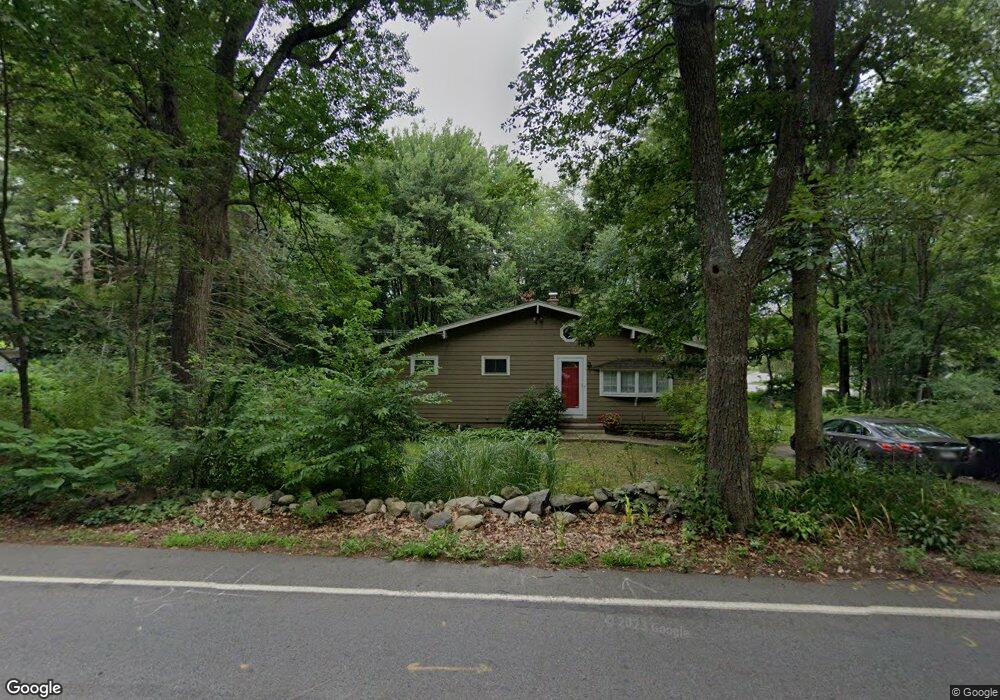
494 Concord Rd Marlborough, MA 01752
Estimated Value: $511,871 - $834,000
3
Beds
1
Bath
960
Sq Ft
$648/Sq Ft
Est. Value
About This Home
This home is located at 494 Concord Rd, Marlborough, MA 01752 and is currently estimated at $621,718, approximately $647 per square foot. 494 Concord Rd is a home located in Middlesex County with nearby schools including Marlborough High School, New Covenant Christian School, and Glenhaven Academy - JRI School.
Ownership History
Date
Name
Owned For
Owner Type
Purchase Details
Closed on
Sep 27, 1995
Sold by
Murphy Christine H
Bought by
Pawlik Irena M
Current Estimated Value
Home Financials for this Owner
Home Financials are based on the most recent Mortgage that was taken out on this home.
Original Mortgage
$116,000
Outstanding Balance
$837
Interest Rate
7.89%
Mortgage Type
Purchase Money Mortgage
Estimated Equity
$620,881
Purchase Details
Closed on
Apr 1, 1991
Sold by
Sweet James E and Sweet Patricia D
Bought by
Getchell Christine H
Home Financials for this Owner
Home Financials are based on the most recent Mortgage that was taken out on this home.
Original Mortgage
$122,691
Interest Rate
9.17%
Mortgage Type
Purchase Money Mortgage
Create a Home Valuation Report for This Property
The Home Valuation Report is an in-depth analysis detailing your home's value as well as a comparison with similar homes in the area
Home Values in the Area
Average Home Value in this Area
Purchase History
| Date | Buyer | Sale Price | Title Company |
|---|---|---|---|
| Pawlik Irena M | $145,000 | -- | |
| Getchell Christine H | $124,500 | -- |
Source: Public Records
Mortgage History
| Date | Status | Borrower | Loan Amount |
|---|---|---|---|
| Open | Getchell Christine H | $116,000 | |
| Previous Owner | Getchell Christine H | $122,006 | |
| Previous Owner | Getchell Christine H | $122,691 |
Source: Public Records
Tax History Compared to Growth
Tax History
| Year | Tax Paid | Tax Assessment Tax Assessment Total Assessment is a certain percentage of the fair market value that is determined by local assessors to be the total taxable value of land and additions on the property. | Land | Improvement |
|---|---|---|---|---|
| 2025 | $4,343 | $440,500 | $228,000 | $212,500 |
| 2024 | $4,190 | $409,200 | $207,300 | $201,900 |
| 2023 | $4,716 | $408,700 | $177,800 | $230,900 |
| 2022 | $4,696 | $357,900 | $169,300 | $188,600 |
| 2021 | $4,577 | $331,700 | $141,200 | $190,500 |
| 2020 | $4,488 | $316,500 | $134,500 | $182,000 |
| 2019 | $4,376 | $311,000 | $131,800 | $179,200 |
| 2018 | $5,460 | $274,800 | $113,100 | $161,700 |
| 2017 | $3,655 | $238,600 | $110,600 | $128,000 |
| 2016 | $3,522 | $229,600 | $110,600 | $119,000 |
| 2015 | $3,483 | $221,000 | $112,900 | $108,100 |
Source: Public Records
Map
Nearby Homes
- 38 Collins Dr
- 256 Robert Rd
- 274 Naugler Ave
- 17 Mcneil Cir
- 492 Stow Rd
- 323 Robert Rd
- 114 Linda Cir
- 137 Naugler Ave
- 38 Airport Blvd
- 75 Kings View Rd
- 109 Westminster Dr Unit 109
- 45 Raffaele Rd
- 33A Russo Dr
- 271 Boston Post Rd E Unit 4
- 23 Victoria Ln
- 624 Boston Post Rd E Unit 7
- 608 Boston Post Rd E Unit 11
- 596 Boston Post Rd E
- 596 Boston Post Rd E Unit 13
- 168 Blanchette Dr