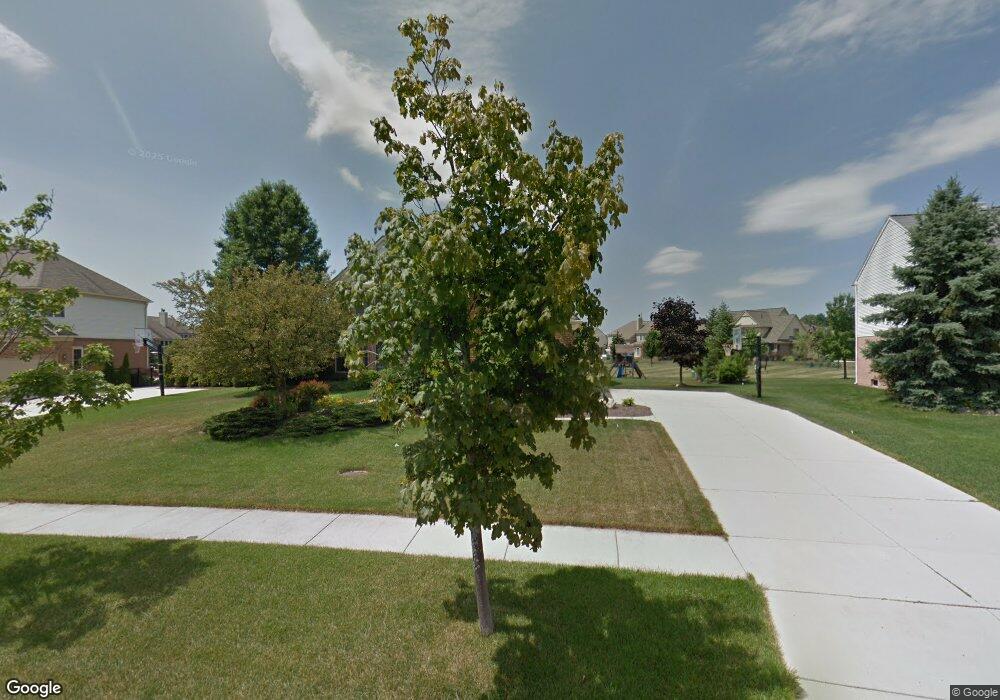
494 Delaford Ct Canton, MI 48188
Estimated Value: $617,100 - $745,000
4
Beds
4
Baths
2,814
Sq Ft
$245/Sq Ft
Est. Value
About This Home
This home is located at 494 Delaford Ct, Canton, MI 48188 and is currently estimated at $690,025, approximately $245 per square foot. 494 Delaford Ct is a home located in Wayne County with nearby schools including Canton High School, Plymouth High School, and Salem High School.
Ownership History
Date
Name
Owned For
Owner Type
Purchase Details
Closed on
Jun 16, 2009
Sold by
Stewart John G and King Kristan C
Bought by
Dodge N P and National Equity Inc
Current Estimated Value
Purchase Details
Closed on
Apr 18, 2007
Sold by
Melaleuca Inc
Bought by
Stewart John G
Purchase Details
Closed on
Mar 20, 2007
Sold by
Okeson Kent J and Okeson Heather
Bought by
Melaleuca Inc
Purchase Details
Closed on
Sep 26, 2005
Sold by
Kansier Denis A and Kansier Debra L
Bought by
Okeson Kent J
Create a Home Valuation Report for This Property
The Home Valuation Report is an in-depth analysis detailing your home's value as well as a comparison with similar homes in the area
Home Values in the Area
Average Home Value in this Area
Purchase History
| Date | Buyer | Sale Price | Title Company |
|---|---|---|---|
| Dodge N P | $300,000 | Stewart Title | |
| Stewart John G | $340,000 | Metropolitan Title Company | |
| Melaleuca Inc | $386,000 | Metropolitan Title Company | |
| Okeson Kent J | $392,000 | Fidelity National Title |
Source: Public Records
Tax History Compared to Growth
Tax History
| Year | Tax Paid | Tax Assessment Tax Assessment Total Assessment is a certain percentage of the fair market value that is determined by local assessors to be the total taxable value of land and additions on the property. | Land | Improvement |
|---|---|---|---|---|
| 2025 | $3,468 | $283,800 | $0 | $0 |
| 2024 | $3,468 | $257,200 | $0 | $0 |
| 2023 | $3,306 | $229,600 | $0 | $0 |
| 2022 | $7,149 | $208,900 | $0 | $0 |
| 2021 | $6,934 | $202,000 | $0 | $0 |
| 2020 | $6,849 | $198,100 | $0 | $0 |
| 2019 | $6,722 | $191,250 | $0 | $0 |
| 2018 | $2,810 | $188,750 | $0 | $0 |
| 2017 | $6,769 | $175,500 | $0 | $0 |
| 2016 | $6,105 | $180,900 | $0 | $0 |
| 2015 | $15,439 | $172,370 | $0 | $0 |
| 2013 | $14,957 | $161,710 | $0 | $0 |
| 2010 | -- | $142,230 | $72,642 | $69,588 |
Source: Public Records
Map
Nearby Homes
- 500 Belvedere Ct N
- 51026 Meadowlands
- 47671 Vistas Circle Dr N
- 48416 Manhattan Cir
- 47815 Vistas Circle Dr S
- 47631 Scenic Circle Dr N
- 1564 Crowndale Ln
- 1938 Scenic Dr
- 48030 Cherry Hill Rd
- 48859 Garden Ln
- 48581 Greenwich Cir
- 1861 Stonebridge Way
- 49276 Garden Ln
- 2381 Lexington Cir S
- 300 E Canford Park Unit 30
- 47078 Bing Dr
- 241 Country Club Ln
- 316 Queen Anne Dr
- 49592 Garfield Ln Unit 178
- 0000 Denton Rd
- 478 Delaford Ct
- 508 Delaford Ct
- 501 Delaford Ct
- 462 Delaford Ct
- 477 Delaford Ct
- 526 Delaford Ct
- 525 Delaford Ct
- 463 Waterview Ct
- 47528 Glengarry Blvd
- 461 Delaford Ct
- 47592 Glengarry Blvd
- 447 Waterview Ct
- 446 Delaford Ct
- 479 Waterview Ct
- 47608 Glengarry Blvd
- 445 Delaford Ct
- 540 Delaford Dr
- 495 Waterview Ct
- 47497 Glengarry Blvd
- 47624 Glengarry Blvd