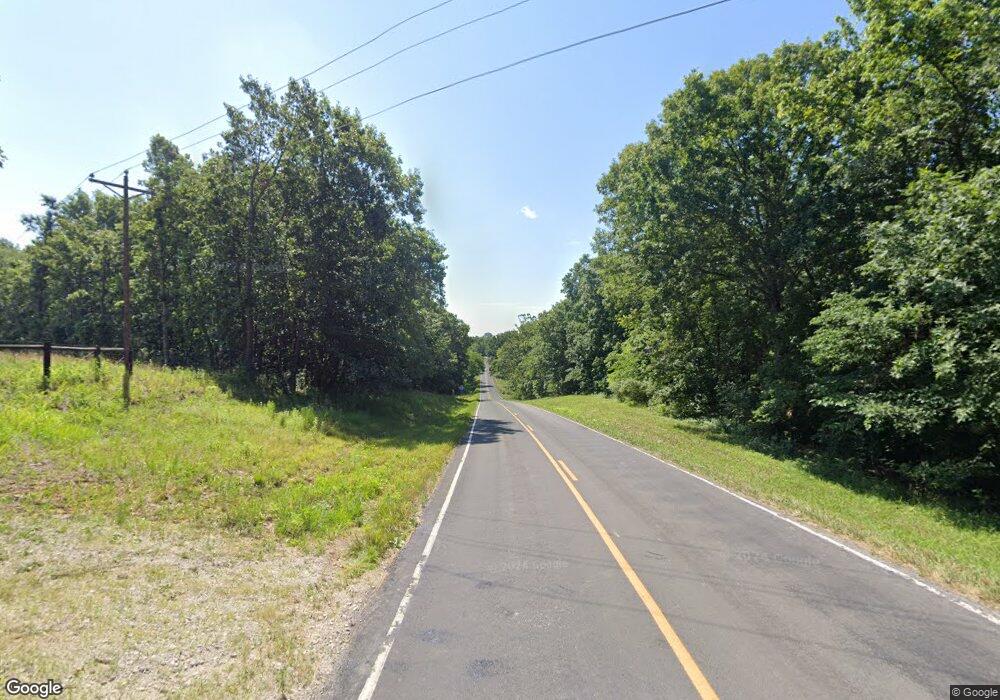
494 S Highway W Elsberry, MO 63343
Estimated Value: $385,570 - $424,000
3
Beds
2
Baths
1,700
Sq Ft
$241/Sq Ft
Est. Value
About This Home
This home is located at 494 S Highway W, Elsberry, MO 63343 and is currently estimated at $409,523, approximately $240 per square foot. 494 S Highway W is a home located in Lincoln County with nearby schools including Clarence Cannon Elementary School, Ida Cannon Middle School, and Elsberry High School.
Ownership History
Date
Name
Owned For
Owner Type
Purchase Details
Closed on
May 12, 2021
Sold by
Obrien Brendan and Obrien Donna M
Bought by
Obrien Sean M and Obrien Sean
Current Estimated Value
Purchase Details
Closed on
Jun 30, 2016
Sold by
Serles Harriet J and Serles James B
Bought by
Brien Sean M O
Home Financials for this Owner
Home Financials are based on the most recent Mortgage that was taken out on this home.
Original Mortgage
$121,754
Outstanding Balance
$97,259
Interest Rate
3.6%
Mortgage Type
FHA
Estimated Equity
$312,264
Create a Home Valuation Report for This Property
The Home Valuation Report is an in-depth analysis detailing your home's value as well as a comparison with similar homes in the area
Purchase History
| Date | Buyer | Sale Price | Title Company |
|---|---|---|---|
| Obrien Sean M | -- | Meyer Title Co | |
| Brien Sean M O | -- | Lincoln County Title |
Source: Public Records
Mortgage History
| Date | Status | Borrower | Loan Amount |
|---|---|---|---|
| Open | Brien Sean M O | $121,754 |
Source: Public Records
Tax History Compared to Growth
Tax History
| Year | Tax Paid | Tax Assessment Tax Assessment Total Assessment is a certain percentage of the fair market value that is determined by local assessors to be the total taxable value of land and additions on the property. | Land | Improvement |
|---|---|---|---|---|
| 2025 | $1,697 | $31,140 | $3,240 | $27,900 |
| 2024 | $1,610 | $28,922 | $2,930 | $25,992 |
| 2023 | $1,605 | $29,216 | $3,088 | $26,129 |
| 2022 | $1,523 | $27,627 | $2,930 | $24,697 |
| 2021 | $1,532 | $143,311 | $0 | $0 |
| 2020 | $1,315 | $125,540 | $0 | $0 |
| 2019 | $1,317 | $125,540 | $0 | $0 |
| 2018 | $1,312 | $23,834 | $0 | $0 |
| 2017 | $1,316 | $23,834 | $0 | $0 |
| 2016 | $1,134 | $20,084 | $0 | $0 |
| 2015 | $1,136 | $20,084 | $0 | $0 |
| 2014 | $1,152 | $20,278 | $0 | $0 |
| 2013 | -- | $19,111 | $0 | $0 |
Source: Public Records
Map
Nearby Homes
- 90 New Hope Rd
- 11 Sherman Dr
- 21 Green Valley Dr
- 2380 Highway Jj
- 91 Lakeside Dr
- 0 Chilcutt Ln
- Lot 8 Decora Ct
- 1245 Highway Jj
- 1752 Brownsmill Rd
- 1677 State Highway B
- 1677 Highway B
- 0 Pebble Creek Dr
- 000 Pebble Creek Dr
- 32 Dr
- 47 (Lot 5) Autumn Ridge Dr
- 22 Dr
- 39 (Lot 4) Autumn Ridge Dr
- 12 Dr
- 55 (Lot 6) Autumn Ridge Dr
- 31 (Lot 3) Autumn Ridge Dr
- 464 S Highway W
- 504 S Highway W
- 467 S Highway W
- 382 S Highway W
- 376 S Highway W
- 736 Windy Hill Rd
- 403 S Highway W
- 11 New Hope Ln W
- 344 S Highway W
- 389 S Highway W
- 557 S Highway W
- 557 S Highway W
- 557 S Highway W
- 706 Windy Hill Rd
- 733 Windy Hill Rd
- 42 New Hope Ln W
- 57 New Hope West Ln
- 35 New Hope Ln W
- 35 New Hope West Ln
- 669 Windy Hill Rd
