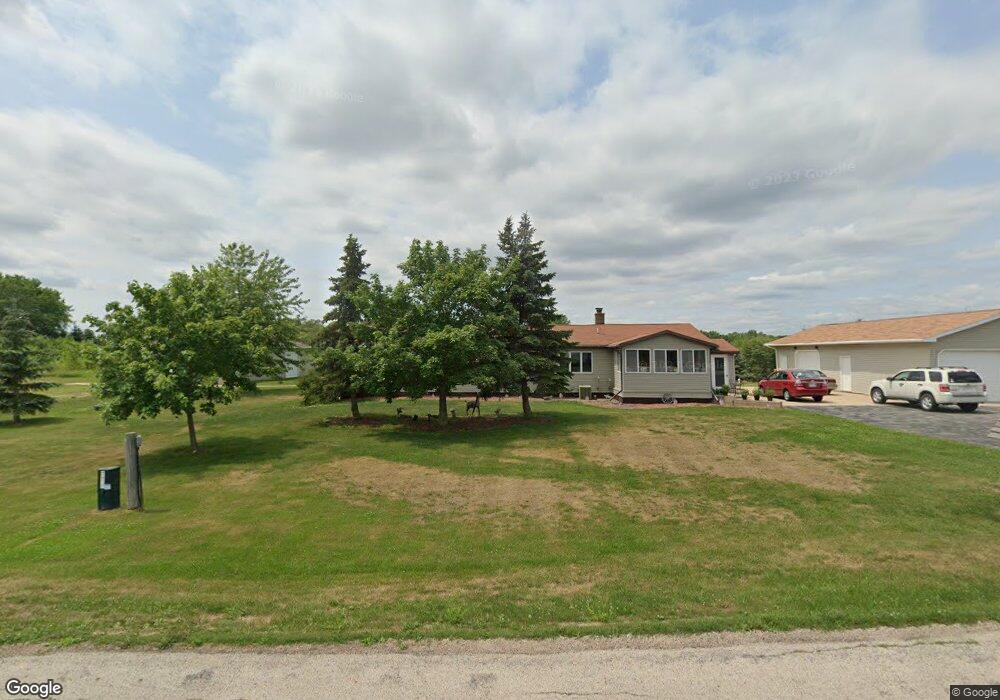
494 S Ronsman Rd Green Bay, WI 54311
Estimated Value: $289,144 - $436,000
--
Bed
--
Bath
--
Sq Ft
1.47
Acres
About This Home
This home is located at 494 S Ronsman Rd, Green Bay, WI 54311 and is currently estimated at $333,536. 494 S Ronsman Rd is a home located in Brown County with nearby schools including Baird Elementary School and Preble High School.
Ownership History
Date
Name
Owned For
Owner Type
Purchase Details
Closed on
Oct 15, 2021
Sold by
Jonet Daniel J and Jonet Lisa M
Bought by
Lax Matthew and Lax Jessica
Current Estimated Value
Home Financials for this Owner
Home Financials are based on the most recent Mortgage that was taken out on this home.
Original Mortgage
$205,000
Outstanding Balance
$186,941
Interest Rate
2.8%
Mortgage Type
Seller Take Back
Estimated Equity
$146,595
Create a Home Valuation Report for This Property
The Home Valuation Report is an in-depth analysis detailing your home's value as well as a comparison with similar homes in the area
Home Values in the Area
Average Home Value in this Area
Purchase History
| Date | Buyer | Sale Price | Title Company |
|---|---|---|---|
| Lax Matthew | $225,000 | Knight Barry Title Llc |
Source: Public Records
Mortgage History
| Date | Status | Borrower | Loan Amount |
|---|---|---|---|
| Open | Lax Matthew | $205,000 |
Source: Public Records
Tax History Compared to Growth
Tax History
| Year | Tax Paid | Tax Assessment Tax Assessment Total Assessment is a certain percentage of the fair market value that is determined by local assessors to be the total taxable value of land and additions on the property. | Land | Improvement |
|---|---|---|---|---|
| 2024 | $2,264 | $154,300 | $27,200 | $127,100 |
| 2023 | $2,166 | $154,300 | $27,200 | $127,100 |
| 2022 | $1,979 | $154,300 | $27,200 | $127,100 |
| 2021 | $2,031 | $154,300 | $27,200 | $127,100 |
| 2020 | $2,231 | $154,500 | $27,400 | $127,100 |
| 2019 | $2,179 | $154,500 | $27,400 | $127,100 |
| 2018 | $2,245 | $154,500 | $27,400 | $127,100 |
| 2017 | $2,187 | $154,500 | $27,400 | $127,100 |
| 2016 | $2,315 | $154,500 | $27,400 | $127,100 |
| 2015 | $2,418 | $154,500 | $27,400 | $127,100 |
| 2014 | $2,395 | $154,500 | $27,400 | $127,100 |
| 2013 | $2,395 | $154,500 | $27,400 | $127,100 |
Source: Public Records
Map
Nearby Homes
- 0 Phillips Rd
- 1073 Phillips Rd
- 3500 Finger Rd
- 4360 Cth Jj
- 5018 E Ronsman Rd
- 0 Grandview Rd
- 0 Grandview Rd
- 0 Grandview Rd
- 0 Grandview Rd
- 2481 Claudia Ln
- 2445 N New Franken Rd
- 5082 Verone Ct
- 5051 Verone Ct
- 2455 N New Franken Rd
- 2465 N New Franken Rd
- 3525 Peppergrass Dr
- 308 Erie Rd
- 300 Erie Rd
- 316 Erie Rd
- 0 Erie Rd Unit 50232624
- 493 S Ronsman Rd
- 456 S Ronsman Rd
- 540 S Ronsman Rd
- 430 S Ronsman Rd
- 515 S Ronsman Rd
- 400 S Ronsman Rd Unit BLOCK
- 420 S Ronsman Rd
- 0 S Ronsman Rd
- 426 S Ronsman Rd
- 592 S Ronsman Rd
- 328 S Ronsman Rd
- 300 S Ronsman Rd
- 273 S Ronsman Rd
- 4747 Finger Rd
- 4710 Finger Rd
- 4607 Finger Rd
- 4585 Finger Rd
- 4750 Finger Rd
- 4793 Finger Rd
- 4821 Finger Rd