494 Upper Rhiney Creek Rd Hallstead, PA 18822
Estimated Value: $135,000 - $282,000
--
Bed
--
Bath
--
Sq Ft
1.17
Acres
About This Home
This home is located at 494 Upper Rhiney Creek Rd, Hallstead, PA 18822 and is currently estimated at $194,271. 494 Upper Rhiney Creek Rd is a home located in Susquehanna County with nearby schools including Choconut Valley Elementary School and Montrose Area Junior/Senior High School.
Ownership History
Date
Name
Owned For
Owner Type
Purchase Details
Closed on
Nov 28, 2011
Sold by
Wilber John Alton and Wilber Penny Marie
Bought by
Carter Scott E and Carter Stephanie J
Current Estimated Value
Home Financials for this Owner
Home Financials are based on the most recent Mortgage that was taken out on this home.
Original Mortgage
$78,000
Outstanding Balance
$33,544
Interest Rate
5.25%
Mortgage Type
Adjustable Rate Mortgage/ARM
Estimated Equity
$160,727
Create a Home Valuation Report for This Property
The Home Valuation Report is an in-depth analysis detailing your home's value as well as a comparison with similar homes in the area
Home Values in the Area
Average Home Value in this Area
Purchase History
| Date | Buyer | Sale Price | Title Company |
|---|---|---|---|
| Carter Scott E | $85,000 | None Available |
Source: Public Records
Mortgage History
| Date | Status | Borrower | Loan Amount |
|---|---|---|---|
| Open | Carter Scott E | $78,000 |
Source: Public Records
Tax History Compared to Growth
Tax History
| Year | Tax Paid | Tax Assessment Tax Assessment Total Assessment is a certain percentage of the fair market value that is determined by local assessors to be the total taxable value of land and additions on the property. | Land | Improvement |
|---|---|---|---|---|
| 2025 | $2,832 | $39,000 | $5,600 | $33,400 |
| 2024 | $2,703 | $39,000 | $5,600 | $33,400 |
| 2023 | $2,703 | $39,000 | $5,600 | $33,400 |
| 2022 | $2,690 | $39,000 | $5,600 | $33,400 |
| 2021 | $2,547 | $39,000 | $5,600 | $33,400 |
| 2020 | $2,570 | $39,000 | $5,600 | $33,400 |
| 2019 | $2,570 | $39,000 | $5,600 | $33,400 |
| 2018 | $2,570 | $39,000 | $5,600 | $33,400 |
| 2017 | $39,000 | $39,000 | $5,600 | $33,400 |
| 2016 | $2,416 | $39,000 | $5,600 | $33,400 |
| 2015 | $410 | $39,000 | $0 | $0 |
| 2014 | $410 | $39,000 | $0 | $0 |
Source: Public Records
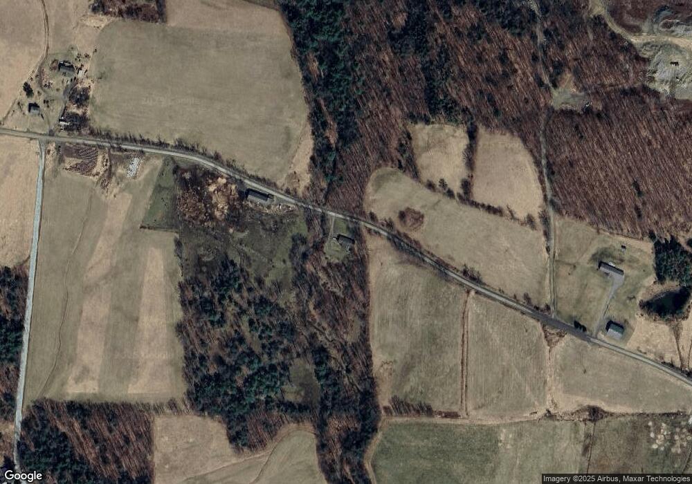
Map
Nearby Homes
- 1098 Lyon Rd
- 520 Mill Rd
- 27 Progy Rd
- 118 Lazy Brook Cir
- 18 Corbettsville Rd
- 641 Conklin Forks Rd
- 70 Scofield Rd
- 1391 Millburn Dr
- 1944 Route 11
- 2023 U S 11
- 2007 Us Route 11
- 2024 Route 7a
- 274 Broome Corporate Pkwy
- 1893 Conklin Rd
- 3030 Liberty Park Rd
- 16,17, 18 Roxbury St
- 252 Main St
- 32 Amber Hill Dr
- 548 Brackney Hill Rd
- 912 Route 11
- 727 Upper Rhiney Creek Rd
- 38 State Line Rd
- 2044 Lyon Rd
- Lot 7 Hyde Rd
- 1989 Lyon Rd
- 185 State Line Rd
- 1068 Lower Rhiney Creek Rd
- 0 Lower Rhiney Creek Rd
- 2756 Lower Rhiney Creek Rd
- 2470 Lower Rhiney Creek Rd
- 13 State Line Rd
- 1859 Lyon Rd
- 23 State Line Rd
- 9 State Line Rd
- 2345 Howard Hill Rd
- 1820 Lyon Rd
- 2207 Lower Rhiney Creek Rd
- 2273 Howard Hill Rd
- 3371 Lower Rhiney Creek Rd
- 63 State Line Rd