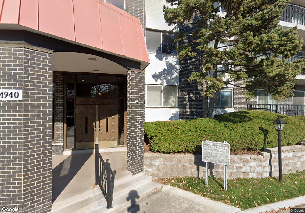
4940 Foster St Unit 201 Skokie, IL 60077
North Skokie NeighborhoodEstimated Value: $233,705 - $317,000
3
Beds
--
Bath
1,870
Sq Ft
$151/Sq Ft
Est. Value
About This Home
This home is located at 4940 Foster St Unit 201, Skokie, IL 60077 and is currently estimated at $283,176, approximately $151 per square foot. 4940 Foster St Unit 201 is a home located in Cook County with nearby schools including Old Orchard Jr High School, Jane Stenson School, and Niles North High School.
Ownership History
Date
Name
Owned For
Owner Type
Purchase Details
Closed on
May 27, 2004
Sold by
Herst Irwin and Herst Lorraine G
Bought by
Schwartz Shoshana
Current Estimated Value
Purchase Details
Closed on
May 23, 2000
Sold by
Lasalle Bank National Assn
Bought by
Herst Irwin and Herst Lorraine G
Home Financials for this Owner
Home Financials are based on the most recent Mortgage that was taken out on this home.
Original Mortgage
$130,000
Interest Rate
11%
Purchase Details
Closed on
Aug 25, 1999
Sold by
First National Bank Of Chicago
Bought by
American National Bk & Tr Co Of Chicago and Trust #125149-07
Create a Home Valuation Report for This Property
The Home Valuation Report is an in-depth analysis detailing your home's value as well as a comparison with similar homes in the area
Home Values in the Area
Average Home Value in this Area
Purchase History
| Date | Buyer | Sale Price | Title Company |
|---|---|---|---|
| Schwartz Shoshana | $250,000 | Ticor Title Insurance | |
| Herst Irwin | $220,000 | Centennial Title Incorporate | |
| American National Bk & Tr Co Of Chicago | -- | -- |
Source: Public Records
Mortgage History
| Date | Status | Borrower | Loan Amount |
|---|---|---|---|
| Previous Owner | Herst Irwin | $130,000 |
Source: Public Records
Tax History Compared to Growth
Tax History
| Year | Tax Paid | Tax Assessment Tax Assessment Total Assessment is a certain percentage of the fair market value that is determined by local assessors to be the total taxable value of land and additions on the property. | Land | Improvement |
|---|---|---|---|---|
| 2024 | $878 | $21,301 | $862 | $20,439 |
| 2023 | $882 | $21,301 | $862 | $20,439 |
| 2022 | $882 | $21,301 | $862 | $20,439 |
| 2021 | $967 | $17,591 | $646 | $16,945 |
| 2020 | $891 | $17,591 | $646 | $16,945 |
| 2019 | $896 | $19,516 | $646 | $18,870 |
| 2018 | $981 | $15,785 | $569 | $15,216 |
| 2017 | $971 | $15,785 | $569 | $15,216 |
| 2016 | $1,537 | $15,785 | $569 | $15,216 |
| 2015 | $1,737 | $11,496 | $492 | $11,004 |
| 2014 | $1,661 | $11,496 | $492 | $11,004 |
| 2013 | $1,186 | $11,496 | $492 | $11,004 |
Source: Public Records
Map
Nearby Homes
- 4940 Foster St Unit 108
- 9529 Bronx Place Unit 314
- 9449 Lavergne Ave
- 4901 Golf Rd Unit 310
- 4840 Foster St Unit 107
- 4840 Foster St Unit 304
- 9244 Gross Point Rd Unit A103
- 9508 Leamington Ave
- 9242 Gross Point Rd Unit B402
- 4949 Church St Unit 107
- 9457 Kenton Ave Unit F
- 9445 Kenton Ave Unit P30
- 9445 Kenton Ave Unit P14
- 9715 Woods Dr Unit 903
- 9715 Woods Dr Unit 1104
- 9655 Woods Dr Unit P350
- 9655 Woods Dr Unit 1809
- 9725 Woods Dr Unit 1913
- 9725 Woods Dr Unit 309
- 9725 Woods Dr Unit 802
- 4940 Foster St Unit 301
- 4940 Foster St Unit 110
- 4940 Foster St Unit 109
- 4940 Foster St Unit 202
- 4940 Foster St Unit 303
- 4940 Foster St Unit 205
- 4940 Foster St Unit 405
- 4940 Foster St Unit 409
- 4940 Foster St Unit 102
- 4940 Foster St Unit 404
- 4940 Foster St Unit 309
- 4940 Foster St Unit 306
- 4940 Foster St Unit 106
- 4940 Foster St Unit 406
- 4940 Foster St Unit 204
- 4940 Foster St Unit 107
- 4940 Foster St Unit 408
- 4940 Foster St Unit 208
- 4940 Foster St Unit 105
- 4940 Foster St Unit 407