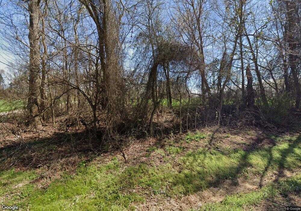
4940 Rankin Rd Concord, NC 28027
Estimated Value: $324,000 - $382,571
3
Beds
2
Baths
1,910
Sq Ft
$187/Sq Ft
Est. Value
About This Home
This home is located at 4940 Rankin Rd, Concord, NC 28027 and is currently estimated at $356,893, approximately $186 per square foot. 4940 Rankin Rd is a home located in Cabarrus County with nearby schools including Charles E. Boger Elementary School, Northwest Cabarrus Middle School, and Northwest Cabarrus High.
Ownership History
Date
Name
Owned For
Owner Type
Purchase Details
Closed on
Mar 14, 2025
Sold by
Harry T Morris Revocable Living Trust and Maralyn R Morris Revocable Living Trust
Bought by
Morris John David
Current Estimated Value
Purchase Details
Closed on
Jul 14, 2016
Sold by
Ballard Bobby Frank
Bought by
Turner Shaun and Turner Amy
Home Financials for this Owner
Home Financials are based on the most recent Mortgage that was taken out on this home.
Original Mortgage
$175,000
Interest Rate
4.25%
Mortgage Type
Adjustable Rate Mortgage/ARM
Create a Home Valuation Report for This Property
The Home Valuation Report is an in-depth analysis detailing your home's value as well as a comparison with similar homes in the area
Home Values in the Area
Average Home Value in this Area
Purchase History
| Date | Buyer | Sale Price | Title Company |
|---|---|---|---|
| Morris John David | -- | None Listed On Document | |
| Morris John David | -- | None Listed On Document | |
| Turner Shaun | $175,000 | None Available |
Source: Public Records
Mortgage History
| Date | Status | Borrower | Loan Amount |
|---|---|---|---|
| Previous Owner | Turner Shaun | $175,000 |
Source: Public Records
Tax History Compared to Growth
Tax History
| Year | Tax Paid | Tax Assessment Tax Assessment Total Assessment is a certain percentage of the fair market value that is determined by local assessors to be the total taxable value of land and additions on the property. | Land | Improvement |
|---|---|---|---|---|
| 2025 | $2,070 | $306,260 | $96,820 | $209,440 |
| 2024 | $2,070 | $306,260 | $96,820 | $209,440 |
| 2023 | $1,669 | $198,730 | $60,690 | $138,040 |
| 2022 | $1,658 | $197,400 | $60,690 | $136,710 |
| 2021 | $1,658 | $197,400 | $60,690 | $136,710 |
| 2020 | $1,658 | $197,400 | $60,690 | $136,710 |
| 2019 | $1,408 | $167,560 | $49,130 | $118,430 |
| 2018 | $1,374 | $167,560 | $49,130 | $118,430 |
| 2017 | $1,307 | $167,560 | $49,130 | $118,430 |
| 2016 | $1,232 | $164,650 | $54,910 | $109,740 |
| 2015 | $1,193 | $164,650 | $54,910 | $109,740 |
| 2014 | $1,193 | $164,650 | $54,910 | $109,740 |
Source: Public Records
Map
Nearby Homes
- 6872 Buttercup Ln
- 6327 Fox Tail Ln
- 5850 Alexander Rd
- 0000 Farmstead Ln
- 0 Honey Tree Ln
- 4012 Honey Tree Ln
- 6321 Trinity Crossing Cir
- 3277 Trinity Church Dr
- 3351 Trinity Church Dr
- 5950 Willowood Rd
- 6761 Fox Ridge Cir
- 6017 Pagemont Rd
- 260 Westen Acres Dr
- 9650 Barnett Rd
- 6231 Kentwood Dr
- 5445 Mooresville Rd
- 3099 Trinity Church Rd
- 0 Dogwood Dr
- 860 Arrow Point Ln
- 8282 Park Edwards Rd
- 7770 Mooresville Rd
- 7780 Mooresville Rd
- 7750 Mooresville Rd
- 7681 Tuckaseegee Rd
- 7661 Tuckaseegee Rd
- 7809 Westbrook Dr
- 7809 Westbrook Dr Unit 29
- 0 Westbrook Dr Unit 754778
- 00 Westbrook Dr
- 7800 Westbrook Dr
- 7657 Tuckaseegee Rd
- 7649 & 7653 Tuckaseegee Rd
- 7815 Westbrook Dr
- 7653 Tuckaseegee Rd
- 7653 Tuckaseegee Rd Unit 7
- 7810 Westbrook Dr
- 7510 Tuckaseegee Rd
- 7649 Tuckaseegee Rd
- 7649 Tuckaseegee Rd Unit 8
- 7656 Tuckaseegee Rd
