4940 Samantha Ct Unit 41 Liberty Township, OH 45011
Estimated Value: $422,985 - $488,000
3
Beds
2
Baths
2,016
Sq Ft
$230/Sq Ft
Est. Value
About This Home
This home is located at 4940 Samantha Ct Unit 41, Liberty Township, OH 45011 and is currently estimated at $462,746, approximately $229 per square foot. 4940 Samantha Ct Unit 41 is a home located in Butler County with nearby schools including Heritage Early Childhood School, Cherokee Elementary School, and Lakota Plains Junior School.
Ownership History
Date
Name
Owned For
Owner Type
Purchase Details
Closed on
Apr 28, 2015
Sold by
First Financial Collateral Inc
Bought by
Thompson Travis L
Current Estimated Value
Home Financials for this Owner
Home Financials are based on the most recent Mortgage that was taken out on this home.
Original Mortgage
$14,000
Outstanding Balance
$10,171
Interest Rate
5%
Mortgage Type
Adjustable Rate Mortgage/ARM
Estimated Equity
$452,575
Purchase Details
Closed on
Sep 26, 2014
Sold by
Hut 1 Llc
Bought by
First Financial Collateral Inc
Purchase Details
Closed on
Aug 26, 2011
Sold by
Hut 1 Llc
Bought by
First Financial Collateral Inc and First Financial Bank Na
Create a Home Valuation Report for This Property
The Home Valuation Report is an in-depth analysis detailing your home's value as well as a comparison with similar homes in the area
Home Values in the Area
Average Home Value in this Area
Purchase History
| Date | Buyer | Sale Price | Title Company |
|---|---|---|---|
| Thompson Travis L | $17,500 | Attorney | |
| First Financial Collateral Inc | $10,000 | None Available | |
| First Financial Collateral Inc | $26,600 | None Available |
Source: Public Records
Mortgage History
| Date | Status | Borrower | Loan Amount |
|---|---|---|---|
| Open | Thompson Travis L | $14,000 |
Source: Public Records
Tax History Compared to Growth
Tax History
| Year | Tax Paid | Tax Assessment Tax Assessment Total Assessment is a certain percentage of the fair market value that is determined by local assessors to be the total taxable value of land and additions on the property. | Land | Improvement |
|---|---|---|---|---|
| 2024 | $4,947 | $122,130 | $15,770 | $106,360 |
| 2023 | $4,884 | $120,490 | $15,770 | $104,720 |
| 2022 | $4,415 | $86,400 | $15,770 | $70,630 |
| 2021 | $4,392 | $86,400 | $15,770 | $70,630 |
| 2020 | $4,502 | $86,400 | $15,770 | $70,630 |
| 2019 | $7,406 | $76,880 | $15,740 | $61,140 |
| 2018 | $4,479 | $76,880 | $15,740 | $61,140 |
| 2017 | $4,549 | $76,880 | $15,740 | $61,140 |
| 2016 | $2,492 | $41,440 | $15,740 | $25,700 |
| 2015 | $361 | $6,130 | $6,130 | $0 |
| 2014 | $8,001 | $11,020 | $11,020 | $0 |
| 2013 | $8,001 | $12,250 | $12,250 | $0 |
Source: Public Records
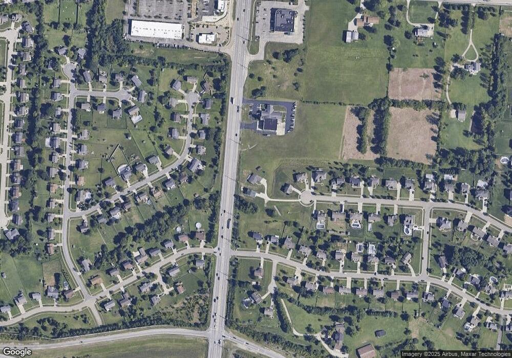
Map
Nearby Homes
- 5108 Grandin Ridge Dr
- 4520 Logsdons Meadow Dr
- 4871 Imperial Dr
- 5168 Grandin Ridge Dr
- 5146 Mountview Ct
- 7077 Parliament Place
- 6993 Clawson Ridge Ct
- 5003 Arena Ct
- 5053 Maiden Way
- 5011 Arena Ct
- 5038 Maiden Way
- 4991 Arena Ct
- 4893 Arena Ct
- 6940 Crown Pointe Dr
- 7144 Lookout Ct
- 0 Walnut Creek Dr Unit 1850153
- 6406 Whippoorwill Dr
- 7229 W Hartford Ct
- 4940 Samantha Ct
- 4950 Samantha Ct Unit 39
- 4950 Samantha Ct
- 4949 Samantha Ct Unit 40
- 4949 Samantha Ct
- 4960 Samantha Ct
- 21 Samantha Ct
- 39 Samantha Ct Unit 39
- 18 Samantha Ct Unit 18
- 4962 Grandin Ridge Dr
- 4945 Meadow Vista Ct
- 4968 Grandin Ridge Dr
- 4970 Samantha Ct
- 4955 Meadow Vista Ct
- 4933 Meadow Vista Ct
- 4978 Grandin Ridge Dr
- 4921 Meadow Vista Ct
- 4969 Samantha Ct
- 4965 Meadow Vista Ct
- 0 Samantha Ct