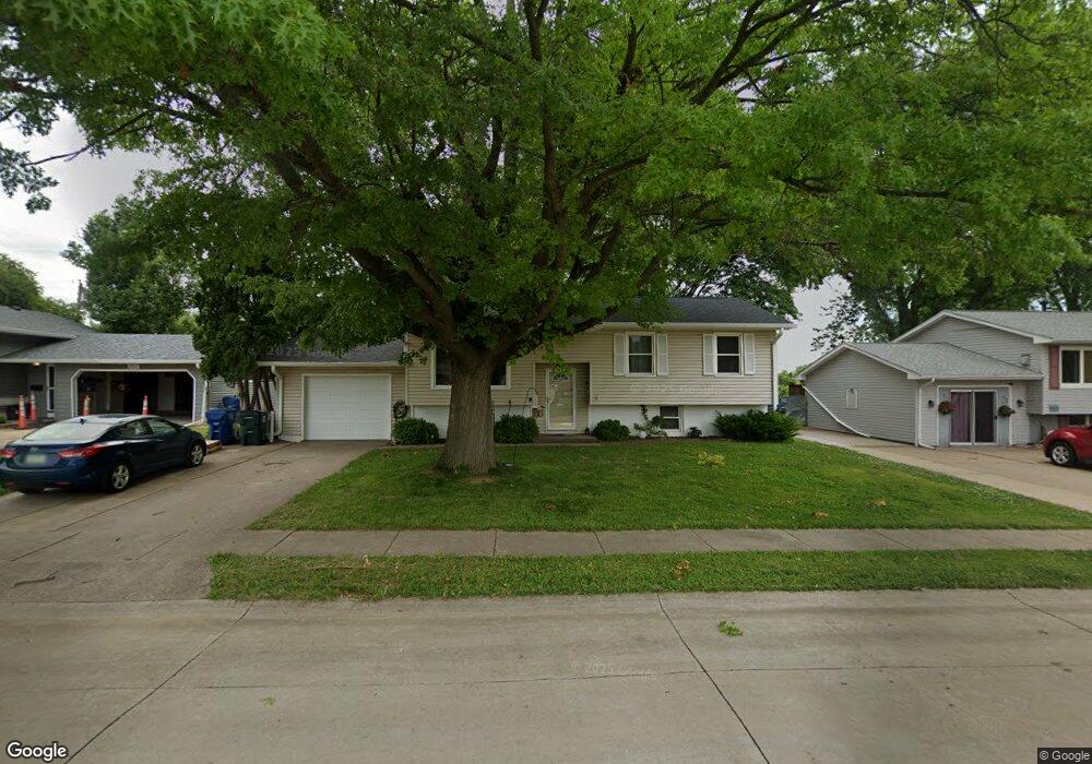
4941 Brown St Davenport, IL 52806
North Side NeighborhoodEstimated Value: $220,000 - $224,000
4
Beds
2
Baths
1,028
Sq Ft
$216/Sq Ft
Est. Value
About This Home
This home is located at 4941 Brown St, Davenport, IL 52806 and is currently estimated at $221,742, approximately $215 per square foot. 4941 Brown St is a home located in Scott County with nearby schools including Harrison Elementary School, Wood Intermediate School, and North High School.
Ownership History
Date
Name
Owned For
Owner Type
Purchase Details
Closed on
Jun 1, 2023
Sold by
Charles F Easton And Barbara A Easton Re
Bought by
Strayer Cory T
Current Estimated Value
Home Financials for this Owner
Home Financials are based on the most recent Mortgage that was taken out on this home.
Original Mortgage
$180,250
Outstanding Balance
$175,238
Interest Rate
6.39%
Mortgage Type
New Conventional
Estimated Equity
$46,504
Purchase Details
Closed on
Apr 26, 2010
Sold by
Easton Charles F and Easton Barbara A
Bought by
Charles Charles F and Charles Barbara L
Create a Home Valuation Report for This Property
The Home Valuation Report is an in-depth analysis detailing your home's value as well as a comparison with similar homes in the area
Home Values in the Area
Average Home Value in this Area
Purchase History
| Date | Buyer | Sale Price | Title Company |
|---|---|---|---|
| Strayer Cory T | $195,000 | None Listed On Document | |
| Charles Charles F | -- | None Available |
Source: Public Records
Mortgage History
| Date | Status | Borrower | Loan Amount |
|---|---|---|---|
| Open | Strayer Cory T | $180,250 |
Source: Public Records
Tax History Compared to Growth
Tax History
| Year | Tax Paid | Tax Assessment Tax Assessment Total Assessment is a certain percentage of the fair market value that is determined by local assessors to be the total taxable value of land and additions on the property. | Land | Improvement |
|---|---|---|---|---|
| 2025 | $3,314 | $213,170 | $44,740 | $168,430 |
| 2024 | $3,234 | $185,430 | $44,740 | $140,690 |
| 2023 | $3,172 | $185,430 | $44,740 | $140,690 |
| 2022 | $3,072 | $160,790 | $32,540 | $128,250 |
| 2021 | $3,072 | $155,580 | $32,540 | $123,040 |
| 2020 | $2,980 | $149,320 | $32,540 | $116,780 |
| 2019 | $2,922 | $142,020 | $32,540 | $109,480 |
| 2018 | $2,740 | $142,020 | $32,540 | $109,480 |
| 2017 | $742 | $136,810 | $32,540 | $104,270 |
| 2016 | $2,732 | $136,810 | $0 | $0 |
| 2015 | $2,732 | $137,190 | $0 | $0 |
| 2014 | $2,780 | $137,190 | $0 | $0 |
| 2013 | $2,726 | $0 | $0 | $0 |
| 2012 | -- | $124,650 | $40,240 | $84,410 |
Source: Public Records
Map
Nearby Homes
- 825 Northbrook Dr
- 611 Northbrook Dr
- 4804 Northwest Blvd
- 4612 Warren St Unit 5
- 315 Colony Dr
- 4730 Willow Cir
- 1315 W 52nd Street Ct
- 237 Colony Dr
- 4717 N Harrison St
- 803 W 57th St
- 5516 Quercus Ln
- 4311 Wittman Dr
- 4244 Wittman Dr
- 4023 Lillie Ave Unit 406
- 4023 Lillie Ave Unit 505
- 4015 Lillie Ave Unit 106
- 6112 Western Ave
- 6205 N Ripley St
- 1415 W 59th St
- 5210 N Division St
- 4941 Brown St
- 4947 Brown St
- 4933 Brown St
- 4942 Brown St
- 4925 Brown St
- 5001 Brown St
- 4930 Brown St
- 815 Mount Vernon Dr
- 5005 Brown St
- 4919 Brown St
- 905 Mount Vernon Dr
- 806 Mount Vernon Dr
- 811 Northbrook Dr
- 811 Northbrook Dr
- 5011 Brown St
- 4911 Brown St
- 5007 Warren St
- 835 Northbrook Dr
- 5012 Brown St
- 5017 Brown St