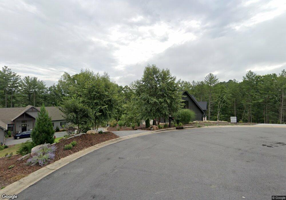
4941 Camden Pointe Dr Morganton, NC 28655
Lake James NeighborhoodEstimated Value: $923,000 - $2,413,525
3
Beds
5
Baths
5,108
Sq Ft
$361/Sq Ft
Est. Value
About This Home
This home is located at 4941 Camden Pointe Dr, Morganton, NC 28655 and is currently estimated at $1,841,842, approximately $360 per square foot. 4941 Camden Pointe Dr is a home with nearby schools including Glen Alpine Elementary School, Table Rock Middle School, and Freedom High School.
Ownership History
Date
Name
Owned For
Owner Type
Purchase Details
Closed on
Jan 28, 2021
Sold by
Hannibal Matthew and Hannibal Janimie
Bought by
Keverline Jeffrey Paul and Keverline Heather Jill
Current Estimated Value
Purchase Details
Closed on
Jun 12, 2009
Sold by
Diehl Ronald A
Bought by
Hannibal Matthew and Hannibal Janine
Home Financials for this Owner
Home Financials are based on the most recent Mortgage that was taken out on this home.
Original Mortgage
$243,200
Interest Rate
4.77%
Mortgage Type
Future Advance Clause Open End Mortgage
Create a Home Valuation Report for This Property
The Home Valuation Report is an in-depth analysis detailing your home's value as well as a comparison with similar homes in the area
Home Values in the Area
Average Home Value in this Area
Purchase History
| Date | Buyer | Sale Price | Title Company |
|---|---|---|---|
| Keverline Jeffrey Paul | $359,000 | None Available | |
| Hannibal Matthew | $304,000 | None Available |
Source: Public Records
Mortgage History
| Date | Status | Borrower | Loan Amount |
|---|---|---|---|
| Previous Owner | Hannibal Matthew | $243,200 |
Source: Public Records
Tax History Compared to Growth
Tax History
| Year | Tax Paid | Tax Assessment Tax Assessment Total Assessment is a certain percentage of the fair market value that is determined by local assessors to be the total taxable value of land and additions on the property. | Land | Improvement |
|---|---|---|---|---|
| 2025 | $10,272 | $1,603,130 | $350,800 | $1,252,330 |
| 2024 | $9,275 | $1,603,130 | $350,800 | $1,252,330 |
| 2023 | $2,418 | $377,752 | $350,800 | $26,952 |
| 2022 | $2,186 | $282,087 | $251,400 | $30,687 |
| 2021 | $2,186 | $282,087 | $251,400 | $30,687 |
| 2020 | $2,142 | $282,087 | $251,400 | $30,687 |
| 2019 | $1,948 | $251,400 | $251,400 | $0 |
| 2018 | $2,144 | $276,680 | $276,680 | $0 |
| 2017 | $2,144 | $276,680 | $276,680 | $0 |
| 2016 | $2,103 | $276,680 | $276,680 | $0 |
| 2015 | $2,103 | $276,680 | $276,680 | $0 |
| 2014 | $2,103 | $276,680 | $276,680 | $0 |
| 2013 | $2,103 | $276,680 | $276,680 | $0 |
Source: Public Records
Map
Nearby Homes
- 1441 Pheasant Run Ct
- 1441 Southpointe Dr Unit 249
- 1416 Southpointe Dr
- 1387 Cedar Branch Ln
- 3107 Channel View Cove
- 2148 E Bluewater Dr
- 2108 E Bluewater Dr
- 3100 E Moonlight Place Unit 42
- 1277 Northview Dr
- 5619 Channel View Cove
- 1590 Hawks Pointe Ln
- 1513 Brentwood Place
- 4625 Boyd Moore Ave
- 1600 Lillians Point Ct Unit 33
- 2018 Starlight Ln
- 0 Boyd Moore Ave Unit CAR3848175
- 1504 Brentwood Place
- 4617 Harbor View Terrace
- 2033 Starlight Ln Unit 111
- 1838 Southpointe Dr
- 4932 Camden Pointe Dr Unit 243
- 4953 Camden Pointe Dr Unit 241
- 4940 Camden Pointe Dr
- 4950 Camden Pointe Ln Unit 245
- 4950 Camden Pointe Dr Unit 245
- 1417 Pheasant Run Ct
- #244 Camden Pointe Dr Unit 244
- 4960 Camden Pointe Dr
- 1596 Harris Whisnant Rd
- 1586 Harris Whisnant Rd
- 4974 Camden Pointe Dr Unit 247
- 4974 Camden Pointe Dr
- 1420 Pheasant Run Ct
- 1420 Pheasant Run Ct Unit 237
- 4832 Camden Pointe Dr
- 1429 Southpointe Dr
- 1441 Southpointe Dr
- 1442 Pheasant Run Ct
- 1583 Sam Mull Dr
- 1513 Southpointe Dr