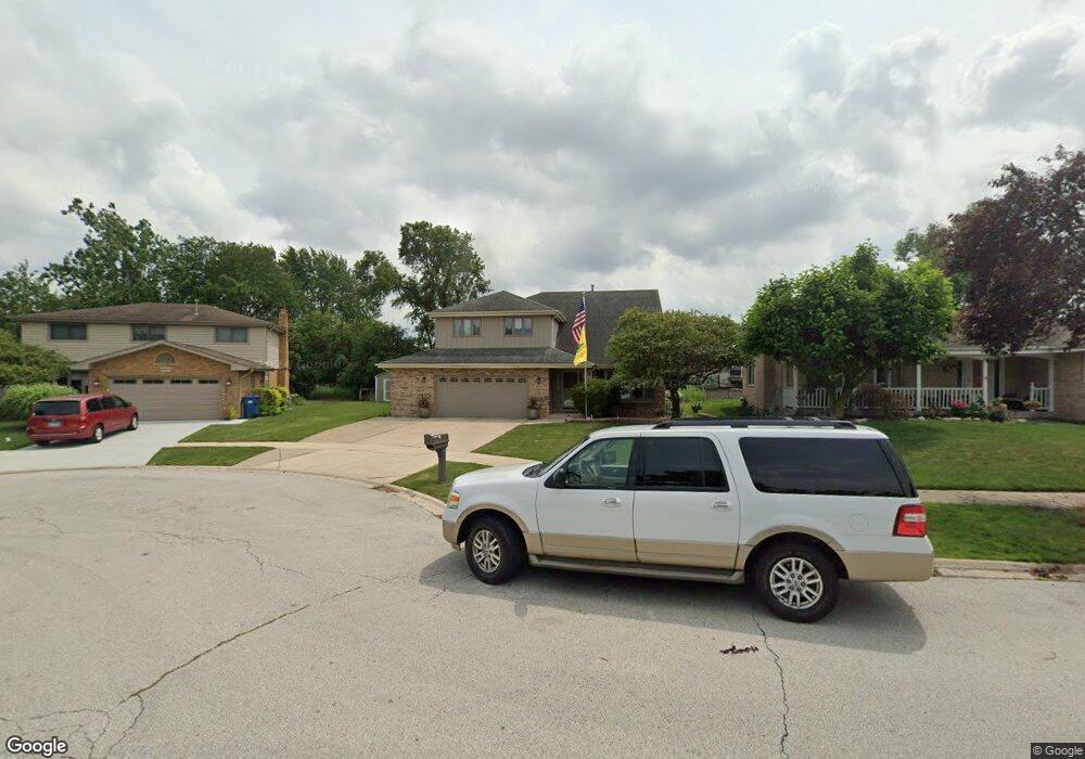
4943 147th Ct Midlothian, IL 60445
Estimated Value: $301,000 - $443,000
4
Beds
3
Baths
3,006
Sq Ft
$130/Sq Ft
Est. Value
About This Home
This home is located at 4943 147th Ct, Midlothian, IL 60445 and is currently estimated at $390,747, approximately $129 per square foot. 4943 147th Ct is a home located in Cook County with nearby schools including Kerkstra Elementary School, Jack Hille Middle School, and Oak Forest High School.
Ownership History
Date
Name
Owned For
Owner Type
Purchase Details
Closed on
Jun 22, 2000
Sold by
Mailhiot Thomas G and Mailhiot Patricia J
Bought by
Mailhiot Thomas G and Mailhiot Patricia J
Current Estimated Value
Purchase Details
Closed on
May 1, 1995
Sold by
Larkin Andrew J and Larkin Sharon L
Bought by
Mailhiot Thomas G and Mailhiot Patricia J
Home Financials for this Owner
Home Financials are based on the most recent Mortgage that was taken out on this home.
Original Mortgage
$120,000
Interest Rate
7.37%
Create a Home Valuation Report for This Property
The Home Valuation Report is an in-depth analysis detailing your home's value as well as a comparison with similar homes in the area
Home Values in the Area
Average Home Value in this Area
Purchase History
| Date | Buyer | Sale Price | Title Company |
|---|---|---|---|
| Mailhiot Thomas G | -- | -- | |
| Mailhiot Thomas G | $210,000 | -- |
Source: Public Records
Mortgage History
| Date | Status | Borrower | Loan Amount |
|---|---|---|---|
| Closed | Mailhiot Thomas G | $120,000 |
Source: Public Records
Tax History Compared to Growth
Tax History
| Year | Tax Paid | Tax Assessment Tax Assessment Total Assessment is a certain percentage of the fair market value that is determined by local assessors to be the total taxable value of land and additions on the property. | Land | Improvement |
|---|---|---|---|---|
| 2024 | $11,723 | $34,376 | $3,114 | $31,262 |
| 2023 | $10,281 | $36,000 | $3,114 | $32,886 |
| 2022 | $10,281 | $25,590 | $2,768 | $22,822 |
| 2021 | $10,032 | $25,590 | $2,768 | $22,822 |
| 2020 | $9,715 | $25,590 | $2,768 | $22,822 |
| 2019 | $9,200 | $24,562 | $2,595 | $21,967 |
| 2018 | $9,013 | $24,562 | $2,595 | $21,967 |
| 2017 | $8,760 | $24,562 | $2,595 | $21,967 |
| 2016 | $7,890 | $20,909 | $2,422 | $18,487 |
| 2015 | $7,658 | $20,909 | $2,422 | $18,487 |
| 2014 | $7,451 | $20,909 | $2,422 | $18,487 |
| 2013 | $7,530 | $23,464 | $2,422 | $21,042 |
Source: Public Records
Map
Nearby Homes
- 14913 Sheila Ct
- 14840 Kilpatrick Ave Unit 604
- 14833 Kilpatrick Ave
- 14457 Lamon Ave Unit 3N
- 15119 Laporte Ave
- 14710 Kenton Ave
- 4653 146th St
- 14704 Kenton Ave
- 15117 La Crosse Ave
- 14815 Kenton Ave Unit 1
- 14926 Kenton Ave
- 14602 Kenton Ave
- 15125 Cicero Ave
- 14603 Kenton Ave
- 15240 Laporte Ave
- 14951 Kilbourne Ave
- 5515 Cromwell Ln Unit M2
- 14341 Kenton Ave
- 14632 Kostner Ave
- 14533 Walden Ct Unit G2