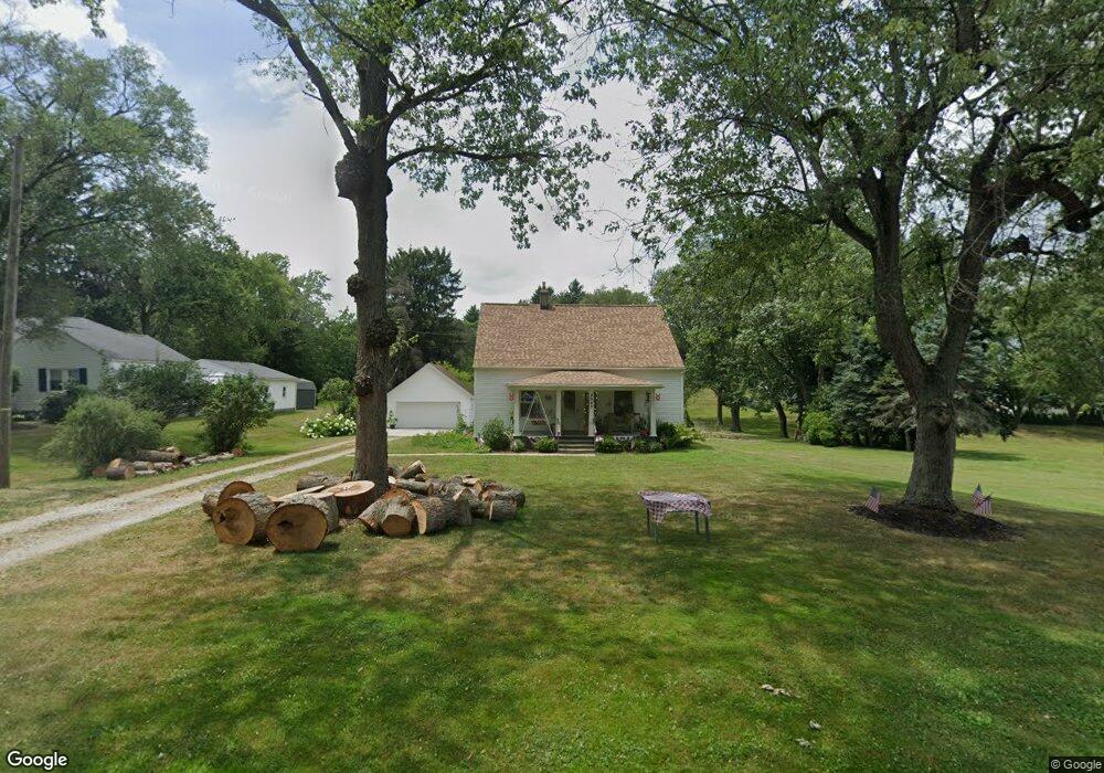
4943 Stoner Ave Louisville, OH 44641
Estimated Value: $163,000 - $189,000
3
Beds
1
Bath
1,464
Sq Ft
$122/Sq Ft
Est. Value
About This Home
This home is located at 4943 Stoner Ave, Louisville, OH 44641 and is currently estimated at $179,017, approximately $122 per square foot. 4943 Stoner Ave is a home located in Stark County with nearby schools including Louisville High School and St. Thomas Aquinas High School & Middle School.
Ownership History
Date
Name
Owned For
Owner Type
Purchase Details
Closed on
Apr 18, 2022
Sold by
Reinford and Kathryn
Bought by
Koehler Timothy L
Current Estimated Value
Home Financials for this Owner
Home Financials are based on the most recent Mortgage that was taken out on this home.
Original Mortgage
$100,000
Outstanding Balance
$93,433
Interest Rate
3.76%
Mortgage Type
Balloon
Estimated Equity
$85,584
Purchase Details
Closed on
Aug 16, 2016
Sold by
Reinford Vernon and Reinford Kathryn
Bought by
Reinford Vernon and Reinford Kathryn
Purchase Details
Closed on
Oct 11, 1988
Create a Home Valuation Report for This Property
The Home Valuation Report is an in-depth analysis detailing your home's value as well as a comparison with similar homes in the area
Home Values in the Area
Average Home Value in this Area
Purchase History
| Date | Buyer | Sale Price | Title Company |
|---|---|---|---|
| Koehler Timothy L | $125,000 | Bixler & Moore Llc | |
| Koehler Timothy L | $125,000 | Bixler & Moore Llc | |
| Reinford Vernon | -- | None Available | |
| -- | $40,000 | -- |
Source: Public Records
Mortgage History
| Date | Status | Borrower | Loan Amount |
|---|---|---|---|
| Open | Koehler Timothy L | $100,000 | |
| Closed | Koehler Timothy L | $100,000 |
Source: Public Records
Tax History Compared to Growth
Tax History
| Year | Tax Paid | Tax Assessment Tax Assessment Total Assessment is a certain percentage of the fair market value that is determined by local assessors to be the total taxable value of land and additions on the property. | Land | Improvement |
|---|---|---|---|---|
| 2025 | -- | $61,080 | $20,440 | $40,640 |
| 2024 | -- | $61,080 | $20,440 | $40,640 |
| 2023 | $2,187 | $44,910 | $14,460 | $30,450 |
| 2022 | $2,241 | $44,910 | $14,460 | $30,450 |
| 2021 | $1,907 | $38,090 | $14,460 | $23,630 |
| 2020 | $1,610 | $33,880 | $13,020 | $20,860 |
| 2019 | $1,618 | $33,890 | $13,020 | $20,870 |
| 2018 | $1,614 | $33,890 | $13,020 | $20,870 |
| 2017 | $1,561 | $31,300 | $12,220 | $19,080 |
| 2016 | $1,583 | $32,420 | $12,220 | $20,200 |
| 2015 | $1,587 | $32,420 | $12,220 | $20,200 |
| 2014 | $1,497 | $28,290 | $10,640 | $17,650 |
| 2013 | $752 | $28,290 | $10,640 | $17,650 |
Source: Public Records
Map
Nearby Homes
- 2015 E Main St
- 5495 Meese Rd NE
- 1812 E Broad St
- 1413 Washington Blvd
- 0 Michigan Blvd
- 2110 Edmar St
- 6052 N Nickelplate St
- 910 Crosswyck Cir
- 308 Superior St
- 520 S Silver St
- 5765 Maplegrove St
- 728 E Broad St
- 325 Lincoln Ave
- 344 E Reno Dr
- 316 E Reno Dr
- 8896 Rue Helena St
- 5990 Meese Rd NE
- 428 Honeycrisp Dr NE
- 3047 Mcintosh Dr NE
- 432 Honeycrisp Dr NE
- 4903 Stoner Ave
- 4885 Stoner Ave
- 4958 Stoner Ave
- 4942 Stoner Ave
- 4950 Stoner Ave
- 4894 Stoner Ave
- 4855 Stoner Ave
- 8966 Scott St
- 4984 Stoner Ave
- 4847 Stoner Ave
- 45 Presidents Ave
- 8948 Scott St
- 4860 Stoner Ave
- 7005 Ravanna NW
- 9035 Scott St
- 9013 Scott St
- 8964 Transit St
- 8963 Scott St
- 8990 Transit St
- 8912 Scott St