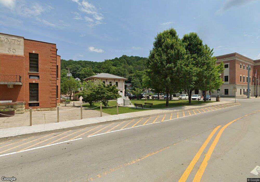
4944 Highway 3447 Mc Kee, KY 40447
Estimated Value: $277,000 - $351,000
3
Beds
3
Baths
3,150
Sq Ft
$99/Sq Ft
Est. Value
About This Home
This home is located at 4944 Highway 3447, Mc Kee, KY 40447 and is currently estimated at $312,004, approximately $99 per square foot. 4944 Highway 3447 is a home located in Jackson County with nearby schools including Jackson County High School.
Ownership History
Date
Name
Owned For
Owner Type
Purchase Details
Closed on
May 9, 2022
Sold by
Isaacs Travis Ryan and Ashley Nicole
Bought by
Obryant Sean Michael and Obryant Amber Elizabeth
Current Estimated Value
Home Financials for this Owner
Home Financials are based on the most recent Mortgage that was taken out on this home.
Original Mortgage
$253,192
Outstanding Balance
$239,346
Interest Rate
4.72%
Mortgage Type
VA
Estimated Equity
$72,658
Purchase Details
Closed on
Jan 14, 2019
Sold by
Robbie Abner and Robbie Tonia
Bought by
Isaacs Travis R and Isaacs Ashley N
Home Financials for this Owner
Home Financials are based on the most recent Mortgage that was taken out on this home.
Original Mortgage
$139,968
Interest Rate
4.6%
Mortgage Type
New Conventional
Purchase Details
Closed on
Jun 1, 2010
Bought by
Anglin Daniel and Anglin Tonya
Create a Home Valuation Report for This Property
The Home Valuation Report is an in-depth analysis detailing your home's value as well as a comparison with similar homes in the area
Home Values in the Area
Average Home Value in this Area
Purchase History
| Date | Buyer | Sale Price | Title Company |
|---|---|---|---|
| Obryant Sean Michael | $382 | None Listed On Document | |
| Obryant Sean Michael | $382 | None Listed On Document | |
| Isaacs Travis R | $145,800 | Executive Title | |
| Anglin Daniel | -- | -- |
Source: Public Records
Mortgage History
| Date | Status | Borrower | Loan Amount |
|---|---|---|---|
| Open | Obryant Sean Michael | $253,192 | |
| Previous Owner | Isaacs Travis R | $139,968 |
Source: Public Records
Tax History Compared to Growth
Tax History
| Year | Tax Paid | Tax Assessment Tax Assessment Total Assessment is a certain percentage of the fair market value that is determined by local assessors to be the total taxable value of land and additions on the property. | Land | Improvement |
|---|---|---|---|---|
| 2024 | $2,873 | $247,000 | $0 | $0 |
| 2023 | $2,920 | $247,000 | $0 | $0 |
| 2022 | $1,712 | $145,000 | $0 | $0 |
| 2021 | $1,739 | $145,000 | $0 | $0 |
| 2020 | $1,732 | $145,000 | $0 | $0 |
| 2019 | $1,662 | $138,500 | $0 | $0 |
| 2018 | $970 | $82,000 | $0 | $0 |
| 2017 | $961 | $82,000 | $0 | $0 |
| 2011 | -- | $75,500 | $0 | $0 |
Source: Public Records
Map
Nearby Homes
- 0 Morrill-Kerby Knob Rd
- 10002 U S 421
- 10007 U S 421
- 397 Perry Ln
- 705 Upper Dry Fork Rd
- 242 Lodge Hall Rd
- 304 Lodge Hall Rd
- 815 Highway 3446
- 9999 Highway 2004
- 0 Nellie Baker Rd
- 101 Steele Ln
- 6024 U S 421
- 604 U S 421
- 0000 Highway 1955
- 1850 Upper Dry Fork Rd
- 999 Long Branch Rd
- 19917 State Highway 2004
- 888 Wilder Ridge Rd
- 439 Congleton Hollow Rd
- 11 Congleton Hollow Rd
- 4944 Highway 3447
- 4944 Highway 3447
- 4070 Highway 3447
- 4036 Highway 3447
- 5048 Highway 3447
- 5016 Highway 3447
- 7777 Highway 3447
- 4982 Highway 3447
- 4115 Highway 3447
- 4124 Highway 3447
- 769 State Highway 3447
- 777 State Highway 3447
- 5011 Highway 3447
- 4897 Highway 3447
- 907 Morrill-Kerby Knob Rd
- 773 Morrill-Kerby Knob Rd
- 777 Morrill-Kerby Knob Rd
- 917 Morrill-Kerby Knob Rd
- 1 State Highway 2004
- 0 State Highway 2004
