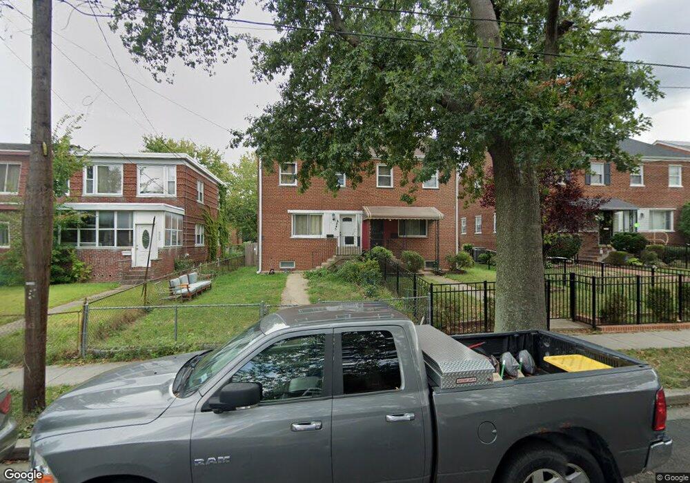
4945 12th St NE Washington, DC 20017
Michigan Park NeighborhoodEstimated Value: $479,816 - $529,000
3
Beds
2
Baths
1,080
Sq Ft
$474/Sq Ft
Est. Value
About This Home
This home is located at 4945 12th St NE, Washington, DC 20017 and is currently estimated at $511,939, approximately $474 per square foot. 4945 12th St NE is a home located in District of Columbia with nearby schools including Bunker Hill Elementary School, Brookland Middle School, and Dunbar High School.
Ownership History
Date
Name
Owned For
Owner Type
Purchase Details
Closed on
Mar 11, 2003
Sold by
Williams Larisha
Bought by
Velasquez Maria
Current Estimated Value
Home Financials for this Owner
Home Financials are based on the most recent Mortgage that was taken out on this home.
Original Mortgage
$174,600
Outstanding Balance
$74,777
Interest Rate
5.95%
Mortgage Type
New Conventional
Estimated Equity
$437,162
Purchase Details
Closed on
Feb 25, 1999
Sold by
Wagner Charles
Bought by
Williams Larisha
Create a Home Valuation Report for This Property
The Home Valuation Report is an in-depth analysis detailing your home's value as well as a comparison with similar homes in the area
Home Values in the Area
Average Home Value in this Area
Purchase History
| Date | Buyer | Sale Price | Title Company |
|---|---|---|---|
| Velasquez Maria | $180,000 | -- | |
| Williams Larisha | $125,000 | -- |
Source: Public Records
Mortgage History
| Date | Status | Borrower | Loan Amount |
|---|---|---|---|
| Open | Velasquez Maria | $174,600 |
Source: Public Records
Tax History
| Year | Tax Paid | Tax Assessment Tax Assessment Total Assessment is a certain percentage of the fair market value that is determined by local assessors to be the total taxable value of land and additions on the property. | Land | Improvement |
|---|---|---|---|---|
| 2025 | $3,858 | $453,910 | $309,750 | $144,160 |
| 2024 | $3,779 | $444,550 | $308,190 | $136,360 |
| 2023 | $3,713 | $436,780 | $300,970 | $135,810 |
| 2022 | $3,477 | $409,030 | $284,470 | $124,560 |
| 2021 | $3,351 | $394,250 | $280,270 | $113,980 |
| 2020 | $3,288 | $386,770 | $274,350 | $112,420 |
| 2019 | $3,092 | $363,730 | $252,470 | $111,260 |
| 2017 | $2,655 | $312,320 | $0 | $0 |
| 2016 | $2,332 | $274,400 | $0 | $0 |
Source: Public Records
Map
Nearby Homes
- 4705 Sargent Rd NE
- 5035 Sargent Rd NE
- 5018 11th St NE
- 4803 10th St NE
- 5043 11th St NE
- 1261 Gallatin St NE
- 5031 S Dakota Ave NE
- 5047 13th St NE
- 5049 8th St NE
- 838 Buchanan St NE
- 4928 8th St NE
- 4954 8th St NE
- 1324 Galloway St NE
- 4509 12th St NE
- 4526 South Dakota Ave NE
- 4710 8th St NE
- 724 Crittenden St NE
- 720 Decatur St NE
- 647 Emerson St NE
- 5211 11th St NE
- 4949 12th St NE
- 4943 12th St NE
- 4951 12th St NE
- 4939 12th St NE
- 4955 12th St NE
- 4937 12th St NE
- 4957 12th St NE
- 4933 12th St NE
- 4952 Sargent Rd NE
- 4950 Sargent Rd NE
- 4958 Sargent Rd NE
- 4946 Sargent Rd NE
- 4961 12th St NE
- 4931 12th St NE
- 4962 Sargent Rd NE
- 4944 Sargent Rd NE
- 4964 Sargent Rd NE
- 4963 12th St NE
- 4927 12th St NE
- 4940 Sargent Rd NE
Your Personal Tour Guide
Ask me questions while you tour the home.