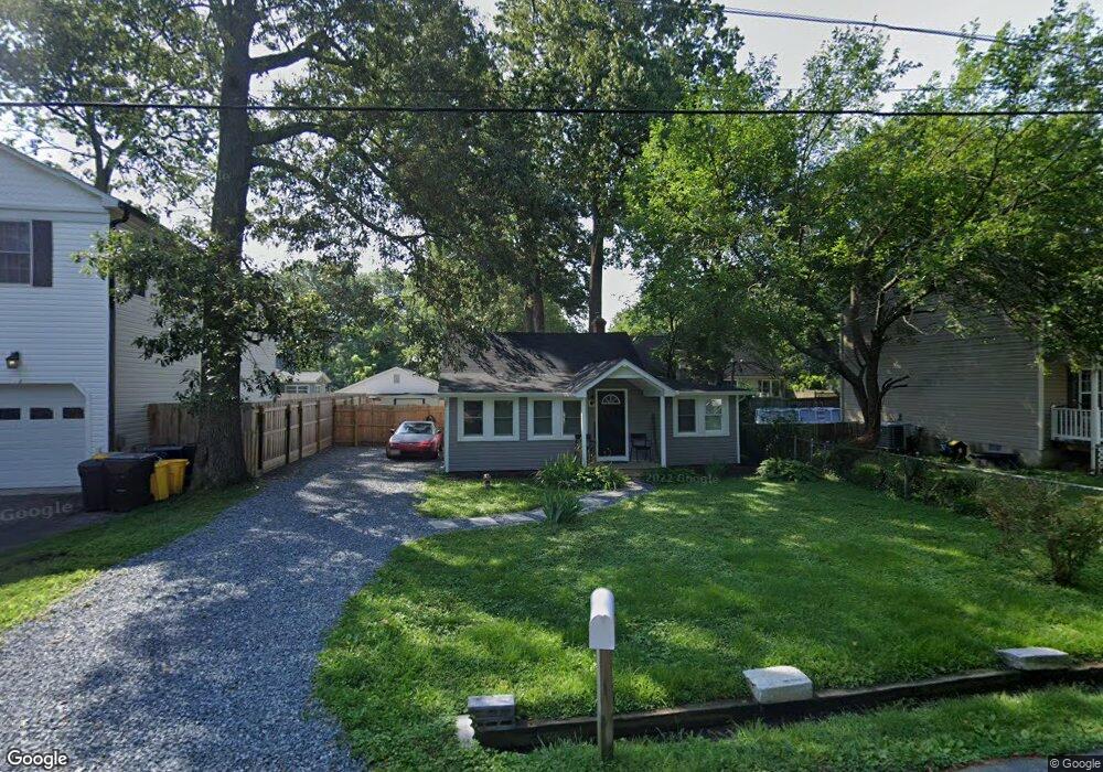
4945 Elm St Shady Side, MD 20764
Estimated Value: $322,947 - $364,000
2
Beds
1
Bath
960
Sq Ft
$353/Sq Ft
Est. Value
About This Home
This home is located at 4945 Elm St, Shady Side, MD 20764 and is currently estimated at $339,237, approximately $353 per square foot. 4945 Elm St is a home located in Anne Arundel County with nearby schools including Shady Side Elementary School, Southern Middle School, and Southern High School.
Ownership History
Date
Name
Owned For
Owner Type
Purchase Details
Closed on
Jul 22, 2021
Sold by
Cronin Martin J and Granahan Carol C
Bought by
Sendaydiego Devin C
Current Estimated Value
Home Financials for this Owner
Home Financials are based on the most recent Mortgage that was taken out on this home.
Original Mortgage
$247,000
Interest Rate
3.01%
Mortgage Type
New Conventional
Purchase Details
Closed on
Feb 3, 1993
Sold by
Cameron Bonnie J
Bought by
Quinn Paul C
Home Financials for this Owner
Home Financials are based on the most recent Mortgage that was taken out on this home.
Original Mortgage
$70,500
Interest Rate
7.86%
Purchase Details
Closed on
Oct 27, 1989
Sold by
Teeters David
Bought by
Cameron Bonnie J
Home Financials for this Owner
Home Financials are based on the most recent Mortgage that was taken out on this home.
Original Mortgage
$70,000
Interest Rate
9.82%
Create a Home Valuation Report for This Property
The Home Valuation Report is an in-depth analysis detailing your home's value as well as a comparison with similar homes in the area
Home Values in the Area
Average Home Value in this Area
Purchase History
| Date | Buyer | Sale Price | Title Company |
|---|---|---|---|
| Sendaydiego Devin C | $260,000 | Boston National Ttl Agcy Llc | |
| Quinn Paul C | $90,500 | -- | |
| Cameron Bonnie J | $70,000 | -- |
Source: Public Records
Mortgage History
| Date | Status | Borrower | Loan Amount |
|---|---|---|---|
| Previous Owner | Sendaydiego Devin C | $247,000 | |
| Previous Owner | Quinn Paul C | $70,500 | |
| Previous Owner | Cameron Bonnie J | $70,000 |
Source: Public Records
Tax History
| Year | Tax Paid | Tax Assessment Tax Assessment Total Assessment is a certain percentage of the fair market value that is determined by local assessors to be the total taxable value of land and additions on the property. | Land | Improvement |
|---|---|---|---|---|
| 2025 | $2,838 | $240,633 | -- | -- |
| 2024 | $2,838 | $218,067 | $0 | $0 |
| 2023 | $2,744 | $195,500 | $131,700 | $63,800 |
| 2022 | $2,587 | $193,500 | $0 | $0 |
| 2020 | $2,484 | $189,500 | $131,700 | $57,800 |
| 2019 | $2,385 | $179,867 | $0 | $0 |
| 2018 | $132 | $170,233 | $0 | $0 |
| 2017 | $2,095 | $160,600 | $0 | $0 |
| 2016 | $132 | $157,933 | $0 | $0 |
| 2015 | $132 | $155,267 | $0 | $0 |
| 2014 | -- | $152,600 | $0 | $0 |
Source: Public Records
Map
Nearby Homes
- 4951 Dogwood St
- 4908 Aspen St
- 1302 Spruce St
- 1330 Jordan Dr
- 1225 Juniper St
- 1241 Steamboat Rd
- 1419 Shady Rest Rd
- 1209 Johnson Dr
- 1161 Steamboat Rd
- 4907 Quince St
- 1451 Shady Rest Rd
- 4846 Woods Wharf Rd
- 0 Shady Side Rd Unit MDAA2113156
- 0 Shady Side Rd Unit MDAA2113166
- 1462 Snug Harbor Rd
- 1428 Haile Pkwy
- 1408 & 1410 Haile Pkwy
- 1436 Haile Pkwy
- 1340 E West Shady Side Rd
- 5218 Nick Rd
Your Personal Tour Guide
Ask me questions while you tour the home.