4945 Leeshore Ln Fernandina Beach, FL 32034
Estimated Value: $1,877,000 - $2,214,000
4
Beds
4
Baths
4,969
Sq Ft
$420/Sq Ft
Est. Value
About This Home
This home is located at 4945 Leeshore Ln, Fernandina Beach, FL 32034 and is currently estimated at $2,086,414, approximately $419 per square foot. 4945 Leeshore Ln is a home located in Nassau County with nearby schools including Southside Elementary School, Emma Love Hardee Elementary School, and Fernandina Beach Middle School.
Ownership History
Date
Name
Owned For
Owner Type
Purchase Details
Closed on
Oct 16, 2009
Sold by
Whitfield Daniel M and Whitfield Robin R
Bought by
Snyder Edward Steven and Snyder Lizbeth Ann
Current Estimated Value
Purchase Details
Closed on
May 31, 2002
Sold by
Kuitems Frank D
Bought by
Whitfield Daniel M and Whitfield Robin R
Home Financials for this Owner
Home Financials are based on the most recent Mortgage that was taken out on this home.
Original Mortgage
$343,200
Interest Rate
6.85%
Create a Home Valuation Report for This Property
The Home Valuation Report is an in-depth analysis detailing your home's value as well as a comparison with similar homes in the area
Home Values in the Area
Average Home Value in this Area
Purchase History
| Date | Buyer | Sale Price | Title Company |
|---|---|---|---|
| Snyder Edward Steven | $1,750,000 | Attorney | |
| Whitfield Daniel M | $429,000 | -- |
Source: Public Records
Mortgage History
| Date | Status | Borrower | Loan Amount |
|---|---|---|---|
| Previous Owner | Whitfield Daniel M | $343,200 |
Source: Public Records
Tax History Compared to Growth
Tax History
| Year | Tax Paid | Tax Assessment Tax Assessment Total Assessment is a certain percentage of the fair market value that is determined by local assessors to be the total taxable value of land and additions on the property. | Land | Improvement |
|---|---|---|---|---|
| 2024 | $17,348 | $1,146,169 | -- | -- |
| 2023 | $17,348 | $1,112,785 | $0 | $0 |
| 2022 | $15,857 | $1,080,374 | $0 | $0 |
| 2021 | $16,085 | $1,048,907 | $0 | $0 |
| 2020 | $16,088 | $1,034,425 | $0 | $0 |
| 2019 | $15,907 | $1,011,168 | $0 | $0 |
| 2018 | $15,787 | $992,314 | $0 | $0 |
| 2017 | $14,353 | $971,904 | $0 | $0 |
| 2016 | $14,250 | $951,914 | $0 | $0 |
| 2015 | $14,388 | $945,297 | $0 | $0 |
| 2014 | $14,346 | $937,795 | $0 | $0 |
Source: Public Records
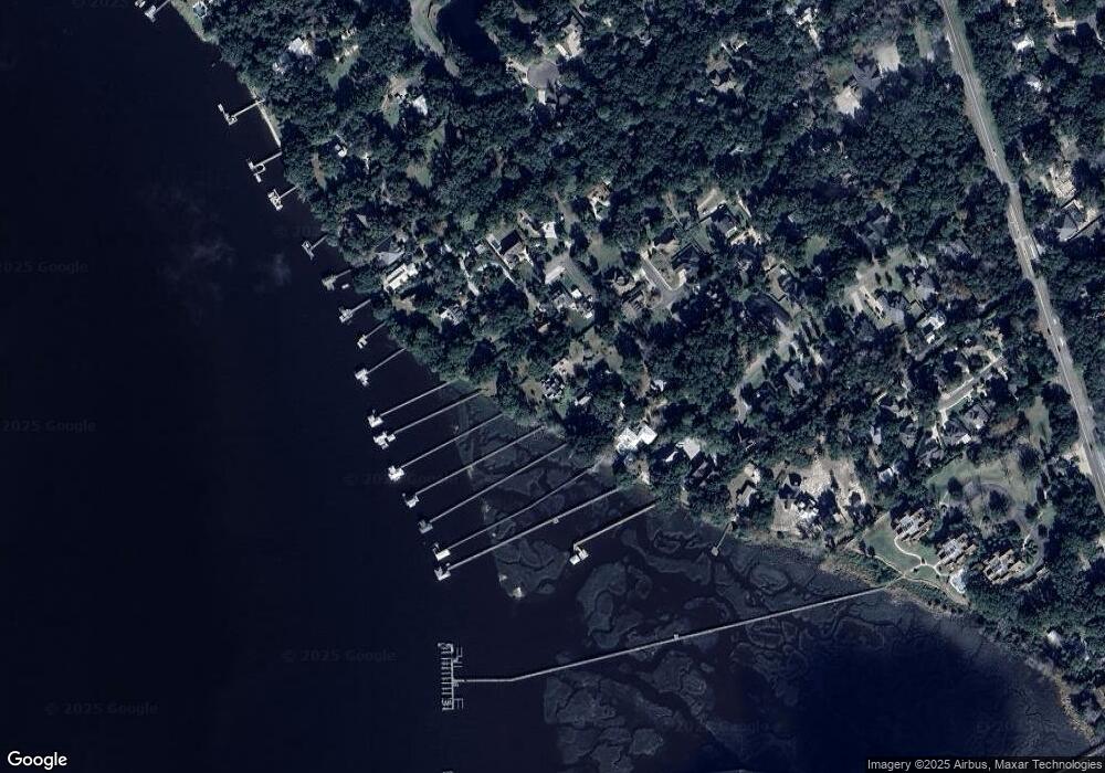
Map
Nearby Homes
- 1225 Forrest Dr
- 5025 First Coast Hwy Unit 202B
- 5023 First Coast Hwy Unit 201B
- 9550 Spring Blossom Ln
- 1416 Plantation Oaks Ln
- 1412 Plantation Oaks Terrace
- 95032 Spring Tide Ln
- 5063 First Coast Hwy Unit 101D
- 95068 Spring Tide Ln
- 1381 Forrest Dr
- 5065 1st Coast Hwy Unit 102D
- 5073 1st Coast Hwy Unit 302D
- 4746 Gulf Stream Ct
- 4746 Gulf Stream Ct Unit 11
- 4734 Gulf Stream Ct Unit 9
- 4822 Westwind Ct Unit 51
- 4827 Saint Marc Ct
- 96191 Sylvester Dr
- 1631 Plantation Oaks Ln
- 96119 Sylvester Dr
- 4935 Leeshore Ln
- 1224 Manucy Rd
- 1208 Manucy Rd
- 1276 Quattlefield Ln
- 1216 Manucy Rd
- 1268 Quattlefield Ln
- 1277 Quattlefield Ln
- 95013 Manucy Pointe Dr
- 1278 Quattlefield Ln
- 1205 Manucy Rd
- 95029 Manucy Pointe Dr
- 1282 Quattlefield Ln
- 1217 Manucy Rd
- 95000 Manucy Pointe Dr
- 1209 Manucy Rd
- 1 Manucy Pointe Dr
- 4925 Suarez Bluff Rd
- 95008 Manucy Pointe Dr
- 1284 Quattlefield Ln
- 95024 Manucy Pointe Dr