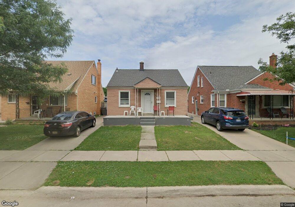
4945 Palmer St Dearborn, MI 48126
Henry Ford-Fairlane NeighborhoodEstimated Value: $148,323 - $185,000
2
Beds
2
Baths
672
Sq Ft
$248/Sq Ft
Est. Value
About This Home
This home is located at 4945 Palmer St, Dearborn, MI 48126 and is currently estimated at $166,831, approximately $248 per square foot. 4945 Palmer St is a home located in Wayne County with nearby schools including Henry Ford Elementary School, Woodworth Middle School, and Fordson High School.
Ownership History
Date
Name
Owned For
Owner Type
Purchase Details
Closed on
Aug 20, 2014
Sold by
Saleh Fahd M
Bought by
Alqaatabi Arwa Ali
Current Estimated Value
Purchase Details
Closed on
May 23, 2013
Sold by
Al Dhaibani Ebrahim Mohamed Hussein
Bought by
Saleh Fahd Muthana
Purchase Details
Closed on
Oct 15, 2010
Sold by
Ali Al Qaatabi Abdulhafidh Ali Ahmed and Ali Al Qaatabi Arwa
Bought by
Aldhalbani Ebrahim
Purchase Details
Closed on
Mar 9, 2006
Sold by
Davis Joseph H
Bought by
Al Qaatabi Abdulhafidh Ali Ahmed
Create a Home Valuation Report for This Property
The Home Valuation Report is an in-depth analysis detailing your home's value as well as a comparison with similar homes in the area
Home Values in the Area
Average Home Value in this Area
Purchase History
| Date | Buyer | Sale Price | Title Company |
|---|---|---|---|
| Alqaatabi Arwa Ali | $43,000 | None Available | |
| Saleh Fahd Muthana | $20,000 | None Available | |
| Aldhalbani Ebrahim | $25,000 | Greco | |
| Al Qaatabi Abdulhafidh Ali Ahmed | $80,000 | Great Lakes Title Of Mi |
Source: Public Records
Tax History Compared to Growth
Tax History
| Year | Tax Paid | Tax Assessment Tax Assessment Total Assessment is a certain percentage of the fair market value that is determined by local assessors to be the total taxable value of land and additions on the property. | Land | Improvement |
|---|---|---|---|---|
| 2025 | $1,614 | $75,400 | $0 | $0 |
| 2024 | $1,614 | $63,200 | $0 | $0 |
| 2023 | $1,528 | $47,200 | $0 | $0 |
| 2022 | $1,719 | $46,900 | $0 | $0 |
| 2021 | $1,997 | $44,300 | $0 | $0 |
| 2019 | $1,977 | $34,500 | $0 | $0 |
| 2018 | $1,678 | $31,200 | $0 | $0 |
| 2017 | $480 | $30,300 | $0 | $0 |
| 2016 | $1,567 | $30,000 | $0 | $0 |
| 2015 | $3,245 | $32,450 | $0 | $0 |
| 2013 | $2,865 | $28,650 | $0 | $0 |
| 2011 | -- | $30,150 | $0 | $0 |
Source: Public Records
Map
Nearby Homes
- 4886 Rosalie St
- 5061 Curtis St
- 4901 Rosalie St
- 5 Bradford Ct Unit 31
- 6 Bradford Ct Unit 24
- 5000 Ternes St
- 4636 Ternes St
- 4250 Seymour St
- 5401 Orchard Ave
- 5515 Ternes St
- 4400 Lapham St
- 4964 Kenilworth St
- 5430 Kendal St
- 5152 Kenilworth St
- 6019 Payne Ave
- 5444 Kenilworth St
- 3939 Charles St
- 14511 Lanson Ave
- 5281 Middlesex St
- 6200 Payne Ave