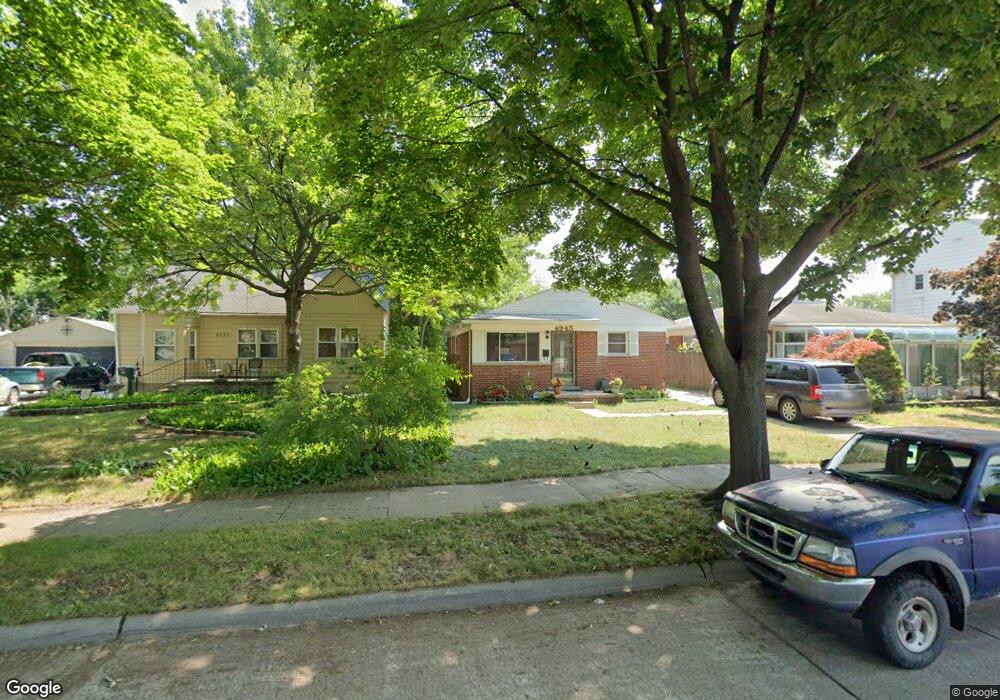
4945 Westpoint St Dearborn Heights, MI 48125
Estimated Value: $153,000 - $171,403
3
Beds
1
Bath
882
Sq Ft
$182/Sq Ft
Est. Value
About This Home
This home is located at 4945 Westpoint St, Dearborn Heights, MI 48125 and is currently estimated at $160,851, approximately $182 per square foot. 4945 Westpoint St is a home located in Wayne County with nearby schools including Polk Elementary School, Bedford School, and Pardee School.
Ownership History
Date
Name
Owned For
Owner Type
Purchase Details
Closed on
Feb 10, 2017
Sold by
Garrison Perla
Bought by
Garrison Perla
Current Estimated Value
Purchase Details
Closed on
Dec 10, 2010
Sold by
Wells Fargo Bank National Association
Bought by
Garrison Perla
Purchase Details
Closed on
Jan 13, 2010
Sold by
Greck John C E and Greck Rebecca
Bought by
Wells Fargo Bank National Association
Create a Home Valuation Report for This Property
The Home Valuation Report is an in-depth analysis detailing your home's value as well as a comparison with similar homes in the area
Home Values in the Area
Average Home Value in this Area
Purchase History
| Date | Buyer | Sale Price | Title Company |
|---|---|---|---|
| Garrison Perla | -- | None Available | |
| Garrison Perla | $29,000 | None Available | |
| Wells Fargo Bank National Association | $120,707 | None Available |
Source: Public Records
Tax History Compared to Growth
Tax History
| Year | Tax Paid | Tax Assessment Tax Assessment Total Assessment is a certain percentage of the fair market value that is determined by local assessors to be the total taxable value of land and additions on the property. | Land | Improvement |
|---|---|---|---|---|
| 2025 | $1,300 | $79,200 | $0 | $0 |
| 2024 | $1,300 | $72,400 | $0 | $0 |
| 2023 | $1,228 | $62,400 | $0 | $0 |
| 2022 | $1,707 | $54,000 | $0 | $0 |
| 2021 | $1,711 | $48,200 | $0 | $0 |
| 2020 | $1,684 | $45,300 | $0 | $0 |
| 2019 | $1,656 | $39,900 | $0 | $0 |
| 2018 | $1,113 | $35,000 | $0 | $0 |
| 2017 | $1,005 | $31,800 | $0 | $0 |
| 2016 | $2,095 | $30,000 | $0 | $0 |
| 2015 | $2,820 | $28,200 | $0 | $0 |
| 2013 | $2,940 | $30,100 | $0 | $0 |
| 2010 | -- | $36,600 | $0 | $0 |
Source: Public Records
Map
Nearby Homes
- 4901 Cornell St
- 24117 Eton Ave
- 24035 Currier St
- 4665 Syracuse St
- 4489 Westpoint St
- 4506 Syracuse St
- 24339 Eton Ave
- 24360 Pennie St
- 5689 Cornell St
- 4474 Syracuse St
- 5671 Syracuse St
- 24443 Powers Ave
- 4193 Cornell St
- 4449 Academy St
- 24426 Lehigh St
- 24409 Stanford St
- 5908 Pine St
- 23214 S Brookside Dr
- 5954 Pine St
- 24727 Hopkins St
- 4971 Westpoint St
- 5079 Westpoint St
- 4927 Westpoint St
- 5117 Westpoint St
- 0 Pennie St
- 4962 Cornell St
- 4946 Cornell St
- 4990 Cornell St
- 4932 Cornell St
- 5106 Cornell St
- 4903 Westpoint St
- 4944 Westpoint St
- 4970 Westpoint St
- 4996 Westpoint St
- 4928 Westpoint St
- 5120 Cornell St
- 5106 Westpoint St
- 4918 Westpoint St
- 5121 Westpoint St
- 4910 Cornell St