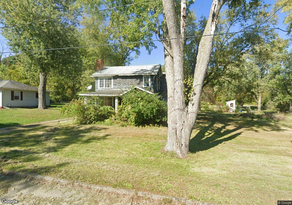
4946 Bacon Rd Jackson, MI 49201
Estimated Value: $181,000 - $292,000
4
Beds
2
Baths
1,880
Sq Ft
$122/Sq Ft
Est. Value
About This Home
This home is located at 4946 Bacon Rd, Jackson, MI 49201 and is currently estimated at $228,805, approximately $121 per square foot. 4946 Bacon Rd is a home located in Jackson County with nearby schools including Western High School, Paragon Charter Academy, and Da Vinci Institute High School.
Ownership History
Date
Name
Owned For
Owner Type
Purchase Details
Closed on
Dec 3, 2002
Sold by
Ort Muriel J
Bought by
Welter Michael D and Welter Tanna
Current Estimated Value
Home Financials for this Owner
Home Financials are based on the most recent Mortgage that was taken out on this home.
Original Mortgage
$95,920
Outstanding Balance
$47,351
Interest Rate
8.35%
Mortgage Type
Purchase Money Mortgage
Estimated Equity
$181,454
Purchase Details
Closed on
Nov 1, 1996
Sold by
Sprague Viola M
Bought by
Ort Muriel J
Create a Home Valuation Report for This Property
The Home Valuation Report is an in-depth analysis detailing your home's value as well as a comparison with similar homes in the area
Purchase History
| Date | Buyer | Sale Price | Title Company |
|---|---|---|---|
| Welter Michael D | $119,900 | -- | |
| Ort Muriel J | $27,500 | -- |
Source: Public Records
Mortgage History
| Date | Status | Borrower | Loan Amount |
|---|---|---|---|
| Open | Welter Michael D | $95,920 |
Source: Public Records
Tax History
| Year | Tax Paid | Tax Assessment Tax Assessment Total Assessment is a certain percentage of the fair market value that is determined by local assessors to be the total taxable value of land and additions on the property. | Land | Improvement |
|---|---|---|---|---|
| 2025 | $2,168 | $68,700 | $0 | $0 |
| 2024 | $17 | $63,100 | $0 | $0 |
| 2023 | $930 | $54,900 | $0 | $0 |
| 2022 | $1,289 | $50,900 | $0 | $0 |
| 2021 | $1,267 | $47,200 | $0 | $0 |
| 2020 | $1,252 | $41,500 | $0 | $0 |
| 2019 | $1,218 | $38,100 | $0 | $0 |
| 2018 | $1,190 | $37,400 | $0 | $0 |
| 2017 | $1,123 | $38,600 | $0 | $0 |
| 2016 | $1,071 | $38,561 | $38,561 | $0 |
| 2015 | $1,071 | $37,714 | $37,714 | $0 |
| 2014 | $1,071 | $35,384 | $35,384 | $0 |
| 2013 | -- | $35,384 | $35,384 | $0 |
Source: Public Records
Map
Nearby Homes
- 0 Cummings Rd
- 208 Glasgow Rd
- 4116 Mulberry Cir Unit 31
- 4070 Magnolia Pkwy
- 2924 Sheridan Cirlce Unit 57
- 4009 Magnolia Pkwy
- 800 Obrien Rd
- 4894 Indian Creek Dr
- 4880 Indian Creek Dr Unit 26
- 4920 Slayton Rd
- 3844 Westchester Blvd
- 28 Engelhardt Strasse
- 1956 Trinity Ln
- 0 Evelyn St
- 242 Kenneth St
- 4835 Staten Dr
- 4048 Knightsbridge Ln
- 4650 Suffolk Ln Unit 31
- 4540 Westbrook Dr Unit 45
- 732 W Barrington Cir Unit 116
- 4950 Bacon Rd
- 4936 Bacon Rd
- 5010 Bacon Rd
- 214 Blackman Rd
- 5175 Cummings Rd
- 5005 Bacon Rd
- V/L Cummings Rd
- VL Cummings Rd
- 5022 Bacon Rd
- 4910 Bacon Rd
- 250 Blackman Rd
- 5195 Cummings Rd
- 306 Blackman Rd
- 5025 Bacon Rd
- 312 Blackman Rd
- 130 Blackman Rd
- 4911 Bacon Rd
- 5040 Bacon Rd
- 211 Blackman Rd
- 211 Blackman Rd
Your Personal Tour Guide
Ask me questions while you tour the home.