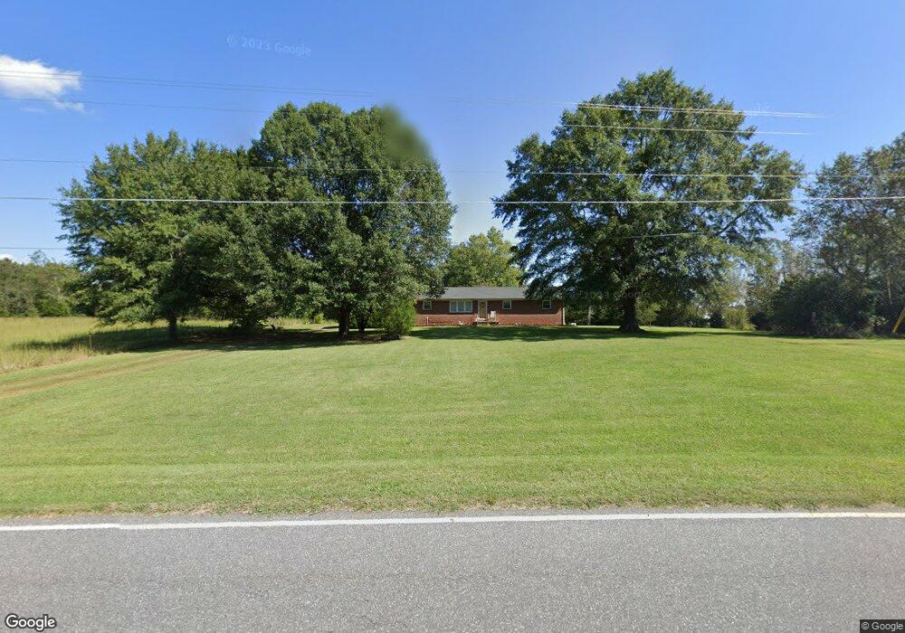
4948 Rifle Range Rd Conover, NC 28613
Estimated Value: $272,969 - $311,000
3
Beds
1
Bath
1,485
Sq Ft
$199/Sq Ft
Est. Value
About This Home
This home is located at 4948 Rifle Range Rd, Conover, NC 28613 and is currently estimated at $295,742, approximately $199 per square foot. 4948 Rifle Range Rd is a home located in Catawba County with nearby schools including Lyle Creek Elementary School, River Bend Middle School, and Bunker Hill High School.
Ownership History
Date
Name
Owned For
Owner Type
Purchase Details
Closed on
May 2, 2024
Sold by
Carroll Frances L and Carroll Frances
Bought by
Coulter Stephen Kent
Current Estimated Value
Home Financials for this Owner
Home Financials are based on the most recent Mortgage that was taken out on this home.
Original Mortgage
$266,750
Interest Rate
6.87%
Mortgage Type
New Conventional
Create a Home Valuation Report for This Property
The Home Valuation Report is an in-depth analysis detailing your home's value as well as a comparison with similar homes in the area
Home Values in the Area
Average Home Value in this Area
Purchase History
| Date | Buyer | Sale Price | Title Company |
|---|---|---|---|
| Coulter Stephen Kent | $275,000 | None Listed On Document |
Source: Public Records
Mortgage History
| Date | Status | Borrower | Loan Amount |
|---|---|---|---|
| Closed | Coulter Stephen Kent | $266,750 |
Source: Public Records
Tax History
| Year | Tax Paid | Tax Assessment Tax Assessment Total Assessment is a certain percentage of the fair market value that is determined by local assessors to be the total taxable value of land and additions on the property. | Land | Improvement |
|---|---|---|---|---|
| 2025 | $1,146 | $218,900 | $27,500 | $191,400 |
| 2024 | $1,146 | $219,300 | $27,800 | $191,500 |
| 2023 | $590 | $115,700 | $27,800 | $87,900 |
| 2022 | $454 | $115,700 | $27,800 | $87,900 |
| 2021 | $454 | $115,700 | $27,800 | $87,900 |
| 2020 | $454 | $115,700 | $27,800 | $87,900 |
| 2019 | $454 | $65,350 | $0 | $0 |
| 2018 | $431 | $109,100 | $27,500 | $81,600 |
| 2017 | $431 | $0 | $0 | $0 |
| 2016 | $431 | $0 | $0 | $0 |
| 2015 | $463 | $109,100 | $27,500 | $81,600 |
| 2014 | $463 | $136,100 | $30,800 | $105,300 |
Source: Public Records
Map
Nearby Homes
- 5164 Lavern St Unit 1
- 4484 Springs Rd
- 5069 W Piedmont Cir
- 4531 Springs Rd
- 5309 Hall St
- 1158 Sunset Ct
- 1252 Houston Mill Rd
- 5217 Canterbury Dr
- 1113 Pecan St
- 4874 Stone Dr Unit 125
- 4687 Ransom Dr
- 5505 Creek Point Dr
- 1371 Millrace Dr
- 3951 Springs Rd
- 4932 Sandstone Dr
- 4829 County Home Rd
- 3785 Pinecrest Dr NE Unit 155
- 3779 Pinecrest Dr NE Unit 154
- 4029 Pinecrest Dr NE Unit 166
- 5670 Quailwood Dr
- 4944 Rifle Range Rd
- 4840 N Nc 16 Hwy
- 4798 N Nc 16 Hwy
- 4824 N Nc 16 Hwy
- 4812 N Nc 16 Hwy
- 4778 N Nc 16 Hwy
- 4850 N Nc 16 Hwy
- 4764 N Nc 16 Hwy
- 4926 Rifle Range Rd
- 4977 Rifle Range Rd
- 4915 Rifle Range Rd
- 4908 Rifle Range Rd
- 4993 Rifle Range Rd
- 4896 Rifle Range Rd
- 5013 Rifle Range Rd
- 4886 Rifle Range Rd
- 4964 Tumbling Creek Rd
- 4952 Tumbling Creek Rd
- 4874 Rifle Range Rd
- 4944 Tumbling Creek Rd
Your Personal Tour Guide
Ask me questions while you tour the home.