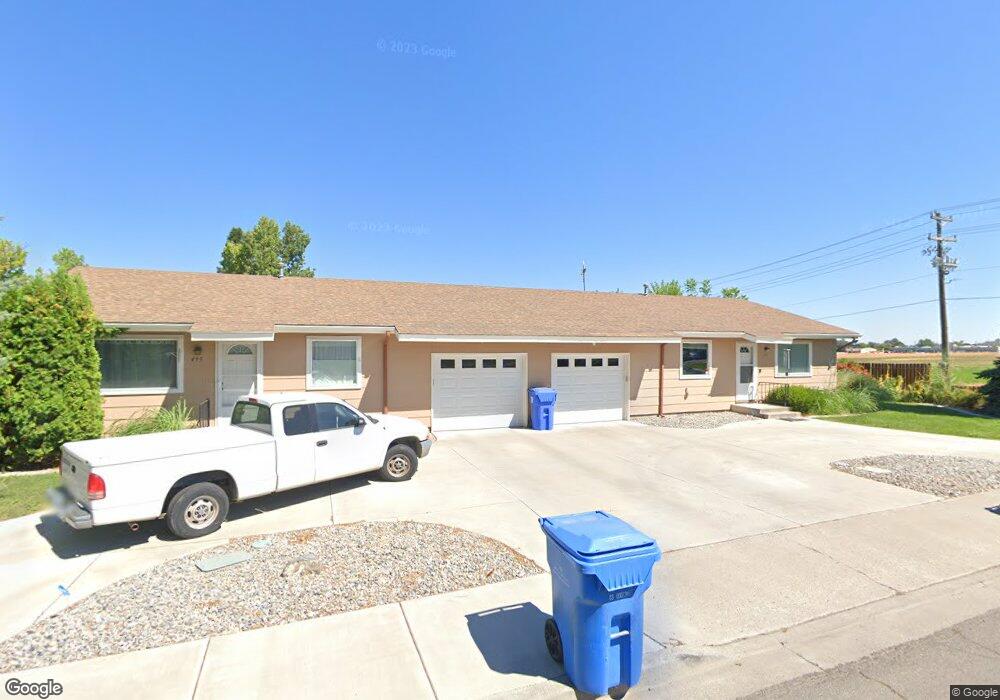
495 & 497 Meadows Ln Twin Falls, ID 83301
Estimated Value: $342,000 - $372,000
4
Beds
3
Baths
2,096
Sq Ft
$168/Sq Ft
Est. Value
About This Home
This home is located at 495 & 497 Meadows Ln, Twin Falls, ID 83301 and is currently estimated at $352,914, approximately $168 per square foot. 495 & 497 Meadows Ln is a home located in Twin Falls County with nearby schools including Harrison Elementary School, Robert Stuart Junior High School, and Canyon Ridge High School.
Ownership History
Date
Name
Owned For
Owner Type
Purchase Details
Closed on
Jun 7, 2017
Sold by
Baker Noel G and Baker Janice M
Bought by
The John Charles Beath And Corinne Koopw and Beath John Charles
Current Estimated Value
Home Financials for this Owner
Home Financials are based on the most recent Mortgage that was taken out on this home.
Original Mortgage
$152,750
Outstanding Balance
$126,751
Interest Rate
4.02%
Mortgage Type
New Conventional
Estimated Equity
$226,163
Purchase Details
Closed on
Dec 26, 2013
Sold by
Baker Noel G and Baker Janice M
Bought by
Doyea Ann and Newhouse Susan
Create a Home Valuation Report for This Property
The Home Valuation Report is an in-depth analysis detailing your home's value as well as a comparison with similar homes in the area
Purchase History
| Date | Buyer | Sale Price | Title Company |
|---|---|---|---|
| The John Charles Beath And Corinne Koopw | -- | Titleone Burley | |
| Doyea Ann | -- | None Available |
Source: Public Records
Mortgage History
| Date | Status | Borrower | Loan Amount |
|---|---|---|---|
| Open | The John Charles Beath And Corinne Koopw | $152,750 |
Source: Public Records
Tax History
| Year | Tax Paid | Tax Assessment Tax Assessment Total Assessment is a certain percentage of the fair market value that is determined by local assessors to be the total taxable value of land and additions on the property. | Land | Improvement |
|---|---|---|---|---|
| 2025 | $3,074 | $286,359 | $74,560 | $211,799 |
| 2024 | $3,076 | $286,419 | $74,560 | $211,859 |
| 2023 | $3,266 | $312,352 | $74,560 | $237,792 |
| 2022 | $3,926 | $342,825 | $65,492 | $277,333 |
| 2021 | $4,026 | $267,436 | $55,614 | $211,822 |
| 2020 | $3,377 | $221,344 | $48,036 | $173,308 |
| 2019 | $3,819 | $213,791 | $43,435 | $170,356 |
| 2018 | $3,550 | $187,896 | $29,769 | $158,127 |
| 2017 | $3,137 | $167,366 | $29,769 | $137,597 |
| 2016 | $2,925 | $145,940 | $0 | $0 |
| 2015 | $2,910 | $149,223 | $0 | $0 |
| 2012 | -- | $132,353 | $0 | $0 |
Source: Public Records
Map
Nearby Homes
- 745 Newport St
- 661 Jackson St
- 518 Jackson St
- 403 Filer Ave
- 198 Meadows Ln
- 439 Van Buren St
- 820 Meadows Dr
- 441 Harrison St
- 419 Van Buren St
- 744 Northview Dr
- 481 Borah Ave
- 467 & 471 Borah Ave
- 347 Polk St
- 430 Pierce St
- 319 Jackson St
- 586 Bolton St
- 344 Fillmore St
- 414 Heyburn Ave
- 331 Fillmore St
- 388 Heyburn Ave
- 497 Meadows Ln
- 739 Harrison St
- 479 Meadows Ln
- 479 Meadows Ln
- 482 Meadows Ln
- 496 Meadows Ln
- 753 Harrison St
- 740 Newport St
- 753 & 755 Harrison
- 756 Newport St
- 468 Meadows Ln
- 457 Meadows Ln
- 494 Altair Dr
- 496 Altair Dr
- 766 Newport St
- 759 Newport St
- 452 Meadows Ln
- 443 Meadows Ln
- 495 Altair Dr
- 444 Meadows Ln
Your Personal Tour Guide
Ask me questions while you tour the home.