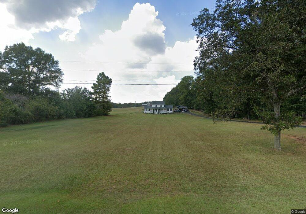
495 Buffalo Creek Rd Carrollton, GA 30117
Estimated Value: $382,000 - $449,000
4
Beds
3
Baths
2,781
Sq Ft
$151/Sq Ft
Est. Value
About This Home
This home is located at 495 Buffalo Creek Rd, Carrollton, GA 30117 and is currently estimated at $420,969, approximately $151 per square foot. 495 Buffalo Creek Rd is a home located in Carroll County with nearby schools including Central Elementary School, Central Middle School, and Central High School.
Ownership History
Date
Name
Owned For
Owner Type
Purchase Details
Closed on
Jul 1, 2022
Sold by
Puryear Kenneth Suc
Bought by
Everett Madison
Current Estimated Value
Purchase Details
Closed on
Nov 9, 2020
Sold by
Kemp Sherry
Bought by
Holland Bronwyn Alicia and Bronwyn Alicia Holland Family
Purchase Details
Closed on
Nov 25, 2009
Sold by
North Randy J
Bought by
North Sherry W
Purchase Details
Closed on
Jun 19, 1998
Sold by
North Randy
Bought by
North Randy J
Purchase Details
Closed on
Apr 16, 1989
Bought by
North Randy
Create a Home Valuation Report for This Property
The Home Valuation Report is an in-depth analysis detailing your home's value as well as a comparison with similar homes in the area
Home Values in the Area
Average Home Value in this Area
Purchase History
| Date | Buyer | Sale Price | Title Company |
|---|---|---|---|
| Everett Madison | -- | -- | |
| Holland Bronwyn Alicia | $259,000 | -- | |
| North Sherry W | -- | -- | |
| North Randy J | -- | -- | |
| North Randy | -- | -- |
Source: Public Records
Tax History Compared to Growth
Tax History
| Year | Tax Paid | Tax Assessment Tax Assessment Total Assessment is a certain percentage of the fair market value that is determined by local assessors to be the total taxable value of land and additions on the property. | Land | Improvement |
|---|---|---|---|---|
| 2024 | $3,380 | $149,395 | $13,890 | $135,505 |
| 2023 | $3,380 | $134,366 | $11,112 | $123,254 |
| 2022 | $2,609 | $104,038 | $7,408 | $96,630 |
| 2021 | $2,268 | $88,452 | $5,927 | $82,525 |
| 2020 | $1,695 | $78,385 | $5,388 | $72,997 |
| 2019 | $1,568 | $70,774 | $5,388 | $65,386 |
| 2018 | $1,385 | $59,639 | $5,035 | $54,604 |
| 2017 | $1,389 | $59,639 | $5,035 | $54,604 |
| 2016 | $1,390 | $59,639 | $5,035 | $54,604 |
| 2015 | $1,295 | $50,295 | $7,622 | $42,674 |
| 2014 | $1,300 | $50,295 | $7,622 | $42,674 |
Source: Public Records
Map
Nearby Homes
- 533 Buffalo Creek Rd
- 0 Buffalo Creek Rd Unit 10624169
- 1585 Hays Mill Rd
- 2214 Hays Mill Rd
- 915 Oak Grove Rd
- 1250 Hays Mill Rd
- 105 Woodbine Dr
- 345 Piney Grove Rd
- 121 Carson Place
- 0 Bonner Rd Unit 10635754
- 400 Stripling Chapel Rd
- 2492 Oak Grove Church Rd
- 399 Old Camp Church Rd
- 116 Manor Way
- 108 Briarwood Dr
- 105 Plantation Walk
- 111 Vineyard Walk
- 477 Buffalo Creek Rd
- 503 Buffalo Creek Rd
- 435 Buffalo Creek Rd
- 373 Buffalo Creek Rd
- 541 Buffalo Creek Rd
- 442 Buffalo Creek Rd
- 556 Buffalo Creek Rd
- 398 Buffalo Creek Rd
- 370 Buffalo Creek Rd
- 580 Buffalo Creek Rd
- 410 Buffalo Creek Rd
- 271 Buffalo Creek Rd
- 600 Buffalo Creek Rd
- 520 Buffalo Creek Rd
- 623 Buffalo Creek Rd
- 583 Roy North Rd
- 493 Roy Rd N
- 527 Roy Rd N
- 527 Roy North Rd
- 616 Buffalo Creek Rd