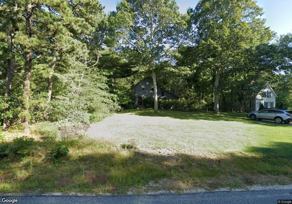
495 Center St Dennis Port, MA 02639
Dennis Port NeighborhoodEstimated Value: $574,000 - $652,258
3
Beds
3
Baths
1,505
Sq Ft
$406/Sq Ft
Est. Value
About This Home
This home is located at 495 Center St, Dennis Port, MA 02639 and is currently estimated at $611,565, approximately $406 per square foot. 495 Center St is a home located in Barnstable County with nearby schools including Dennis-Yarmouth Regional High School and St. Pius X. School.
Ownership History
Date
Name
Owned For
Owner Type
Purchase Details
Closed on
May 2, 1977
Bought by
Curry Dennis J and Curry Nancy J
Current Estimated Value
Create a Home Valuation Report for This Property
The Home Valuation Report is an in-depth analysis detailing your home's value as well as a comparison with similar homes in the area
Home Values in the Area
Average Home Value in this Area
Purchase History
| Date | Buyer | Sale Price | Title Company |
|---|---|---|---|
| Curry Dennis J | -- | -- |
Source: Public Records
Mortgage History
| Date | Status | Borrower | Loan Amount |
|---|---|---|---|
| Open | Curry Dennis J | $115,800 | |
| Closed | Curry Dennis J | $80,000 | |
| Closed | Curry Dennis J | $70,000 | |
| Closed | Curry Dennis J | $102,000 |
Source: Public Records
Tax History Compared to Growth
Tax History
| Year | Tax Paid | Tax Assessment Tax Assessment Total Assessment is a certain percentage of the fair market value that is determined by local assessors to be the total taxable value of land and additions on the property. | Land | Improvement |
|---|---|---|---|---|
| 2025 | $2,074 | $479,000 | $171,300 | $307,700 |
| 2024 | $2,170 | $494,400 | $174,400 | $320,000 |
| 2023 | $2,099 | $449,500 | $158,500 | $291,000 |
| 2022 | $2,105 | $375,900 | $158,700 | $217,200 |
| 2021 | $1,943 | $322,200 | $140,000 | $182,200 |
| 2020 | $1,851 | $303,500 | $140,000 | $163,500 |
| 2019 | $1,709 | $277,000 | $137,300 | $139,700 |
| 2018 | $1,601 | $252,500 | $130,700 | $121,800 |
| 2017 | $1,553 | $252,500 | $130,700 | $121,800 |
| 2016 | $1,612 | $246,900 | $145,200 | $101,700 |
| 2015 | $1,551 | $242,400 | $145,200 | $97,200 |
| 2014 | $1,398 | $220,100 | $116,200 | $103,900 |
Source: Public Records
Map
Nearby Homes
- 537 Depot St
- 360 Center St
- 116 Searsville Rd
- 171 Searsville Rd
- 11 Lane Rd
- 29 Highland St
- 20 Aunt Debbys Rd
- 24 Indian Trail
- 91 Depot Rd W
- 78 Upper County Rd Unit A&B
- 78 Upper County Rd
- 3 Jennifer Ln
- 31 Duck Pond Rd
- 37 Cyprus Rd
- 9 Country Ln
- 47 Telegraph Rd Unit 1
- 141 Division St
- 141 Division St
- 37 Cyprus Rd
- 401 Main St Unit 201