495 S State Route 201 Casstown, OH 45312
Estimated Value: $348,000 - $351,000
3
Beds
2
Baths
1,824
Sq Ft
$192/Sq Ft
Est. Value
About This Home
This home is located at 495 S State Route 201, Casstown, OH 45312 and is currently estimated at $349,564, approximately $191 per square foot. 495 S State Route 201 is a home located in Miami County with nearby schools including Miami East Elementary School, Miami East Junior High School, and Miami East High School.
Ownership History
Date
Name
Owned For
Owner Type
Purchase Details
Closed on
Jun 21, 2022
Sold by
Martin Jr Richard E and Martin Virginia A
Bought by
Miller Daniel W and Miller Amy E
Current Estimated Value
Purchase Details
Closed on
Apr 1, 1988
Bought by
Martin Richard E
Create a Home Valuation Report for This Property
The Home Valuation Report is an in-depth analysis detailing your home's value as well as a comparison with similar homes in the area
Home Values in the Area
Average Home Value in this Area
Purchase History
| Date | Buyer | Sale Price | Title Company |
|---|---|---|---|
| Miller Daniel W | $285,000 | None Listed On Document | |
| Martin Richard E | $83,900 | -- |
Source: Public Records
Tax History Compared to Growth
Tax History
| Year | Tax Paid | Tax Assessment Tax Assessment Total Assessment is a certain percentage of the fair market value that is determined by local assessors to be the total taxable value of land and additions on the property. | Land | Improvement |
|---|---|---|---|---|
| 2024 | $2,968 | $86,840 | $22,120 | $64,720 |
| 2023 | $2,827 | $86,840 | $22,120 | $64,720 |
| 2022 | $2,907 | $86,840 | $22,120 | $64,720 |
| 2021 | $2,362 | $66,780 | $17,010 | $49,770 |
| 2020 | $2,375 | $66,780 | $17,010 | $49,770 |
| 2019 | $2,416 | $66,780 | $17,010 | $49,770 |
| 2018 | $1,998 | $53,410 | $15,540 | $37,870 |
| 2017 | $1,977 | $53,410 | $15,540 | $37,870 |
| 2016 | $1,853 | $53,410 | $15,540 | $37,870 |
| 2015 | $1,887 | $51,350 | $14,950 | $36,400 |
| 2014 | $1,887 | $51,350 | $14,950 | $36,400 |
| 2013 | $1,898 | $51,350 | $14,950 | $36,400 |
Source: Public Records
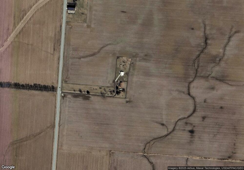
Map
Nearby Homes
- 910 S Alcony Conover Rd
- 910 S Alcony-Conover Rd
- 5782 N Addison New Carlisle Rd
- 6570 S Tipp Cowl Rd
- 12490 Stafford Rd
- 72 N Childrens Home Rd
- 10916 Ayres Pike
- 211 N Grant St
- 12 N Main St
- 107 N Main St
- 2656 Addison New Carlisle Rd
- 3430 Michael Dr
- 3410 Michael Dr
- 11298 Stafford Rd
- 7715 E New Carlisle Rd
- 2669 Quail Ridge Dr
- 5315 E State Route 571
- 4845 E Troy Urbana Rd
- 275 S State Route 201
- 205 S State Route 201
- 185 S State Route 201
- 7015 E State Route 41
- 105 S State Route 201
- 85 S State Route 201
- 7404 Lefevre Rd
- 45 S State Route 201
- 7140 Lefevre Rd
- 7080 Lefevre Rd
- 6900 Lefevre Rd
- 7390 Lefevre Rd
- 7165 E State Route 41
- 7430 Lefevre Rd
- 7596 Lefevre Rd
- 7480 Lefevre Rd
- 7020 E State Route 41
- 6949 Lefevre Rd
- 7557 E State Route 41
- 7510 Lefevre Rd