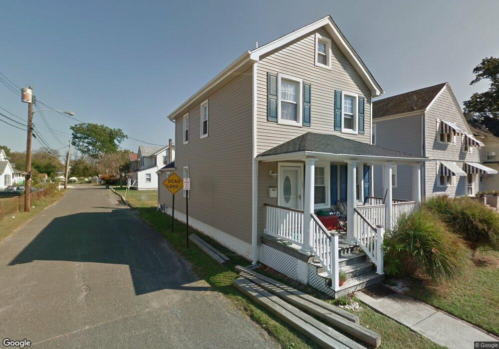
495 West St Long Branch, NJ 07740
Estimated Value: $626,000 - $704,000
3
Beds
2
Baths
1,380
Sq Ft
$477/Sq Ft
Est. Value
About This Home
This home is located at 495 West St, Long Branch, NJ 07740 and is currently estimated at $658,612, approximately $477 per square foot. 495 West St is a home located in Monmouth County with nearby schools including Long Branch High School and Holy Trinity School.
Ownership History
Date
Name
Owned For
Owner Type
Purchase Details
Closed on
Mar 12, 2009
Sold by
Okros Stephen R
Bought by
Baillie Steven
Current Estimated Value
Home Financials for this Owner
Home Financials are based on the most recent Mortgage that was taken out on this home.
Original Mortgage
$288,183
Outstanding Balance
$183,731
Interest Rate
5.18%
Mortgage Type
FHA
Estimated Equity
$474,881
Purchase Details
Closed on
Oct 23, 2008
Sold by
Okros Stephen R and Pucci Joseph
Bought by
Okros Stephen R
Purchase Details
Closed on
Jan 18, 2000
Sold by
Gilanyi Robert
Bought by
Mancuso Thomas and Mancuso Dana
Home Financials for this Owner
Home Financials are based on the most recent Mortgage that was taken out on this home.
Original Mortgage
$123,978
Interest Rate
7.91%
Mortgage Type
FHA
Create a Home Valuation Report for This Property
The Home Valuation Report is an in-depth analysis detailing your home's value as well as a comparison with similar homes in the area
Home Values in the Area
Average Home Value in this Area
Purchase History
| Date | Buyer | Sale Price | Title Company |
|---|---|---|---|
| Baillie Steven | $293,500 | None Available | |
| Okros Stephen R | -- | None Available | |
| Mancuso Thomas | $125,000 | -- |
Source: Public Records
Mortgage History
| Date | Status | Borrower | Loan Amount |
|---|---|---|---|
| Open | Baillie Steven | $288,183 | |
| Previous Owner | Mancuso Thomas | $123,978 |
Source: Public Records
Tax History Compared to Growth
Tax History
| Year | Tax Paid | Tax Assessment Tax Assessment Total Assessment is a certain percentage of the fair market value that is determined by local assessors to be the total taxable value of land and additions on the property. | Land | Improvement |
|---|---|---|---|---|
| 2025 | $8,849 | $684,900 | $472,600 | $212,300 |
| 2024 | $8,099 | $575,700 | $372,600 | $203,100 |
| 2023 | $8,099 | $521,500 | $327,600 | $193,900 |
| 2022 | $7,262 | $394,300 | $218,300 | $176,000 |
| 2021 | $7,262 | $362,900 | $198,300 | $164,600 |
| 2020 | $7,188 | $343,900 | $180,300 | $163,600 |
| 2019 | $6,712 | $319,300 | $163,300 | $156,000 |
| 2018 | $6,418 | $303,600 | $153,300 | $150,300 |
| 2017 | $6,094 | $295,700 | $148,300 | $147,400 |
| 2016 | $5,899 | $291,900 | $148,300 | $143,600 |
| 2015 | $4,354 | $195,500 | $93,500 | $102,000 |
| 2014 | $4,672 | $221,100 | $130,600 | $90,500 |
Source: Public Records
Map
Nearby Homes
- 9 Manahassett Park Dr
- 50 Valentine St Unit 27A
- 50 Valentine St Unit 22A
- 50 Valentine St Unit 12B
- 43 Valentine St
- 8 Ocean Ave
- 381 Long Branch Ave
- 17 Riviera Dr
- 16 Anderson St
- 154 Atlantic Ave
- 432 Ocean Blvd N Unit 506
- 432 Ocean Blvd N Unit 315
- 164 Airsdale Ave
- 165 Kingsley St
- 16 Shore Dr
- 172 Chelton Ave
- 138 Rosewood Ave
- 8 Mann Ct
- 323 Florence Ave
- 9 Woolley St