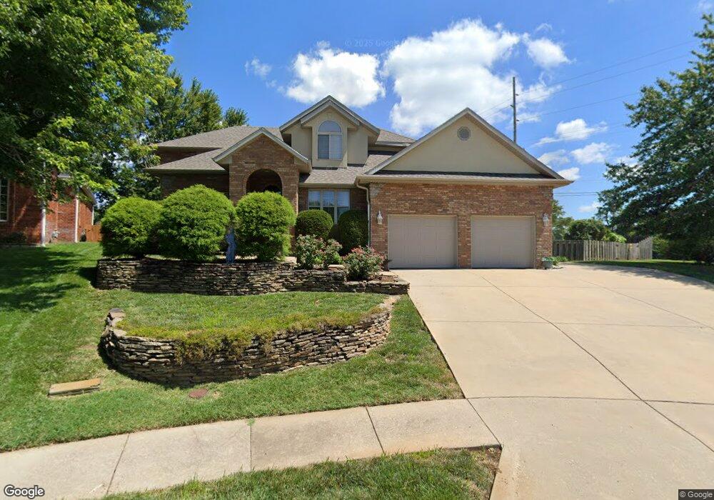
4950 S Clay Ct Springfield, MO 65810
Southside NeighborhoodEstimated Value: $408,000 - $482,000
4
Beds
3
Baths
2,854
Sq Ft
$156/Sq Ft
Est. Value
About This Home
This home is located at 4950 S Clay Ct, Springfield, MO 65810 and is currently estimated at $444,513, approximately $155 per square foot. 4950 S Clay Ct is a home located in Greene County with nearby schools including Walt Disney Elementary School, Cherokee Middle School, and Kickapoo High School.
Ownership History
Date
Name
Owned For
Owner Type
Purchase Details
Closed on
Mar 29, 2010
Sold by
Liberty Bank
Bought by
Mullin Richard and Wu Weili
Current Estimated Value
Home Financials for this Owner
Home Financials are based on the most recent Mortgage that was taken out on this home.
Original Mortgage
$193,500
Outstanding Balance
$128,878
Interest Rate
5%
Mortgage Type
New Conventional
Estimated Equity
$315,635
Purchase Details
Closed on
Dec 14, 2009
Sold by
Durbin Franklin and Durbin Hannelore I
Bought by
Liberty Bank
Create a Home Valuation Report for This Property
The Home Valuation Report is an in-depth analysis detailing your home's value as well as a comparison with similar homes in the area
Home Values in the Area
Average Home Value in this Area
Purchase History
| Date | Buyer | Sale Price | Title Company |
|---|---|---|---|
| Mullin Richard | -- | None Available | |
| Liberty Bank | -- | None Available |
Source: Public Records
Mortgage History
| Date | Status | Borrower | Loan Amount |
|---|---|---|---|
| Open | Mullin Richard | $193,500 |
Source: Public Records
Tax History
| Year | Tax Paid | Tax Assessment Tax Assessment Total Assessment is a certain percentage of the fair market value that is determined by local assessors to be the total taxable value of land and additions on the property. | Land | Improvement |
|---|---|---|---|---|
| 2025 | $2,699 | $54,170 | $5,360 | $48,810 |
| 2024 | $2,570 | $47,900 | $4,860 | $43,040 |
| 2023 | $2,555 | $47,900 | $4,860 | $43,040 |
| 2022 | $2,571 | $47,080 | $4,860 | $42,220 |
| 2021 | $2,571 | $47,080 | $4,860 | $42,220 |
| 2020 | $2,594 | $45,430 | $4,860 | $40,570 |
| 2019 | $2,521 | $45,430 | $4,860 | $40,570 |
| 2018 | $2,365 | $42,630 | $4,860 | $37,770 |
| 2017 | $2,341 | $41,640 | $4,860 | $36,780 |
| 2016 | $2,282 | $41,640 | $4,860 | $36,780 |
| 2015 | $2,261 | $41,640 | $4,860 | $36,780 |
| 2014 | $2,193 | $40,090 | $4,860 | $35,230 |
Source: Public Records
Map
Nearby Homes
- 5150 S Dollison Ave
- 719 E Westchester Ct
- 930 E Canterbury St
- 4959 S Mccann Ave
- 4921 S Aaron Ave
- 5996 S Holland Ave
- 319 E Farm Road 182
- 533 E Camino St
- 523 E Camino St
- 5454 S Roanoke Ave
- 1264 E Lafayette Ct
- 4634 S Campbell Ave
- Lots 17 S Clay Ave
- Lots 16 S Clay Ave
- 5532 S Roanoke Ave
- 1221 E Knobhill St
- 5955 S Farm Road 163 Unit 209a
- 5955 S Farm Road 163 Unit 206b
- 5955 S Farm Road 163 Unit 101b
- 5955 S Farm Road 163 Unit 106
- 4950 S Clay Ct
- 4940 S Clay Ct
- 4932 S Clay Ct
- 802 E Carleton St
- 4931 S Clay Ct
- 4922 S Clay Ct
- 0 E Weaver Rd Unit 11009838
- 4923 S Clay Ct
- 803 E Carleton St
- 4912 S Clay Ct
- 816 E Carleton St
- 4915 S Clay Ct
- 809 E Carleton St
- 4860 S Clay Ct
- 824 E Carleton St
- 817 E Carleton St
- 845 E Nottingham Ln
- 855 E Nottingham Ln
- 865 E Nottingham Ln
- 4907 S Clay Ct
Your Personal Tour Guide
Ask me questions while you tour the home.