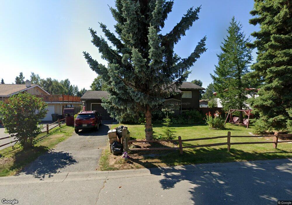
4950 Southampton Dr Anchorage, AK 99503
Spenard NeighborhoodEstimated Value: $302,000 - $404,000
3
Beds
2
Baths
924
Sq Ft
$397/Sq Ft
Est. Value
About This Home
This home is located at 4950 Southampton Dr, Anchorage, AK 99503 and is currently estimated at $366,974, approximately $397 per square foot. 4950 Southampton Dr is a home located in Anchorage Municipality with nearby schools including Willow Crest Elementary School, Romig Middle School, and West High School.
Ownership History
Date
Name
Owned For
Owner Type
Purchase Details
Closed on
Sep 15, 2022
Sold by
Opal Thome Myrtle
Bought by
Laforest Debra Ann
Current Estimated Value
Purchase Details
Closed on
Nov 25, 1993
Sold by
Davis Seth R
Bought by
Thome Richard D and Thome Opal M
Home Financials for this Owner
Home Financials are based on the most recent Mortgage that was taken out on this home.
Original Mortgage
$97,000
Interest Rate
6.85%
Mortgage Type
VA
Create a Home Valuation Report for This Property
The Home Valuation Report is an in-depth analysis detailing your home's value as well as a comparison with similar homes in the area
Home Values in the Area
Average Home Value in this Area
Purchase History
| Date | Buyer | Sale Price | Title Company |
|---|---|---|---|
| Laforest Debra Ann | -- | New Title Company Name | |
| Thome Richard D | -- | -- | |
| Thome Richard D | -- | -- |
Source: Public Records
Mortgage History
| Date | Status | Borrower | Loan Amount |
|---|---|---|---|
| Previous Owner | Thome Richard D | $97,000 |
Source: Public Records
Tax History Compared to Growth
Tax History
| Year | Tax Paid | Tax Assessment Tax Assessment Total Assessment is a certain percentage of the fair market value that is determined by local assessors to be the total taxable value of land and additions on the property. | Land | Improvement |
|---|---|---|---|---|
| 2025 | $5,567 | $365,100 | $99,000 | $266,100 |
| 2024 | $5,567 | $344,800 | $99,000 | $245,800 |
| 2023 | $5,272 | $309,600 | $99,000 | $210,600 |
| 2022 | $1,822 | $308,200 | $99,000 | $209,200 |
| 2021 | $5,015 | $278,300 | $99,000 | $179,300 |
| 2020 | $1,345 | $280,300 | $99,000 | $181,300 |
| 2019 | $1,351 | $282,600 | $99,000 | $183,600 |
| 2018 | $1,355 | $282,600 | $99,000 | $183,600 |
| 2017 | $1,909 | $291,900 | $99,000 | $192,900 |
| 2016 | $1,350 | $278,800 | $97,500 | $181,300 |
| 2015 | $1,350 | $284,800 | $97,500 | $187,300 |
| 2014 | $1,350 | $271,100 | $97,500 | $173,600 |
Source: Public Records
Map
Nearby Homes
- 4962 Nottingham Way
- 4904 Cambridge Way
- 4906 Cambridge Way
- 1808 W 47th Ave
- 1106 W 54th Ave
- 4309 Garfield St
- 4309 Wilson St
- 4300 Hayes St
- 2101 W 47th Ave
- 4209 Hayes St
- 2040 Wenmatt Cir
- 4113 Cope St
- 4106 N Star St
- 3901 Hayes St
- 2202 Lincoln Ave
- 3729 Mccain Loop
- 1806 Cleveland Ave
- 3731 Mccain Loop
- 1808 Cleveland Ave
- 2105 Mckinley Ave
- 4920 Southampton Dr
- 4960 Southampton Dr
- 1521 Oxford Dr
- 1511 Oxford Dr
- 4900 Southampton Dr
- 1531 Oxford Dr
- 4980 Southampton Dr
- 4949 Southampton Dr
- 1501 Oxford Dr
- 4933 Southampton Dr
- 1541 Oxford Dr
- 4965 Southampton Dr
- 4917 Southampton Dr
- 4870 Southampton Dr
- 5000 Southampton Dr
- 4985 Southampton Dr
- 4901 Southampton Dr
- 1601 Oxford Dr
- 1440 Oxford Dr
- 5001 Southampton Dr