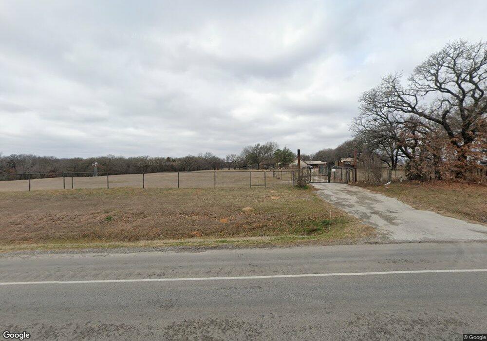
4951 N Fm 51 Weatherford, TX 76085
Estimated Value: $559,000 - $964,621
4
Beds
3
Baths
2,500
Sq Ft
$305/Sq Ft
Est. Value
About This Home
This home is located at 4951 N Fm 51, Weatherford, TX 76085 and is currently estimated at $761,811, approximately $304 per square foot. 4951 N Fm 51 is a home located in Parker County with nearby schools including Seguin Elementary School, Tison Middle School, and Weatherford High School.
Ownership History
Date
Name
Owned For
Owner Type
Purchase Details
Closed on
Jul 1, 2010
Sold by
Schipper Henry W and Schipper Martha H
Bought by
Malone Richard K and Malone Dana
Current Estimated Value
Purchase Details
Closed on
Nov 3, 2005
Sold by
Savage Richard C
Bought by
Malone Richard K and Malone Dana
Purchase Details
Closed on
Aug 31, 1998
Sold by
Savage Richard C
Bought by
Malone Richard K and Malone Dana
Purchase Details
Closed on
Sep 8, 1995
Bought by
Malone Richard K and Malone Dana
Purchase Details
Closed on
Jul 6, 1992
Bought by
Malone Richard K and Malone Dana
Create a Home Valuation Report for This Property
The Home Valuation Report is an in-depth analysis detailing your home's value as well as a comparison with similar homes in the area
Home Values in the Area
Average Home Value in this Area
Purchase History
| Date | Buyer | Sale Price | Title Company |
|---|---|---|---|
| Malone Richard K | -- | -- | |
| Malone Richard K | -- | -- | |
| Malone Richard K | -- | -- | |
| Malone Richard K | -- | -- | |
| Malone Richard K | -- | -- |
Source: Public Records
Tax History Compared to Growth
Tax History
| Year | Tax Paid | Tax Assessment Tax Assessment Total Assessment is a certain percentage of the fair market value that is determined by local assessors to be the total taxable value of land and additions on the property. | Land | Improvement |
|---|---|---|---|---|
| 2025 | $5,565 | $350,770 | $29,000 | $321,770 |
| 2024 | $5,565 | $405,174 | -- | -- |
| 2023 | $5,565 | $368,340 | $0 | $0 |
| 2022 | $6,234 | $334,860 | $19,300 | $315,560 |
| 2021 | $6,144 | $334,860 | $19,300 | $315,560 |
| 2020 | $5,625 | $277,320 | $12,000 | $265,320 |
| 2019 | $5,794 | $277,320 | $12,000 | $265,320 |
| 2018 | $5,295 | $253,530 | $8,900 | $244,630 |
| 2017 | $4,912 | $253,530 | $8,900 | $244,630 |
| 2016 | $4,465 | $201,170 | $8,900 | $192,270 |
| 2015 | $4,018 | $201,170 | $8,900 | $192,270 |
| 2014 | $3,755 | $186,590 | $8,800 | $177,790 |
Source: Public Records
Map
Nearby Homes
- 4951 N Fm 51
- 134 Hedges Cir
- 265 Dill Rd
- 106 Hedges Cir
- 1040 Ray's Way
- 1060 Scott Rd
- 1000 Rays Way
- 4005 Farm To Market 51
- 505 Aermotor Loop
- 181 Fan Mill Trail
- 197 Fan Mill Trail
- 4005 N Fm 51
- 152 Katy Ranch Dr
- TBD Murray Rd
- 3915 N Fm 51
- 1009 Sabrina Ct
- 2000 Collin St
- 5885-A Old Springtown Rd
- 5885-B Old Springtown Rd
- 5885-C Old Springtown Rd