4953 Hawthorne St Philadelphia, PA 19124
Frankford NeighborhoodEstimated Value: $152,000 - $212,000
--
Bed
--
Bath
1,436
Sq Ft
$126/Sq Ft
Est. Value
About This Home
This home is located at 4953 Hawthorne St, Philadelphia, PA 19124 and is currently estimated at $180,494, approximately $125 per square foot. 4953 Hawthorne St is a home located in Philadelphia County with nearby schools including Harding Warren G Middle School, Frankford High School, and Mastery Schools Smedley Elementary.
Ownership History
Date
Name
Owned For
Owner Type
Purchase Details
Closed on
Sep 23, 2003
Sold by
Perna Alphonso and Perna Erika
Bought by
Lyons Kevin and Lyons Karna
Current Estimated Value
Home Financials for this Owner
Home Financials are based on the most recent Mortgage that was taken out on this home.
Original Mortgage
$43,225
Outstanding Balance
$19,790
Interest Rate
6.05%
Mortgage Type
Purchase Money Mortgage
Estimated Equity
$160,704
Purchase Details
Closed on
May 18, 1982
Bought by
Lyons Kevin D and Lyons Karna
Create a Home Valuation Report for This Property
The Home Valuation Report is an in-depth analysis detailing your home's value as well as a comparison with similar homes in the area
Home Values in the Area
Average Home Value in this Area
Purchase History
| Date | Buyer | Sale Price | Title Company |
|---|---|---|---|
| Lyons Kevin | $45,500 | -- | |
| Lyons Kevin D | -- | -- |
Source: Public Records
Mortgage History
| Date | Status | Borrower | Loan Amount |
|---|---|---|---|
| Open | Lyons Kevin | $43,225 |
Source: Public Records
Tax History Compared to Growth
Tax History
| Year | Tax Paid | Tax Assessment Tax Assessment Total Assessment is a certain percentage of the fair market value that is determined by local assessors to be the total taxable value of land and additions on the property. | Land | Improvement |
|---|---|---|---|---|
| 2025 | $1,428 | $154,200 | $30,800 | $123,400 |
| 2024 | $1,428 | $154,200 | $30,800 | $123,400 |
| 2023 | $1,428 | $102,000 | $20,400 | $81,600 |
| 2022 | $280 | $57,000 | $20,400 | $36,600 |
| 2021 | $910 | $0 | $0 | $0 |
| 2020 | $910 | $0 | $0 | $0 |
| 2019 | $873 | $0 | $0 | $0 |
| 2018 | $683 | $0 | $0 | $0 |
| 2017 | $1,103 | $0 | $0 | $0 |
| 2016 | $683 | $0 | $0 | $0 |
| 2015 | $654 | $0 | $0 | $0 |
| 2014 | -- | $78,800 | $13,177 | $65,623 |
| 2012 | -- | $6,080 | $467 | $5,613 |
Source: Public Records
Map
Nearby Homes
- 4938 Mulberry St
- 4942 Mulberry St
- 5009 Hawthorne St
- 4952 Charles St
- 4943 Duffield St
- 1724 Harrison St
- 5026 Charles St
- 1818 Harrison St
- 1688 Fillmore St
- 5201 Hawthorne St
- 4812 Tackawanna St
- 1934 Harrison St
- 1936 Harrison St
- 1932 Granite St
- 5236 Marlowe St
- 4669 Mulberry St
- 1617 Wakeling St
- 1651 Conklin St
- 1636 Fillmore St
- 4714 Hawthorne St
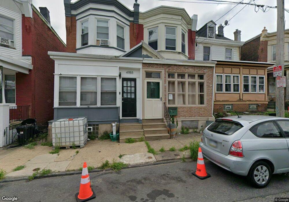
- 4955 Hawthorne St
- 4957 Hawthorne St
- 4959 Hawthorne St
- 4951 Hawthorne St
- 4949 Hawthorne St
- 4947 Hawthorne St
- 4945 Hawthorne St
- 4663 Hawthorne St
- 5001 Hawthorne St
- 4943 Hawthorne St
- 5003 Hawthorne St
- 4941 Hawthorne St
- 4948 Hawthorne St
- 5005 Hawthorne St
- 4946 Mulberry St
- 4948 Mulberry St
- 4944 Mulberry St
- 4952 Hawthorne St Unit 2
- 4952 Hawthorne St
- 4950 Hawthorne St