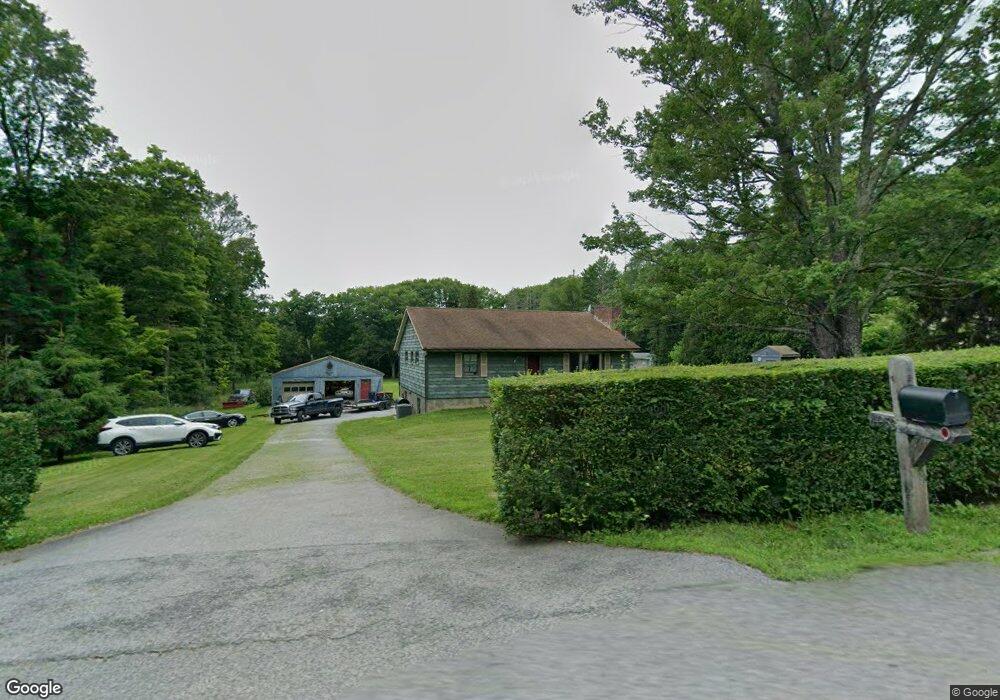
4953 Route 82 Salt Point, NY 12578
Estimated Value: $400,000 - $429,000
2
Beds
2
Baths
1,440
Sq Ft
$288/Sq Ft
Est. Value
About This Home
This home is located at 4953 Route 82, Salt Point, NY 12578 and is currently estimated at $415,340, approximately $288 per square foot. 4953 Route 82 is a home located in Dutchess County with nearby schools including Elm Drive Elementary School, Alden Place Elementary School, and Millbrook Middle School.
Ownership History
Date
Name
Owned For
Owner Type
Purchase Details
Closed on
Oct 4, 2013
Sold by
Mozdziez Anita
Bought by
Mozdziez Mark
Current Estimated Value
Home Financials for this Owner
Home Financials are based on the most recent Mortgage that was taken out on this home.
Original Mortgage
$176,000
Outstanding Balance
$132,558
Interest Rate
4.56%
Mortgage Type
New Conventional
Estimated Equity
$282,782
Create a Home Valuation Report for This Property
The Home Valuation Report is an in-depth analysis detailing your home's value as well as a comparison with similar homes in the area
Home Values in the Area
Average Home Value in this Area
Purchase History
| Date | Buyer | Sale Price | Title Company |
|---|---|---|---|
| Mozdziez Mark | $220,000 | -- |
Source: Public Records
Mortgage History
| Date | Status | Borrower | Loan Amount |
|---|---|---|---|
| Open | Mozdziez Mark | $176,000 |
Source: Public Records
Tax History Compared to Growth
Tax History
| Year | Tax Paid | Tax Assessment Tax Assessment Total Assessment is a certain percentage of the fair market value that is determined by local assessors to be the total taxable value of land and additions on the property. | Land | Improvement |
|---|---|---|---|---|
| 2024 | $4,894 | $215,200 | $101,900 | $113,300 |
| 2023 | $4,894 | $215,200 | $101,900 | $113,300 |
| 2022 | $5,020 | $215,200 | $101,900 | $113,300 |
| 2021 | $5,111 | $215,200 | $101,900 | $113,300 |
| 2020 | $4,535 | $215,200 | $101,900 | $113,300 |
| 2019 | $4,328 | $215,200 | $101,900 | $113,300 |
| 2018 | $4,387 | $212,000 | $101,900 | $110,100 |
| 2017 | $4,362 | $212,000 | $101,900 | $110,100 |
| 2016 | $4,296 | $212,000 | $101,900 | $110,100 |
| 2015 | -- | $212,000 | $101,900 | $110,100 |
| 2014 | -- | $212,000 | $101,900 | $110,100 |
Source: Public Records
Map
Nearby Homes
- 28 Clinton Corners Rd
- 93 Clinton Corners Rd
- 129 Clinton Corners Rd
- 166 Hibernia Rd
- 2045 Salt Point Turnpike
- 5028-5030 Rt-82
- 391 Clinton Corners Rd
- 519 Woodstock Rd
- 521 Woodstock Rd
- Parcel 1 - TBD Woodstock Rd
- 2039 Salt Point Turnpike
- 2261 Salt Point Turnpike Unit 22
- 309 Woodstock Rd
- 645 Tyrrel Rd
- 477 Canoe Hill Rd
- 0 Creek Rd Unit KEY896908
- 12 Talleur Ln
- 2461 Salt Point Turnpike
- 198 Tinkertown Rd
- 31 Oak Grove Rd
- 4963 Route 82
- 4969 Route 82
- 21 Church Rd
- 27 Church Rd
- 15 Church Rd
- 4918 Route 82
- 4973 Route 82
- 7 Church Rd
- 30 Clinton Corners Rd
- 54 Clinton Corners Rd
- 4916 Route 82
- 74 Clinton Corners Rd
- 68 Clinton Corners Rd Unit 74
- 31 Clinton Corners Rd
- 31 Clinton Corners Rd Unit 1
- 5003 Route 82
- 11 Clinton Corners Rd Unit 13
- 53 Clinton Corners Rd
- 0 Clinton Corners Rd Unit 343354
- 0 Clinton Corners Rd Unit 350820