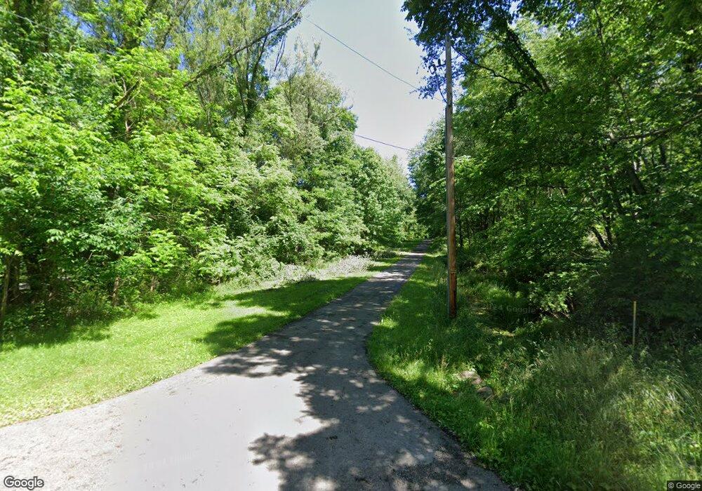
49546 Mcclure Rd East Palestine, OH 44413
Estimated Value: $156,000 - $406,261
1
Bed
2
Baths
2,048
Sq Ft
$140/Sq Ft
Est. Value
About This Home
This home is located at 49546 Mcclure Rd, East Palestine, OH 44413 and is currently estimated at $286,065, approximately $139 per square foot. 49546 Mcclure Rd is a home located in Columbiana County with nearby schools including East Palestine Elementary School, East Palestine Middle School, and East Palestine High School.
Ownership History
Date
Name
Owned For
Owner Type
Purchase Details
Closed on
Apr 11, 2002
Sold by
Parish Connie and Parish James V
Bought by
Bell Richard H and Bell Wendy S
Current Estimated Value
Home Financials for this Owner
Home Financials are based on the most recent Mortgage that was taken out on this home.
Original Mortgage
$22,750
Outstanding Balance
$9,680
Interest Rate
7.18%
Mortgage Type
Seller Take Back
Estimated Equity
$276,385
Purchase Details
Closed on
May 11, 1998
Sold by
Parish Connie
Bought by
Stanley Harold and Stanley Linda
Home Financials for this Owner
Home Financials are based on the most recent Mortgage that was taken out on this home.
Original Mortgage
$15,000
Interest Rate
9.75%
Purchase Details
Closed on
Aug 13, 1993
Sold by
Parish Connie
Bought by
Parish Connie
Create a Home Valuation Report for This Property
The Home Valuation Report is an in-depth analysis detailing your home's value as well as a comparison with similar homes in the area
Home Values in the Area
Average Home Value in this Area
Purchase History
| Date | Buyer | Sale Price | Title Company |
|---|---|---|---|
| Bell Richard H | $33,800 | -- | |
| Stanley Harold | $17,500 | -- | |
| Parish Connie | -- | -- |
Source: Public Records
Mortgage History
| Date | Status | Borrower | Loan Amount |
|---|---|---|---|
| Open | Bell Richard H | $22,750 | |
| Previous Owner | Stanley Harold | $15,000 |
Source: Public Records
Tax History Compared to Growth
Tax History
| Year | Tax Paid | Tax Assessment Tax Assessment Total Assessment is a certain percentage of the fair market value that is determined by local assessors to be the total taxable value of land and additions on the property. | Land | Improvement |
|---|---|---|---|---|
| 2024 | $3,316 | $100,840 | $19,990 | $80,850 |
| 2023 | $3,318 | $100,840 | $19,990 | $80,850 |
| 2022 | $3,309 | $100,840 | $19,990 | $80,850 |
| 2021 | $2,804 | $83,340 | $16,100 | $67,240 |
| 2020 | $2,877 | $83,340 | $16,100 | $67,240 |
| 2019 | $2,875 | $83,340 | $16,100 | $67,240 |
| 2018 | $2,701 | $75,740 | $14,630 | $61,110 |
| 2017 | $2,704 | $75,740 | $14,630 | $61,110 |
| 2016 | $2,268 | $58,140 | $14,530 | $43,610 |
| 2015 | $2,105 | $58,140 | $14,530 | $43,610 |
| 2014 | $2,146 | $56,780 | $20,130 | $36,650 |
Source: Public Records
Map
Nearby Homes
- 0 Bacon Ave
- 1075 Bacon Ave
- 601 W North Ave
- 581 W North Ave Unit 2
- 385 Park Ave
- 344 W Main St
- 395 W Clark St
- 681 Grandview Ave
- 201-203 W Clark St
- 288 W North Ave
- 115 W Taggart St
- 167 S Market St
- 5136 State Route 170
- 377 N Market St
- 199 Garfield Ave
- 6748 Bye Rd
- 295 E Martin St
- 6305 State Route 170
- 737 Moore Ln
- 365 Lyons Ave
- 49578 Mcclure Rd
- 49584 Mcclure Rd
- 49500 Mcclure Rd
- 1481 Bacon Ave
- 1575 Bacon Ave
- 49585 Mcclure Rd
- 49501 Mcclure Rd
- 1291 Bacon Ave
- 1691 Bacon Ave
- 1279 Bacon Ave
- 1263 Bacon Ave
- 49633 Mcclure Rd
- 1414 Bacon Ave
- 49681 Mcclure Rd
- 1480 Bacon Ave
- 49317 Mcclure Rd
- 1233 Bacon Ave
- 1590 Bacon Ave
- 49682 Mcclure Rd
- 49716 Mcclure Rd
