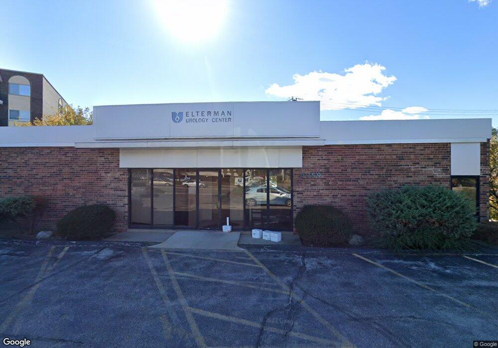
4959 Golf Rd Skokie, IL 60077
Barcelona NeighborhoodEstimated Value: $1,250,959
--
Bed
--
Bath
3,400
Sq Ft
$368/Sq Ft
Est. Value
About This Home
This home is located at 4959 Golf Rd, Skokie, IL 60077 and is currently estimated at $1,250,959, approximately $367 per square foot. 4959 Golf Rd is a home located in Cook County with nearby schools including Old Orchard Jr High School, Jane Stenson School, and Niles North High School.
Ownership History
Date
Name
Owned For
Owner Type
Purchase Details
Closed on
Jul 21, 2011
Sold by
Chicago Title Land Trust Company
Bought by
4959 Golf Corporation
Current Estimated Value
Home Financials for this Owner
Home Financials are based on the most recent Mortgage that was taken out on this home.
Original Mortgage
$461,250
Interest Rate
4.54%
Mortgage Type
Commercial
Create a Home Valuation Report for This Property
The Home Valuation Report is an in-depth analysis detailing your home's value as well as a comparison with similar homes in the area
Home Values in the Area
Average Home Value in this Area
Purchase History
| Date | Buyer | Sale Price | Title Company |
|---|---|---|---|
| 4959 Golf Corporation | $615,000 | Chicago Title Land Trust Co |
Source: Public Records
Mortgage History
| Date | Status | Borrower | Loan Amount |
|---|---|---|---|
| Closed | 4959 Golf Corporation | $461,250 |
Source: Public Records
Tax History Compared to Growth
Tax History
| Year | Tax Paid | Tax Assessment Tax Assessment Total Assessment is a certain percentage of the fair market value that is determined by local assessors to be the total taxable value of land and additions on the property. | Land | Improvement |
|---|---|---|---|---|
| 2024 | $26,703 | $106,881 | $65,280 | $41,601 |
| 2023 | $25,989 | $106,881 | $65,280 | $41,601 |
| 2022 | $25,989 | $106,881 | $65,280 | $41,601 |
| 2021 | $38,386 | $140,250 | $65,280 | $74,970 |
| 2020 | $38,007 | $140,250 | $65,280 | $74,970 |
| 2019 | $37,177 | $150,899 | $65,280 | $85,619 |
| 2018 | $34,489 | $128,021 | $39,440 | $88,581 |
| 2017 | $34,739 | $128,021 | $39,440 | $88,581 |
| 2016 | $33,213 | $128,021 | $39,440 | $88,581 |
| 2015 | $32,472 | $116,334 | $36,040 | $80,294 |
| 2014 | $31,714 | $116,334 | $36,040 | $80,294 |
| 2013 | $31,644 | $116,334 | $36,040 | $80,294 |
Source: Public Records
Map
Nearby Homes
- 9529 Bronx Ave Unit 102
- 4901 Golf Rd Unit 310
- 9449 Lavergne Ave
- 4840 Foster St Unit 107
- 4840 Foster St Unit 304
- 4840 Foster St Unit 303
- 9508 Leamington Ave
- 9244 Gross Point Rd Unit A103
- 9242 Gross Point Rd Unit B402
- 9457 Kenton Ave Unit F
- 9445 Kenton Ave Unit P30
- 9445 Kenton Ave Unit P14
- 4949 Church St Unit 107
- 9715 Woods Dr Unit 903
- 9715 Woods Dr Unit 1104
- 9655 Woods Dr Unit P350
- 9655 Woods Dr Unit 1809
- 9725 Woods Dr Unit 1913
- 9725 Woods Dr Unit 309
- 9725 Woods Dr Unit 802
- 9541 Lavergne Ave
- 5001 Golf Rd
- 9537 Lavergne Ave
- 5007 Golf Rd
- 9544 Lavergne Ave
- 9533 Lavergne Ave
- 5011 Golf Rd
- 9540 Lavergne Ave
- 4949 Golf Rd Unit 102
- 4949 Golf Rd Unit 407
- 4949 Golf Rd Unit 209
- 4949 Golf Rd Unit 101
- 4949 Golf Rd Unit 302
- 4949 Golf Rd Unit 210
- 4949 Golf Rd Unit 404
- 4949 Golf Rd Unit 308
- 4949 Golf Rd Unit 109
- 4949 Golf Rd Unit 405
- 4949 Golf Rd Unit 206
- 4949 Golf Rd Unit 306