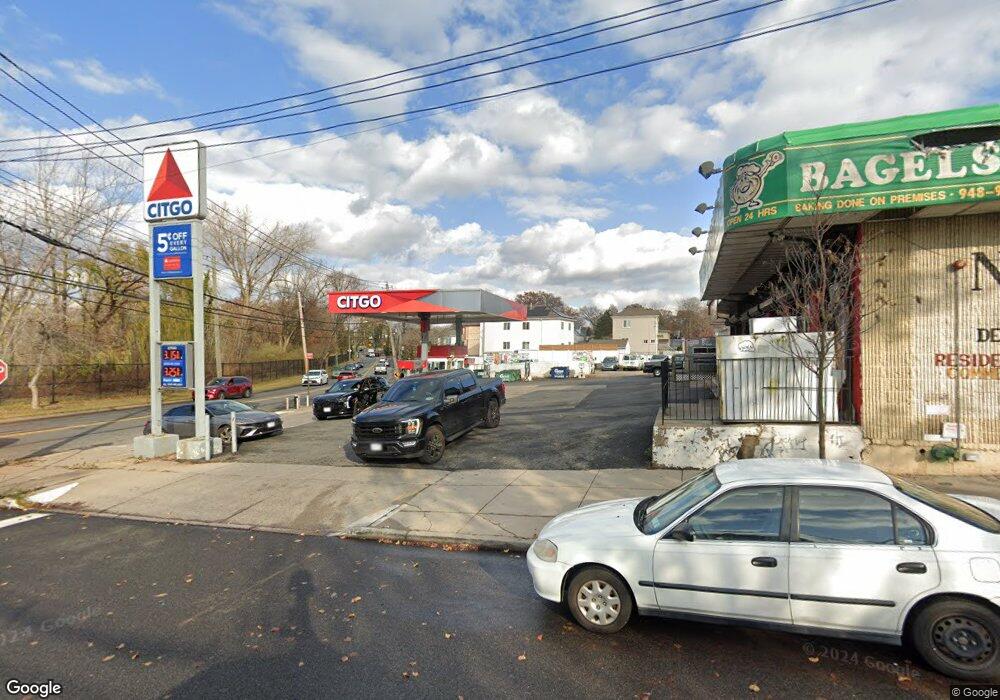
496 Arthur Kill Rd Staten Island, NY 10308
Great Kills NeighborhoodEstimated Value: $3,695,782
--
Bed
--
Bath
3,500
Sq Ft
$1,056/Sq Ft
Est. Value
About This Home
This home is located at 496 Arthur Kill Rd, Staten Island, NY 10308 and is currently estimated at $3,695,782, approximately $1,055 per square foot. 496 Arthur Kill Rd is a home located in Richmond County with nearby schools including P.S. 32 The Gifford School, I.S. 075 Frank D. Paulo, and Susan E Wagner High School.
Ownership History
Date
Name
Owned For
Owner Type
Purchase Details
Closed on
Mar 27, 2006
Sold by
Charming Billy Deli Inc
Bought by
Mill & Jay Realty Llc
Current Estimated Value
Home Financials for this Owner
Home Financials are based on the most recent Mortgage that was taken out on this home.
Original Mortgage
$2,000,000
Outstanding Balance
$1,144,016
Interest Rate
6.28%
Mortgage Type
Commercial
Estimated Equity
$2,551,766
Create a Home Valuation Report for This Property
The Home Valuation Report is an in-depth analysis detailing your home's value as well as a comparison with similar homes in the area
Home Values in the Area
Average Home Value in this Area
Purchase History
| Date | Buyer | Sale Price | Title Company |
|---|---|---|---|
| Mill & Jay Realty Llc | $2,200,000 | None Available |
Source: Public Records
Mortgage History
| Date | Status | Borrower | Loan Amount |
|---|---|---|---|
| Open | Mill & Jay Realty Llc | $2,000,000 |
Source: Public Records
Tax History Compared to Growth
Tax History
| Year | Tax Paid | Tax Assessment Tax Assessment Total Assessment is a certain percentage of the fair market value that is determined by local assessors to be the total taxable value of land and additions on the property. | Land | Improvement |
|---|---|---|---|---|
| 2025 | $29,933 | $307,350 | $130,950 | $176,400 |
| 2024 | $29,933 | $297,900 | $130,950 | $166,950 |
| 2023 | $30,210 | $283,770 | $130,950 | $152,820 |
| 2022 | $28,022 | $260,550 | $130,950 | $129,600 |
| 2021 | $26,323 | $246,150 | $130,950 | $115,200 |
| 2020 | $29,254 | $319,500 | $130,950 | $188,550 |
| 2019 | $27,278 | $303,750 | $130,950 | $172,800 |
| 2018 | $25,331 | $273,600 | $130,950 | $142,650 |
| 2017 | $24,063 | $260,550 | $130,950 | $129,600 |
| 2016 | $23,515 | $228,600 | $130,950 | $97,650 |
| 2015 | $22,019 | $228,600 | $130,950 | $97,650 |
| 2014 | $22,019 | $213,300 | $130,950 | $82,350 |
Source: Public Records
Map
Nearby Homes
- 87 Pemberton Ave
- 466 Doane Ave
- 72 Eric Ln
- 132 Elkhart St
- 12 Lexington Ln
- 414 Elverton Ave
- 420 Arthur Kill Rd
- 379 Brookfield Ave
- 350 Brookfield Ave
- 62 Daleham St
- 12 Troy St
- 259 Brookfield Ave
- 339 Abingdon Ave
- 38 Troy St
- 40 Troy St
- 307 Abingdon Ave
- 74 E Brandis Ave
- 52 Barlow Ave
- 271 Doane Ave
- 47 Jumel St
- 116 Pemberton Ave
- 114 Pemberton Ave Unit 2nd Floor
- 114 Pemberton Ave
- 491 Elverton Ave
- 110 Pemberton Ave
- 468 Arthur Kill Rd
- 489 Elverton Ave
- 120 Pemberton Ave Unit 1
- 120 Pemberton Ave Unit 2
- 120 Pemberton Ave
- 108 Pemberton Ave
- 487 Elverton Ave
- 485 Elverton Ave
- 484 Arthur Kill Rd
- 104 Pemberton Ave
- 464 Arthur Kill Rd Unit Basement
- 464 Arthur Kill Rd Unit 1
- 464 Arthur Kill Rd
- 483 Elverton Ave
- 481 Elverton Ave