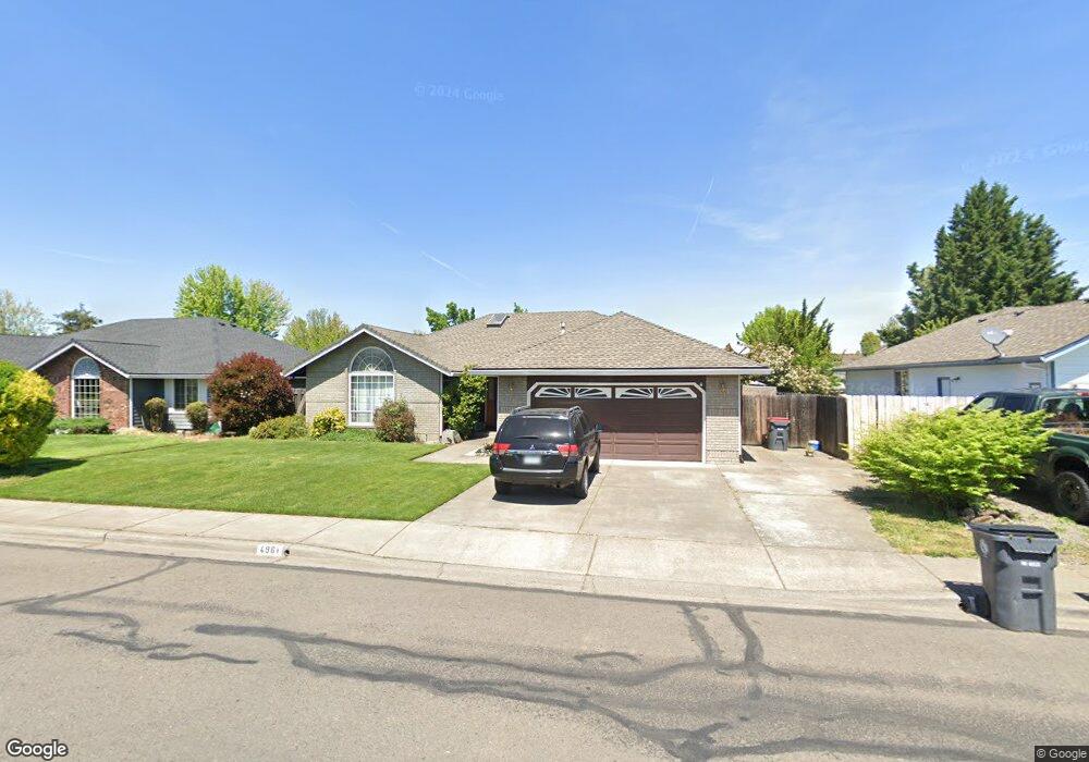
496 Brandon St Central Point, OR 97502
Estimated Value: $403,512 - $459,000
3
Beds
2
Baths
1,612
Sq Ft
$274/Sq Ft
Est. Value
About This Home
This home is located at 496 Brandon St, Central Point, OR 97502 and is currently estimated at $441,628, approximately $273 per square foot. 496 Brandon St is a home located in Jackson County with nearby schools including Richardson Elementary School, Scenic Middle School, and Crater High School.
Ownership History
Date
Name
Owned For
Owner Type
Purchase Details
Closed on
Apr 2, 2018
Sold by
Breeze Annette C
Bought by
Rab Rentals Llc
Current Estimated Value
Purchase Details
Closed on
Feb 20, 2002
Sold by
Anderson Robert and Anderson Marjo
Bought by
Breeze Reginald P
Purchase Details
Closed on
Jan 8, 2002
Sold by
Breeze Reginal P
Bought by
Breeze Annette C
Create a Home Valuation Report for This Property
The Home Valuation Report is an in-depth analysis detailing your home's value as well as a comparison with similar homes in the area
Home Values in the Area
Average Home Value in this Area
Purchase History
| Date | Buyer | Sale Price | Title Company |
|---|---|---|---|
| Rab Rentals Llc | -- | First American Title | |
| Breeze Reginald P | $162,500 | Amerititle Inc | |
| Breeze Annette C | -- | -- |
Source: Public Records
Tax History Compared to Growth
Tax History
| Year | Tax Paid | Tax Assessment Tax Assessment Total Assessment is a certain percentage of the fair market value that is determined by local assessors to be the total taxable value of land and additions on the property. | Land | Improvement |
|---|---|---|---|---|
| 2025 | $4,692 | $282,200 | $65,010 | $217,190 |
| 2024 | $4,692 | $273,990 | $63,120 | $210,870 |
| 2023 | $4,541 | $266,010 | $61,280 | $204,730 |
| 2022 | $4,435 | $266,010 | $61,280 | $204,730 |
| 2021 | $4,308 | $258,270 | $59,500 | $198,770 |
| 2020 | $4,183 | $250,750 | $57,770 | $192,980 |
| 2019 | $4,079 | $236,360 | $54,460 | $181,900 |
| 2018 | $3,955 | $229,480 | $52,870 | $176,610 |
| 2017 | $3,856 | $229,480 | $52,870 | $176,610 |
| 2016 | $3,743 | $216,320 | $49,840 | $166,480 |
| 2015 | $3,586 | $216,320 | $49,840 | $166,480 |
| 2014 | $3,495 | $203,910 | $46,980 | $156,930 |
Source: Public Records
Map
Nearby Homes
- 487 Creekside Cir
- 465 Creekside Cir
- 659 Jackson Creek Dr
- 21 Hickory Ln
- 871 Holley Way
- 895 Holley Way
- 570 Bachand Cir
- 3364 Snowy Butte Ln
- 349 W Pine St
- 420 Mayberry Ln
- 429 Mayberry Ln
- 3642 Oak Pine Way
- 619 Palo Verde Way
- 3506 New Ray Rd
- 407 Silver Creek Dr
- 114 Cedar St
- 739 S Haskell St
- 3220 Freeland Rd
- 3307 Freeland Rd
- 626 Griffin Oaks Dr
- 500 Brandon St
- 482 Brandon St
- 449 Creekside Cir Unit 1
- 524 Brandon St
- 395 Brandon St
- 400 Jackson Creek Dr
- 353 Brandon St
- 479 Brandon St
- 503 Brandon St
- 536 Brandon St
- 317 Brandon St
- 451 Brandon St
- 527 Brandon St
- 498 Creekside Cir
- 500 Jackson Creek Dr
- 276 Vincent Ct
- 511 Jackson Creek Dr
- 558 Brandon St
- 545 Brandon St
- 356 Brandon St