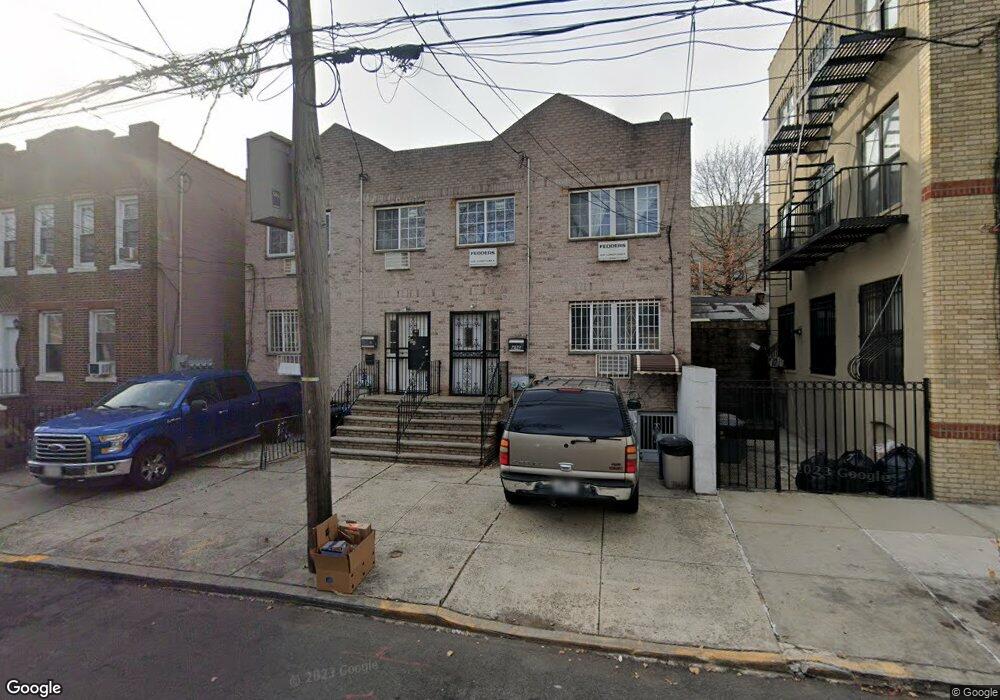
496 Bristol St Unit 498 Brooklyn, NY 11212
Brownsville NeighborhoodEstimated Value: $881,737 - $960,000
--
Bed
--
Bath
2,400
Sq Ft
$386/Sq Ft
Est. Value
About This Home
This home is located at 496 Bristol St Unit 498, Brooklyn, NY 11212 and is currently estimated at $927,434, approximately $386 per square foot. 496 Bristol St Unit 498 is a home located in Kings County with nearby schools including P.S. 165 Ida Posner, P.S. 156 Waverly, and P.S. 150 - Christopher.
Ownership History
Date
Name
Owned For
Owner Type
Purchase Details
Closed on
Apr 29, 2005
Sold by
Block One Llc
Bought by
Phillips Leslie
Current Estimated Value
Home Financials for this Owner
Home Financials are based on the most recent Mortgage that was taken out on this home.
Original Mortgage
$99,800
Outstanding Balance
$53,071
Interest Rate
6.05%
Estimated Equity
$874,363
Purchase Details
Closed on
Aug 10, 2001
Sold by
496 Bristol Corp
Bought by
Block One Llc
Purchase Details
Closed on
Mar 23, 2001
Sold by
Perry Toni A Inman and Inman Toni A
Bought by
496 Bristol Corp
Create a Home Valuation Report for This Property
The Home Valuation Report is an in-depth analysis detailing your home's value as well as a comparison with similar homes in the area
Home Values in the Area
Average Home Value in this Area
Purchase History
| Date | Buyer | Sale Price | Title Company |
|---|---|---|---|
| Phillips Leslie | $499,000 | -- | |
| Phillips Leslie | $499,000 | -- | |
| Block One Llc | -- | -- | |
| Block One Llc | -- | -- | |
| 496 Bristol Corp | $2,500 | Commonwealth Land Title Ins | |
| 496 Bristol Corp | $2,500 | Commonwealth Land Title Ins |
Source: Public Records
Mortgage History
| Date | Status | Borrower | Loan Amount |
|---|---|---|---|
| Open | Phillips Leslie | $99,800 | |
| Closed | Phillips Leslie | $99,800 | |
| Open | Phillips Leslie | $399,200 | |
| Closed | Phillips Leslie | $399,200 |
Source: Public Records
Tax History Compared to Growth
Tax History
| Year | Tax Paid | Tax Assessment Tax Assessment Total Assessment is a certain percentage of the fair market value that is determined by local assessors to be the total taxable value of land and additions on the property. | Land | Improvement |
|---|---|---|---|---|
| 2025 | $7,434 | $53,400 | $20,040 | $33,360 |
| 2024 | $7,434 | $51,420 | $20,040 | $31,380 |
| 2023 | $7,092 | $46,080 | $20,040 | $26,040 |
| 2022 | $6,971 | $37,860 | $20,040 | $17,820 |
| 2021 | $7,294 | $35,880 | $20,040 | $15,840 |
| 2020 | $3,421 | $36,600 | $20,040 | $16,560 |
| 2019 | $6,453 | $38,760 | $20,040 | $18,720 |
| 2018 | $5,932 | $29,100 | $20,040 | $9,060 |
| 2017 | $6,446 | $31,620 | $20,040 | $11,580 |
| 2016 | $6,261 | $31,320 | $20,040 | $11,280 |
| 2015 | $4,163 | $36,471 | $20,255 | $16,216 |
| 2014 | $4,163 | $34,407 | $18,802 | $15,605 |
Source: Public Records
Map
Nearby Homes
- 524 Chester St
- 546 Bristol St
- 124 Lott Ave
- 121 Riverdale Ave
- 385 Amboy St
- 363 Amboy St
- 504 Thatford Ave
- 923 Rockaway Ave
- 341 Herzl St
- 401 Legion St
- 2148 Strauss St Unit 1
- 587 Osborn St
- 1041 Thomas S Boyland St
- 447 Rockaway Pkwy Unit 28
- 632 Osborn St
- 315 Legion St
- 533 E 96th St Unit 4
- 539 E 96th St Unit 4
- 797 Mother Gaston Blvd
- 258 Lott Ave
- 496-498 Bristol St
- 498 Bristol St
- 500 Bristol St
- 136 Newport St
- 504 Bristol St
- 140 Newport St
- 134 Newport St
- 134 Newport St Unit 1
- 134 Newport St Unit 2
- 134A Newport St
- 134A Newport St Unit TH
- 134A136 Newport St
- 132 Newport St
- 506 Bristol St
- 871 Thomas S Boyland St
- 510 Bristol St
- 869 Thomas S Boyland St Unit 2D
- 869 Thomas S Boyland St Unit 7D
- 869 Thomas S Boyland St Unit 4A
- 869 Thomas S Boyland St