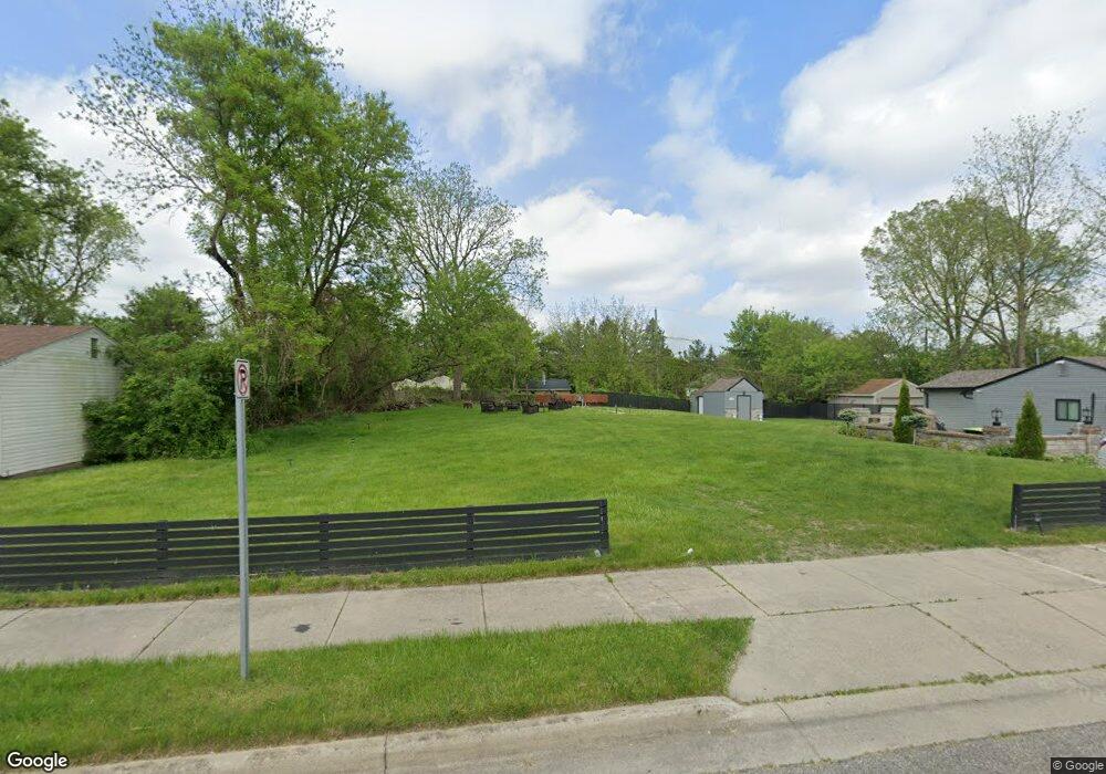
496 Highland Ave Pontiac, MI 48341
Estimated Value: $88,641 - $110,000
3
Beds
1
Bath
861
Sq Ft
$117/Sq Ft
Est. Value
About This Home
This home is located at 496 Highland Ave, Pontiac, MI 48341 and is currently estimated at $100,910, approximately $117 per square foot. 496 Highland Ave is a home located in Oakland County with nearby schools including Walt Whitman Elementary School, Pontiac Middle School, and Pontiac High School.
Ownership History
Date
Name
Owned For
Owner Type
Purchase Details
Closed on
May 8, 2014
Sold by
Subdivision Data Llc
Bought by
Rhd Properties Llc
Current Estimated Value
Purchase Details
Closed on
Jun 17, 2008
Sold by
496 Highland Llc and Norton Jarod
Bought by
Subdivision Data Llc
Purchase Details
Closed on
Mar 28, 2008
Sold by
Trott & Trott Pc
Bought by
496 Highland Llc
Purchase Details
Closed on
May 18, 2007
Sold by
Mortgage Electronic Registration Systems
Bought by
Federal National Mortgage Association
Purchase Details
Closed on
Mar 27, 2007
Sold by
Bass Robert L
Bought by
Mortgage Electronic Registration Systems
Create a Home Valuation Report for This Property
The Home Valuation Report is an in-depth analysis detailing your home's value as well as a comparison with similar homes in the area
Home Values in the Area
Average Home Value in this Area
Purchase History
| Date | Buyer | Sale Price | Title Company |
|---|---|---|---|
| Rhd Properties Llc | -- | None Available | |
| Subdivision Data Llc | $41,666 | None Available | |
| 496 Highland Llc | $14,000 | None Available | |
| Federal National Mortgage Association | -- | None Available | |
| Mortgage Electronic Registration Systems | $46,124 | None Available |
Source: Public Records
Tax History Compared to Growth
Tax History
| Year | Tax Paid | Tax Assessment Tax Assessment Total Assessment is a certain percentage of the fair market value that is determined by local assessors to be the total taxable value of land and additions on the property. | Land | Improvement |
|---|---|---|---|---|
| 2024 | $595 | $21,100 | $0 | $0 |
| 2023 | $568 | $19,260 | $0 | $0 |
| 2022 | $611 | $16,670 | $0 | $0 |
| 2021 | $594 | $14,770 | $0 | $0 |
| 2020 | $516 | $13,340 | $0 | $0 |
| 2019 | $564 | $11,630 | $0 | $0 |
| 2018 | $534 | $10,010 | $0 | $0 |
| 2017 | $516 | $9,860 | $0 | $0 |
| 2016 | $544 | $9,530 | $0 | $0 |
| 2015 | -- | $8,750 | $0 | $0 |
| 2014 | -- | $7,730 | $0 | $0 |
| 2011 | -- | $14,050 | $0 | $0 |
Source: Public Records
Map
Nearby Homes
- 371 Nebraska Ave
- 499 Bloomfield Ave
- 567 Highland Ave
- 466 Colorado Ave
- 587 California Ave
- 472 Wyoming Ave
- 485 Colorado Ave
- 151 South Blvd W
- 533 California Ave
- 534 Nevada Ave
- 305 South Blvd W
- 598 Montana Ave
- 200 Cedardale Ave
- 559 Arthur Ave
- 200 Crystal Lake Dr
- 483 Pearsall Ave
- 470 Fildew Ave
- 0000 Franklin Rd
- 605 Nebraska Ave
- 228 Hughes Ave
- 482 Highland Ave
- 499 Harvey Ave
- 493 Harvey Ave
- 489 Harvey Ave
- 499 Highland Ave
- 478 Highland Ave
- 520 Highland Ave
- 493 Highland Ave
- 515 Harvey Ave
- 503 Highland Ave
- 491 Highland Ave
- 481 Harvey Ave
- 481 Highland Ave
- 519 Harvey Ave
- 522 Highland Ave
- 0000 Harvey Ave
- 00 Harvey Ave
- 0 Harvey Ave
- 468 Highland Ave
- 477 Highland Ave