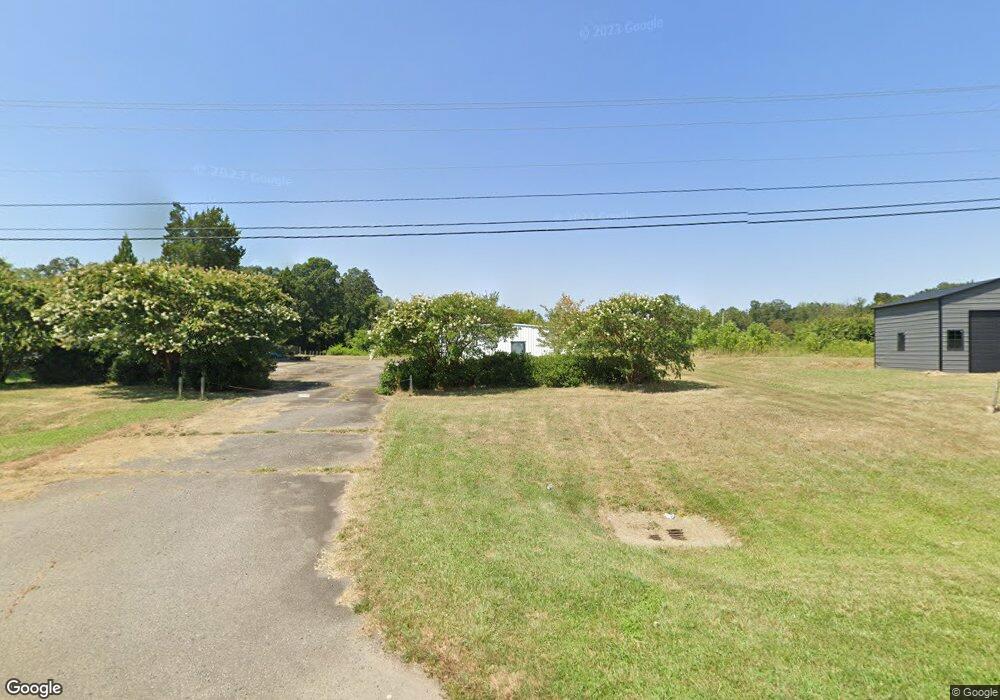
496 Highway 24 27 W Midland, NC 28107
Estimated Value: $309,650
--
Bed
--
Bath
5,250
Sq Ft
$59/Sq Ft
Est. Value
About This Home
This home is located at 496 Highway 24 27 W, Midland, NC 28107 and is currently estimated at $309,650, approximately $58 per square foot. 496 Highway 24 27 W is a home located in Cabarrus County with nearby schools including Bethel Elementary School, Hickory Ridge Middle, and Hickory Ridge High School.
Ownership History
Date
Name
Owned For
Owner Type
Purchase Details
Closed on
Oct 23, 2024
Sold by
Haileselassie Samuel and Trsema Barkot
Bought by
Adulis Llc
Current Estimated Value
Purchase Details
Closed on
Feb 18, 2022
Sold by
Letehawariat Teclemariam
Bought by
Haileselassie Samuel
Purchase Details
Closed on
May 7, 2004
Sold by
Cahoon Donald
Bought by
Yohannes Tzeggai and Yohannes Letai Teclemariam
Create a Home Valuation Report for This Property
The Home Valuation Report is an in-depth analysis detailing your home's value as well as a comparison with similar homes in the area
Home Values in the Area
Average Home Value in this Area
Purchase History
| Date | Buyer | Sale Price | Title Company |
|---|---|---|---|
| Adulis Llc | $300,000 | None Listed On Document | |
| Adulis Llc | $300,000 | None Listed On Document | |
| Haileselassie Samuel | -- | None Listed On Document | |
| Haileselassie Samuel | -- | None Listed On Document | |
| Haileselassie Samuel | -- | None Listed On Document | |
| Yohannes Tzeggai | $152,000 | -- |
Source: Public Records
Tax History Compared to Growth
Tax History
| Year | Tax Paid | Tax Assessment Tax Assessment Total Assessment is a certain percentage of the fair market value that is determined by local assessors to be the total taxable value of land and additions on the property. | Land | Improvement |
|---|---|---|---|---|
| 2025 | $2,715 | $401,670 | $131,160 | $270,510 |
| 2024 | $2,715 | $401,670 | $131,160 | $270,510 |
| 2023 | $2,877 | $342,490 | $109,300 | $233,190 |
| 2022 | $2,877 | $342,490 | $109,300 | $233,190 |
| 2021 | $2,774 | $342,490 | $109,300 | $233,190 |
| 2020 | $2,774 | $342,490 | $109,300 | $233,190 |
| 2019 | $2,296 | $283,470 | $81,530 | $201,940 |
| 2018 | $2,211 | $283,470 | $81,530 | $201,940 |
| 2017 | $2,154 | $283,470 | $81,530 | $201,940 |
Source: Public Records
Map
Nearby Homes
- 12350 Hartwood Rd
- 11354 Cedarvale Farm Pkwy
- 637 Iron Horse Ln
- 12467 Ritchie Rd
- 1465 Porters Ct
- 10072 Fox Trotter Ln
- 11131 McCamie Hill Place
- 945 Alvin Hough Rd
- 1423 Piper Ct
- 220 Alvin Hough Rd
- 10978 Sparkle Creek Dr
- 1358 Rolling Hills Ct
- 11247 Serenity Farm Dr
- 13501 Mullis Rd
- 10045 Carousel Corral Dr
- 10024 Fox Trotter Ln
- 11761 Crossroads Place
- 10803 McCamie Hill Place
- 10900 Sparkle Creek Dr
- 10911 Sparkle Creek Dr
- 462 Route 24
- 628 Nc-24 W Unit Home
- 462 Highway 24 27 W
- 556 Highway 24 27 W
- 420 Highway 24 27 W
- 532 State Highway 27
- 420 N Carolina 24
- 376 Highway 24 27 W
- 376 N Carolina 24
- 628 W Nc Hwy 24 27 Hwy Unit Land2
- 628-IO W Nc Hwy 24 27 Hwy
- 628 W Nc Hwy 24 27 Hwy Unit Lot 2
- 628 W Nc Hwy 24 27 Hwy Unit Lot 1
- 192 Route 24
- 668 Highway 24 27 W
- 628 SF W Nc Hwy 24 27 Hwy
- 628 Nc 24 W None Unit 49.27
- 628 Nc 24 W None Unit 38.5
- 628 Nc 24 W None Unit OI
- 628 Nc 24 W None Unit Lot 2