496 Louie Harmson Rd Center Point, LA 71323
Estimated Value: $148,000 - $280,600
--
Bed
--
Bath
--
Sq Ft
11.99
Acres
About This Home
This home is located at 496 Louie Harmson Rd, Center Point, LA 71323 and is currently estimated at $214,300. 496 Louie Harmson Rd is a home located in Avoyelles Parish with nearby schools including Lafargue Elementary School and Marksville High School.
Ownership History
Date
Name
Owned For
Owner Type
Purchase Details
Closed on
Apr 5, 2013
Sold by
Cottonport Bank
Bought by
Treadway Jeremy Wayne and Treadway Danielle D
Current Estimated Value
Purchase Details
Closed on
Jul 3, 2007
Sold by
Brown Stephen Ross and Brown Kimberly Hales
Bought by
Hicks Willie G
Home Financials for this Owner
Home Financials are based on the most recent Mortgage that was taken out on this home.
Original Mortgage
$81,510
Interest Rate
6.54%
Mortgage Type
Future Advance Clause Open End Mortgage
Create a Home Valuation Report for This Property
The Home Valuation Report is an in-depth analysis detailing your home's value as well as a comparison with similar homes in the area
Home Values in the Area
Average Home Value in this Area
Purchase History
| Date | Buyer | Sale Price | Title Company |
|---|---|---|---|
| Treadway Jeremy Wayne | $65,000 | None Available | |
| Hicks Willie G | $80,000 | None Available |
Source: Public Records
Mortgage History
| Date | Status | Borrower | Loan Amount |
|---|---|---|---|
| Previous Owner | Hicks Willie G | $81,510 |
Source: Public Records
Tax History Compared to Growth
Tax History
| Year | Tax Paid | Tax Assessment Tax Assessment Total Assessment is a certain percentage of the fair market value that is determined by local assessors to be the total taxable value of land and additions on the property. | Land | Improvement |
|---|---|---|---|---|
| 2024 | $1,340 | $23,900 | $1,040 | $22,860 |
| 2023 | $1,342 | $23,860 | $1,000 | $22,860 |
| 2022 | $1,342 | $23,860 | $1,000 | $22,860 |
| 2021 | $1,342 | $23,860 | $1,000 | $22,860 |
| 2020 | $1,342 | $23,860 | $1,000 | $22,860 |
| 2019 | $1,337 | $23,750 | $890 | $22,860 |
| 2018 | $257 | $3,500 | $500 | $3,000 |
| 2017 | $257 | $3,500 | $500 | $3,000 |
| 2015 | $255 | $3,500 | $500 | $3,000 |
| 2013 | $255 | $3,850 | $850 | $3,000 |
Source: Public Records
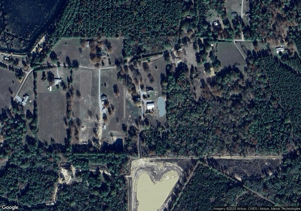
Map
Nearby Homes
- 1025 W Bryant Rd
- 632 W Bryant Rd
- 1353 E Bryant Rd
- 0 Highway 107 None
- 182 W Bryant Rd
- 0 Ridge Lot F Ln Unit 2428425
- 0 Hwy 107 Lot F Oak Ridge Lane of Oak Ridge Sub Unit 151456
- 0 Ridge Ln Unit Lot F 24009936
- 0 Louisiana 107
- 306 Highway 107
- 85 Jim Bryant Rd
- 274 Woodson Landing Rd
- 0 Old Beaubouef Rd
- 78 Lucas Rd
- 0 Nation Rd
- 438 Nation Rd
- 141 Mckay Ln
- TBD Hooper Rd
- 0B Philadelphia Rd
- 0A Philadelphia Rd
- 460 Louie Harmson Rd
- 459 Louie Harmson Rd
- 707 Louie Harmson Rd
- 540 Louie Harmson Rd
- 404 Louie Harmson Rd
- 576 Louie Harmson Rd
- 561 Louie Harmson Rd
- 379 Louie Harmson Rd
- 597 Louie Harmson Rd
- 346 Louie Harmson Rd
- 324 Louie Harmson Rd
- 611 Louie Harmson Rd
- 0 Louie Harmson Rd 1 65 Acres
- 0 Louie Harmson Rd 1 24 Acres
- 0 Louie Harmson Rd
- 625 Louie Harmson Rd
- 288 Louie Harmson Rd
- 654 Louie Harmson Rd
- 270 Louie Harmson Rd
- 244 Louie Harmson Rd