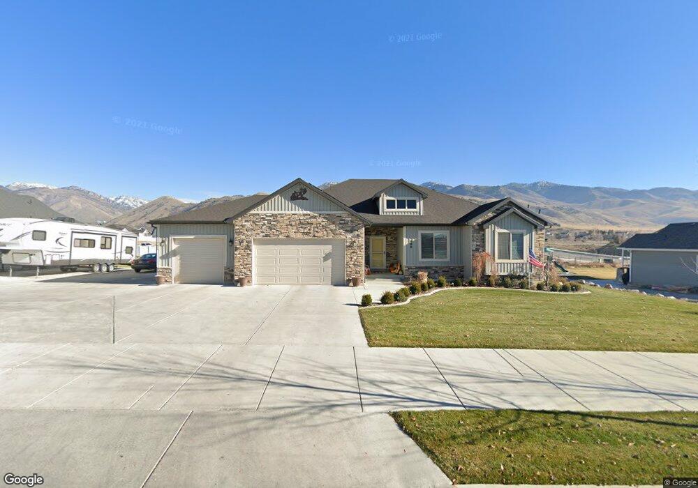
496 N 600 E Smithfield, UT 84335
Estimated Value: $618,000 - $730,000
2
Beds
3
Baths
3,625
Sq Ft
$182/Sq Ft
Est. Value
About This Home
This home is located at 496 N 600 E, Smithfield, UT 84335 and is currently estimated at $660,746, approximately $182 per square foot. 496 N 600 E is a home located in Cache County with nearby schools including Birch Creek School, North Cache Middle School, and White Pine Middle School.
Ownership History
Date
Name
Owned For
Owner Type
Purchase Details
Closed on
Dec 6, 2019
Sold by
Hyer Zane and Hyer Susan
Bought by
Hyer Zane B and Hyer Susan
Current Estimated Value
Purchase Details
Closed on
Jul 7, 2015
Sold by
Ironwood Development Group Lc
Bought by
Hyer Zane and Hyer Susan
Home Financials for this Owner
Home Financials are based on the most recent Mortgage that was taken out on this home.
Original Mortgage
$159,000
Outstanding Balance
$123,151
Interest Rate
3.83%
Mortgage Type
Construction
Estimated Equity
$537,595
Create a Home Valuation Report for This Property
The Home Valuation Report is an in-depth analysis detailing your home's value as well as a comparison with similar homes in the area
Home Values in the Area
Average Home Value in this Area
Purchase History
| Date | Buyer | Sale Price | Title Company |
|---|---|---|---|
| Hyer Zane B | -- | None Available | |
| Hyer Zane | -- | Cache Title Logan |
Source: Public Records
Mortgage History
| Date | Status | Borrower | Loan Amount |
|---|---|---|---|
| Open | Hyer Zane | $159,000 |
Source: Public Records
Tax History
| Year | Tax Paid | Tax Assessment Tax Assessment Total Assessment is a certain percentage of the fair market value that is determined by local assessors to be the total taxable value of land and additions on the property. | Land | Improvement |
|---|---|---|---|---|
| 2025 | $2,776 | $371,640 | $0 | $0 |
| 2024 | $3,465 | $435,105 | $0 | $0 |
| 2023 | $3,588 | $426,085 | $0 | $0 |
| 2022 | $3,646 | $426,085 | $0 | $0 |
| 2021 | $2,438 | $435,234 | $82,800 | $352,434 |
| 2020 | $2,337 | $389,265 | $82,800 | $306,465 |
| 2019 | $2,379 | $377,675 | $71,210 | $306,465 |
| 2018 | $2,246 | $344,840 | $71,210 | $273,630 |
| 2017 | $2,176 | $182,495 | $0 | $0 |
| 2016 | $2,214 | $182,000 | $0 | $0 |
| 2015 | $867 | $71,210 | $0 | $0 |
Source: Public Records
Map
Nearby Homes
- 510 N 600 E
- 476 N 600 E
- 522 N 600 E
- 587 E 480 N
- 507 N 600 E
- 828 Upper Canyon Rd
- 586 E 480 N Unit 11
- 586 E 480 N
- 519 N 600 E Unit 8
- 629 E Canyon Rim Rd
- 494 N 570 E
- 538 N 600 E
- 510 N 570 E
- 620 E 550 N
- 620 E 550 N Unit 10
- 625 E Canyon Rim Rd
- 630 E 550 N Unit 9
- 570 E 480 N Unit 12
- 635 E Canyon Rim Rd Unit 40
- 522 N 570 E
Your Personal Tour Guide
Ask me questions while you tour the home.