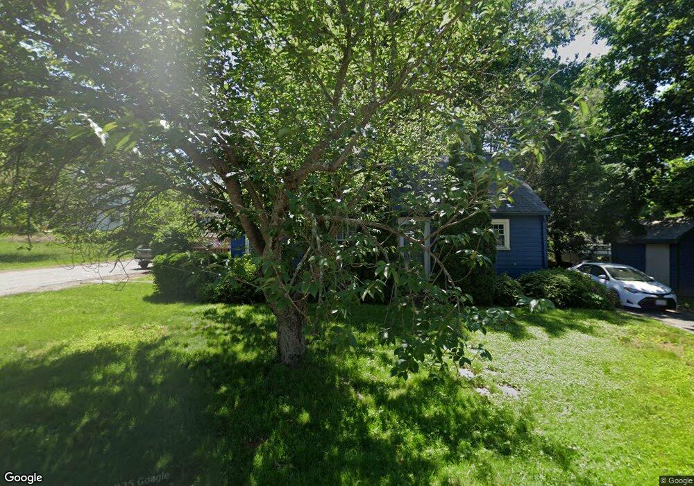
496 Sherman St Canton, MA 02021
Estimated Value: $611,000 - $675,000
3
Beds
2
Baths
1,537
Sq Ft
$409/Sq Ft
Est. Value
About This Home
This home is located at 496 Sherman St, Canton, MA 02021 and is currently estimated at $628,871, approximately $409 per square foot. 496 Sherman St is a home located in Norfolk County with nearby schools including Canton High School, St. John the Evangelist School, and Chabad Day School of School.
Ownership History
Date
Name
Owned For
Owner Type
Purchase Details
Closed on
Apr 30, 2003
Sold by
Wellington James P
Bought by
Lee Timohty H and Lee Kimberly S
Current Estimated Value
Home Financials for this Owner
Home Financials are based on the most recent Mortgage that was taken out on this home.
Original Mortgage
$270,000
Outstanding Balance
$117,604
Interest Rate
5.82%
Mortgage Type
Purchase Money Mortgage
Estimated Equity
$511,267
Purchase Details
Closed on
Mar 14, 1994
Sold by
Shepard Stephen C and Shepard Pamela M
Bought by
Wellington James P
Create a Home Valuation Report for This Property
The Home Valuation Report is an in-depth analysis detailing your home's value as well as a comparison with similar homes in the area
Home Values in the Area
Average Home Value in this Area
Purchase History
| Date | Buyer | Sale Price | Title Company |
|---|---|---|---|
| Lee Timohty H | $300,000 | -- | |
| Wellington James P | $165,000 | -- |
Source: Public Records
Mortgage History
| Date | Status | Borrower | Loan Amount |
|---|---|---|---|
| Open | Lee Timohty H | $270,000 | |
| Closed | Wellington James P | $0 |
Source: Public Records
Tax History
| Year | Tax Paid | Tax Assessment Tax Assessment Total Assessment is a certain percentage of the fair market value that is determined by local assessors to be the total taxable value of land and additions on the property. | Land | Improvement |
|---|---|---|---|---|
| 2025 | $4,994 | $505,000 | $264,000 | $241,000 |
| 2024 | $4,842 | $485,700 | $253,900 | $231,800 |
| 2023 | $4,767 | $451,000 | $253,900 | $197,100 |
| 2022 | $4,631 | $408,000 | $241,800 | $166,200 |
| 2021 | $4,513 | $369,900 | $219,800 | $150,100 |
| 2020 | $4,380 | $358,100 | $209,300 | $148,800 |
| 2019 | $4,121 | $332,300 | $179,700 | $152,600 |
| 2018 | $3,914 | $315,100 | $162,600 | $152,500 |
| 2017 | $3,953 | $309,100 | $159,500 | $149,600 |
| 2016 | $3,892 | $304,300 | $155,500 | $148,800 |
| 2015 | $3,806 | $296,900 | $151,000 | $145,900 |
Source: Public Records
Map
Nearby Homes
- 50 Coppersmith Way Unit 211
- 29 Maple St Unit G
- 30 Coppersmith Way Unit 209
- 30 Coppersmith Way Unit 313
- 30 Coppersmith Way Unit 112
- 30 Coppersmith Way Unit 109
- 30 Coppersmith Way Unit 206
- 30 Coppersmith Way Unit 110
- 30 Coppersmith Way Unit 113
- 30 Coppersmith Way Unit 104
- 30 Coppersmith Way Unit 213
- 30 Coppersmith Way Unit 407
- 30 Coppersmith Way Unit 208
- 30 Coppersmith Way Unit 309
- 30 Coppersmith Way Unit 311
- 30 Coppersmith Way Unit 201
- 30 Coppersmith Way Unit 301
- 30 Coppersmith Way Unit 111
- 30 Coppersmith Way Unit 408
- 30 Coppersmith Way Unit 505
- 3 Sanford Rd
- 500 Sherman St
- 3 Dewitt Ave
- 493 Sherman St
- 1 Dewitt Ave
- 502 Sherman St Unit 28
- 6 Sanford Rd
- 491 Sherman St
- 490 Sherman St
- 2 Reynolds St
- 504 Sherman St Unit 15
- 504 Sherman St Unit 23
- 3 Reynolds St
- 10 Sanford Rd
- 2 Burns Ave
- 4 Reynolds St
- 4 Reynolds St
- 20 Sanford Rd
- 1 Burns Ave
- 5 Reynolds St
Your Personal Tour Guide
Ask me questions while you tour the home.