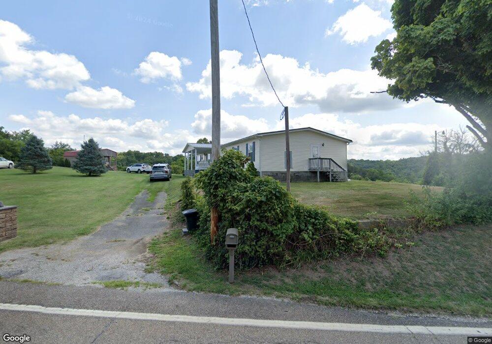
496 State Route 790 Scottown, OH 45678
Estimated Value: $158,000 - $288,000
3
Beds
1
Bath
2,160
Sq Ft
$93/Sq Ft
Est. Value
About This Home
This home is located at 496 State Route 790, Scottown, OH 45678 and is currently estimated at $201,590, approximately $93 per square foot. 496 State Route 790 is a home located in Lawrence County with nearby schools including Symmes Valley Elementary School and Symmes Valley High School.
Ownership History
Date
Name
Owned For
Owner Type
Purchase Details
Closed on
Mar 26, 2014
Sold by
Myers Rodney Jaye
Bought by
Jones Walter F
Current Estimated Value
Purchase Details
Closed on
May 31, 2005
Sold by
Myers Ronald H and Myers Nancy
Bought by
Moyers Joshua Eugene
Purchase Details
Closed on
Oct 28, 1996
Sold by
Myers Ronald H and Fra D
Bought by
Myers Ronald H
Create a Home Valuation Report for This Property
The Home Valuation Report is an in-depth analysis detailing your home's value as well as a comparison with similar homes in the area
Home Values in the Area
Average Home Value in this Area
Purchase History
| Date | Buyer | Sale Price | Title Company |
|---|---|---|---|
| Jones Walter F | $159,900 | None Available | |
| Moyers Joshua Eugene | -- | None Available | |
| Myers Ronald H | -- | -- |
Source: Public Records
Tax History Compared to Growth
Tax History
| Year | Tax Paid | Tax Assessment Tax Assessment Total Assessment is a certain percentage of the fair market value that is determined by local assessors to be the total taxable value of land and additions on the property. | Land | Improvement |
|---|---|---|---|---|
| 2024 | -- | $24,600 | $19,450 | $5,150 |
| 2023 | $368 | $24,600 | $19,450 | $5,150 |
| 2022 | $366 | $24,600 | $19,450 | $5,150 |
| 2021 | $302 | $15,420 | $11,660 | $3,760 |
| 2020 | $318 | $15,420 | $11,660 | $3,760 |
| 2019 | $334 | $15,420 | $11,660 | $3,760 |
| 2018 | $374 | $15,420 | $11,660 | $3,760 |
| 2017 | $374 | $15,420 | $11,660 | $3,760 |
| 2016 | $345 | $15,420 | $11,660 | $3,760 |
| 2015 | $626 | $26,020 | $11,620 | $14,400 |
| 2014 | $625 | $26,020 | $11,620 | $14,400 |
| 2013 | $625 | $26,020 | $11,620 | $14,400 |
Source: Public Records
Map
Nearby Homes
- 10727 B Lincoln Pike
- 10727 B Lincoln Pike
- X Lincoln Pike
- 0 Ohio 790
- 000 Lincoln Pike
- 0 Lincoln Pike
- 0 County Road 213
- 174 Township Road 74
- 0 Rocky Fork Rd
- 0 Johns Creek Road Lot Unit Wp001
- 321 Township Road 75 S
- 1975 Boggs Rd
- 1790 Hull Rd
- 1865 Hull Rd
- 1865 Hull Rd Unit (Tract 2 Woods Wayne
- 784 Township Road 209
- 5188 State Route 775
- 814 Wells Run Rd
- 13498 County Road 2
- 0 Ohio 775
- 541 State Route 790
- 6771 State Route 790
- 387 State Route 790
- 378 State Route 790
- 370 State Route 790
- 6622 State Route 790
- 6544 State Route 790
- 10729a Lincoln Pike
- 10729 1/2 Lincoln Pike
- 10729 Lincoln Pike
- 90 State Route 790
- 6453 State Route 790
- 6453 Ohio 790
- 23187 State Route 775
- 9802 County Road 37
- State Rt 790
- 9873 County Road 37
- 23052 State Route 775
- 9586 County Road 37
- 9288 County Road 37