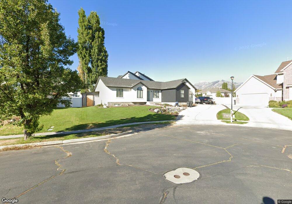
496 W 990 N American Fork, UT 84003
Estimated Value: $564,000 - $686,000
5
Beds
3
Baths
2,794
Sq Ft
$224/Sq Ft
Est. Value
About This Home
This home is located at 496 W 990 N, American Fork, UT 84003 and is currently estimated at $624,765, approximately $223 per square foot. 496 W 990 N is a home located in Utah County with nearby schools including Shelley Elementary School, American Fork Junior High School, and American Fork High School.
Ownership History
Date
Name
Owned For
Owner Type
Purchase Details
Closed on
Aug 20, 2001
Sold by
Allen Mark S
Bought by
Allen Mark S and Allen Corinne N
Current Estimated Value
Home Financials for this Owner
Home Financials are based on the most recent Mortgage that was taken out on this home.
Original Mortgage
$164,000
Outstanding Balance
$64,251
Interest Rate
7.21%
Estimated Equity
$560,514
Purchase Details
Closed on
May 17, 2000
Sold by
Patterson Construction Inc
Bought by
Allen Mark S
Home Financials for this Owner
Home Financials are based on the most recent Mortgage that was taken out on this home.
Original Mortgage
$152,519
Interest Rate
8.18%
Mortgage Type
Seller Take Back
Create a Home Valuation Report for This Property
The Home Valuation Report is an in-depth analysis detailing your home's value as well as a comparison with similar homes in the area
Home Values in the Area
Average Home Value in this Area
Purchase History
| Date | Buyer | Sale Price | Title Company |
|---|---|---|---|
| Allen Mark S | -- | Guardian Title Ins Agency | |
| Allen Mark S | -- | First American Title Co |
Source: Public Records
Mortgage History
| Date | Status | Borrower | Loan Amount |
|---|---|---|---|
| Open | Allen Mark S | $164,000 | |
| Closed | Allen Mark S | $152,519 |
Source: Public Records
Tax History Compared to Growth
Tax History
| Year | Tax Paid | Tax Assessment Tax Assessment Total Assessment is a certain percentage of the fair market value that is determined by local assessors to be the total taxable value of land and additions on the property. | Land | Improvement |
|---|---|---|---|---|
| 2025 | $2,705 | $317,295 | $232,600 | $344,300 |
| 2024 | $2,705 | $300,575 | $0 | $0 |
| 2023 | $2,593 | $305,470 | $0 | $0 |
| 2022 | $2,582 | $300,135 | $0 | $0 |
| 2021 | $2,211 | $401,500 | $166,900 | $234,600 |
| 2020 | $2,068 | $364,200 | $149,000 | $215,200 |
| 2019 | $1,919 | $349,500 | $137,900 | $211,600 |
| 2018 | $1,831 | $318,900 | $130,400 | $188,500 |
| 2017 | $1,705 | $160,270 | $0 | $0 |
| 2016 | $1,699 | $148,390 | $0 | $0 |
| 2015 | $1,665 | $137,995 | $0 | $0 |
| 2014 | $1,526 | $124,795 | $0 | $0 |
Source: Public Records
Map
Nearby Homes
- 471 W 1040 N
- 987 N 410 W
- 425 W 1120 N
- 914 N 400 W Unit A
- 3889 W 950 Cir N Unit 366
- 344 W 1080 N
- 602 W 860 N
- 984 N 300 W
- 3935 W 1000 N Unit 438
- 3983 W 1000 N Unit 442
- 4007 W 1000 N
- 3947 W 1000 N Unit 439
- 3971 W 1000 N Unit 441
- 3959 W 1000 N
- 356 W 1300 N
- 822 W 800 St N Unit LOT319
- 822 N 860 W Unit 317
- 796 N 200 W
- 641 N 420 W
- 782 N 200 W
- 988 N 500 W
- 471 W 1040 N Unit 35
- 504 W 990 N
- 485 W 1040 N
- 1039 N 420 W
- 976 N 500 W
- 1047 N 420 W
- 373 W 960 N Unit 216C
- 448 W 960 N Unit 206E
- 442 W 960 N Unit 206C
- 438 W 960 N Unit 206B
- 434 W 960 N Unit 206A
- 444 W 960 N Unit 206D
- 366 W 960 N Unit 213B
- 374 W 960 N Unit 213-E
- 374 W 960 N
- 368 W 960 N Unit 213C
- 512 W 990 N
- 419 W 1040 N
- 499 W 1040 N