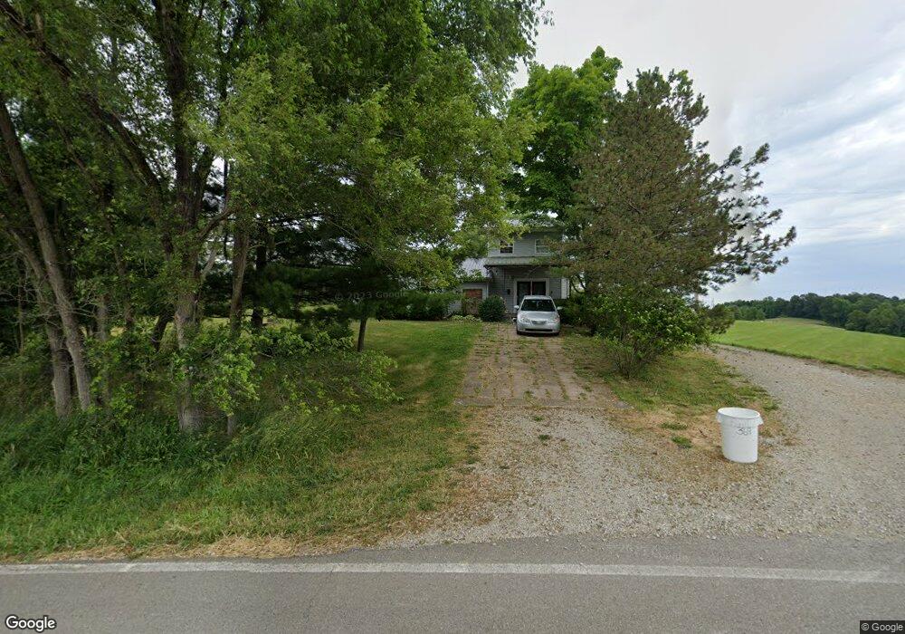
4960 S State Route 555 Chesterhill, OH 43728
Estimated Value: $96,000 - $330,000
1
Bed
1
Bath
1,588
Sq Ft
$109/Sq Ft
Est. Value
About This Home
This home is located at 4960 S State Route 555, Chesterhill, OH 43728 and is currently estimated at $173,372, approximately $109 per square foot. 4960 S State Route 555 is a home located in Morgan County with nearby schools including Morgan High School.
Ownership History
Date
Name
Owned For
Owner Type
Purchase Details
Closed on
Oct 15, 2018
Sold by
Clark Trent R and Clark Kathy J
Bought by
Brown Jeremiah A
Current Estimated Value
Home Financials for this Owner
Home Financials are based on the most recent Mortgage that was taken out on this home.
Original Mortgage
$108,007
Outstanding Balance
$96,100
Interest Rate
5.5%
Mortgage Type
FHA
Estimated Equity
$77,272
Purchase Details
Closed on
Jun 8, 1994
Bought by
Clark Trent R and Clark Kathy J
Create a Home Valuation Report for This Property
The Home Valuation Report is an in-depth analysis detailing your home's value as well as a comparison with similar homes in the area
Home Values in the Area
Average Home Value in this Area
Purchase History
| Date | Buyer | Sale Price | Title Company |
|---|---|---|---|
| Brown Jeremiah A | $110,000 | None Available | |
| Clark Trent R | $11,000 | -- |
Source: Public Records
Mortgage History
| Date | Status | Borrower | Loan Amount |
|---|---|---|---|
| Open | Brown Jeremiah A | $108,007 |
Source: Public Records
Tax History Compared to Growth
Tax History
| Year | Tax Paid | Tax Assessment Tax Assessment Total Assessment is a certain percentage of the fair market value that is determined by local assessors to be the total taxable value of land and additions on the property. | Land | Improvement |
|---|---|---|---|---|
| 2024 | $890 | $28,330 | $4,190 | $24,140 |
| 2023 | $890 | $19,170 | $3,260 | $15,910 |
| 2022 | $594 | $19,170 | $3,260 | $15,910 |
| 2021 | $600 | $19,170 | $3,260 | $15,910 |
| 2019 | $556 | $17,030 | $3,100 | $13,930 |
| 2018 | $534 | $17,030 | $3,100 | $13,930 |
| 2017 | $551 | $17,182 | $2,688 | $14,494 |
| 2016 | $553 | $17,182 | $2,688 | $14,494 |
| 2015 | $552 | $17,182 | $2,688 | $14,494 |
| 2014 | $585 | $17,182 | $2,688 | $14,494 |
| 2013 | $886 | $17,182 | $2,688 | $14,494 |
Source: Public Records
Map
Nearby Homes
- 3205 Goshen Run Rd
- 7.38 acres County Road 13
- 8445 Pisgah Church Ln
- 8445 Pigsah Church Ln
- 10219 Paulette Dr
- 581 Butler Rd
- 1445 E Branch Rd
- 1445 E Branch Rd Unit R
- 0 Ohio 555 Unit 5146049
- 7600 Marion St
- Lambert Rd
- 781 Downing Rd
- 681 Downing Rd
- 0 Downing Rd
- 1673 S State Route 377
- 360 Glass Rd NW
- 11829 Red Rock Rd
- 11789 Congress Run Rd
- 14500 Wolfe Rd
- 0 Coler Rd
- 4960 S State Route 555
- 4989 S State Route 555
- 4930 S State Route 555
- 4955 S State Route 555
- 4945 S State Route 555
- 4875 S State Route 555
- 5061 Old Grade Rd
- 5075 Old Grade Rd
- 4757 S State Route 555
- 5200 Old Grade Rd
- 4805 Pounds Rd
- 5522 Old Grade Rd
- 5520 Old Grade Rd
- 5215 Pounds Rd
- 5235 Pounds Rd
- 5235 Pounds Rd
- 5523 Old Grade Rd
- 5380 Westland Rd
- 5380 Westland Rd
- 5730 Old Grade Rd