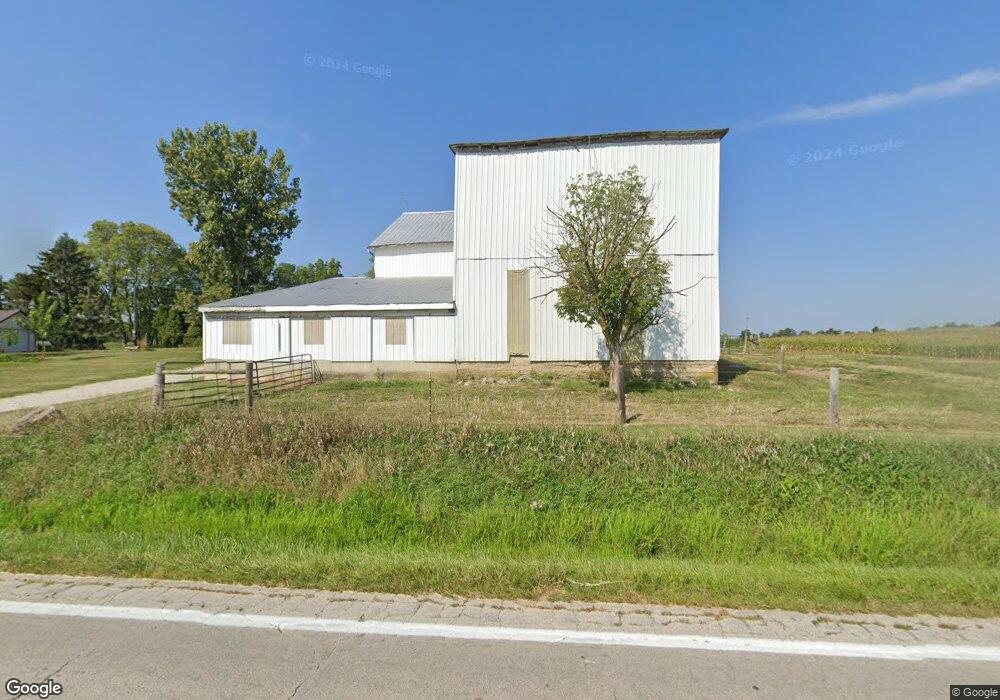
4961 State Route 726 Eldorado, OH 45321
Estimated Value: $337,000 - $1,047,402
3
Beds
1
Bath
2,260
Sq Ft
$306/Sq Ft
Est. Value
About This Home
This home is located at 4961 State Route 726, Eldorado, OH 45321 and is currently estimated at $692,201, approximately $306 per square foot. 4961 State Route 726 is a home located in Preble County with nearby schools including National Trail Elementary School, National Trail Middle School, and National Trail High School.
Ownership History
Date
Name
Owned For
Owner Type
Purchase Details
Closed on
Mar 19, 2018
Sold by
Harris David and Harris Mann Annette
Bought by
Harris Doug and Harris Erin
Current Estimated Value
Purchase Details
Closed on
Mar 12, 2018
Sold by
Harris Anna Belle
Bought by
Harris Doug and Harris Erin
Purchase Details
Closed on
Feb 1, 2018
Sold by
Kalil Edmund H
Bought by
Harris David Alan and Harris Mann Annette Kay
Purchase Details
Closed on
Jan 10, 2018
Sold by
Harris David Alan and Harris Mann Annette Kay
Bought by
Kalil Edmund H
Purchase Details
Closed on
Apr 14, 2017
Bought by
Harris David Alan Trustee @2 Harris
Purchase Details
Closed on
Mar 3, 2008
Sold by
Harris Anna Belle
Bought by
Harris Anna Belle and Harris David Alan
Purchase Details
Closed on
Jan 17, 2007
Sold by
Estate Of Gilbert J Harris
Bought by
Harris David Alan and Harris Mann Annette Kay
Purchase Details
Closed on
Nov 13, 1987
Bought by
Harris Anna Belle @3 Harris David A
Create a Home Valuation Report for This Property
The Home Valuation Report is an in-depth analysis detailing your home's value as well as a comparison with similar homes in the area
Purchase History
| Date | Buyer | Sale Price | Title Company |
|---|---|---|---|
| Harris Doug | -- | None Available | |
| Harris Doug | -- | None Available | |
| Harris David Alan | -- | None Available | |
| Kalil Edmund H | -- | None Available | |
| Harris David Alan Trustee @2 Harris | -- | -- | |
| Harris Anna Belle | -- | Attorney | |
| Harris David Alan | -- | None Available | |
| Harris Anna Belle @3 Harris David A | $82,000 | -- |
Source: Public Records
Tax History
| Year | Tax Paid | Tax Assessment Tax Assessment Total Assessment is a certain percentage of the fair market value that is determined by local assessors to be the total taxable value of land and additions on the property. | Land | Improvement |
|---|---|---|---|---|
| 2024 | $4,779 | $275,470 | $203,540 | $71,930 |
| 2023 | $4,745 | $275,470 | $203,540 | $71,930 |
| 2022 | $3,364 | $91,380 | $37,370 | $54,010 |
| 2021 | $3,584 | $220,880 | $166,870 | $54,010 |
| 2020 | $3,458 | $220,880 | $166,870 | $54,010 |
| 2019 | $3,612 | $200,680 | $158,920 | $41,760 |
| 2018 | $3,594 | $200,680 | $158,920 | $41,760 |
| 2017 | $3,643 | $209,980 | $168,220 | $41,760 |
| 2016 | $3,837 | $175,640 | $141,090 | $34,550 |
| 2014 | $2,486 | $176,440 | $141,090 | $35,350 |
| 2013 | $2,486 | $148,190 | $112,840 | $35,350 |
Source: Public Records
Map
Nearby Homes
- 0 Lewisburg Western Rd
- 1440 Surface Rd
- 6007 Murray Rd
- 250 Frederick St
- 410 N Main St
- 1016 Alexander Rd
- Lot 6 Ridgeview Dr
- Lot 3 Ridgeview Dr
- Lot 7 Ridgeview Dr
- Lot 13 Ridgeview Dr
- 6897 U S 40
- 3127 Upshur Northern Rd
- 1213 W Holtzmuller Rd
- 119 W Orchard St
- 2086 Scheying Rd
- 2294 U S 40
- 6670 Murray Rd
- 217 Orchard St
- 210 High St
- 0 OTTERBEIN-ITHACA Preble Co Butler Township
- 4907 State Route 726
- 4775 State Route 726
- 2370 State Route 40
- 2830 State Route 40 W
- 2830 U S 40
- 2830 State Route 40
- 2830 Us Route 40
- 2830 State Route 40
- 2293 State Route 40
- 4598 State Route 726
- 2974 State Route 40
- 2125 State Route 40
- 5557 State Route 726
- 3122 State Route 40
- 3150 State Route 40
- 3291 State Route 40
- 3190 State Route 40
- 5692 State Route 726
- 1914 State Route 40
- 2282 State Route 40
Your Personal Tour Guide
Ask me questions while you tour the home.