4962 Johnson St Prole, IA 50229
Warren County NeighborhoodEstimated Value: $461,000 - $649,000
3
Beds
6
Baths
1,756
Sq Ft
$313/Sq Ft
Est. Value
About This Home
This home is located at 4962 Johnson St, Prole, IA 50229 and is currently estimated at $549,517, approximately $312 per square foot. 4962 Johnson St is a home located in Warren County with nearby schools including Martensdale Elementary School and Martensdale-St. Marys Junior/Senior High School.
Ownership History
Date
Name
Owned For
Owner Type
Purchase Details
Closed on
Jun 15, 2005
Sold by
Iowa Heartland Dreams Llc
Bought by
Murphy William D and Murphy Stephanie L
Current Estimated Value
Home Financials for this Owner
Home Financials are based on the most recent Mortgage that was taken out on this home.
Original Mortgage
$250,000
Interest Rate
5.86%
Mortgage Type
New Conventional
Create a Home Valuation Report for This Property
The Home Valuation Report is an in-depth analysis detailing your home's value as well as a comparison with similar homes in the area
Home Values in the Area
Average Home Value in this Area
Purchase History
| Date | Buyer | Sale Price | Title Company |
|---|---|---|---|
| Murphy William D | $40,000 | None Available |
Source: Public Records
Mortgage History
| Date | Status | Borrower | Loan Amount |
|---|---|---|---|
| Previous Owner | Murphy William D | $250,000 |
Source: Public Records
Tax History
| Year | Tax Paid | Tax Assessment Tax Assessment Total Assessment is a certain percentage of the fair market value that is determined by local assessors to be the total taxable value of land and additions on the property. | Land | Improvement |
|---|---|---|---|---|
| 2025 | $6,212 | $507,700 | $150,600 | $357,100 |
| 2024 | $6,038 | $504,900 | $68,800 | $436,100 |
| 2023 | $5,178 | $504,900 | $68,800 | $436,100 |
| 2022 | $5,130 | $381,200 | $67,500 | $313,700 |
| 2021 | $5,276 | $381,200 | $67,500 | $313,700 |
| 2020 | $5,276 | $363,100 | $67,500 | $295,600 |
| 2019 | $5,038 | $363,100 | $67,500 | $295,600 |
| 2018 | $4,996 | $344,900 | $0 | $0 |
| 2017 | $4,996 | $344,900 | $0 | $0 |
| 2016 | $4,662 | $319,800 | $0 | $0 |
| 2015 | $4,662 | $319,800 | $0 | $0 |
| 2014 | $4,768 | $322,800 | $0 | $0 |
Source: Public Records
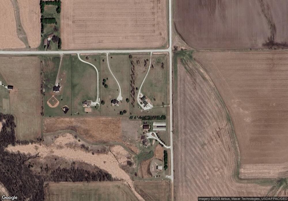
Map
Nearby Homes
- 5016 Highway 92 None
- 01 Kennedy St
- 210 School St
- 1104 30th Ave
- 000 30th Ave
- 11584 76th Ln
- 16359 Kennedy St
- TBD Lot 8 Hogue Subdivision St
- Lot 5 78th Ln
- 7970 Jesup St
- Lot 8 Happy Trail
- 000 Happy Trail
- TBD 28th Ave
- 7947 50th Ave
- 7743 43rd Ave
- 5867 Gear St
- 7890 86th Ln
- 7505 86th Ln
- 7555 86th Ln
- 7500 86th Ln
- 11684 50th Ave
- 4874 Johnson St
- 4820 Johnson St
- 11688 50th Ave
- 0 50th Ave
- 4788 Johnson St
- 4761 Johnson St
- 0 Johnson & Hwy R45 Unit 5478908
- 4650 Johnson St
- 0 Johnson St Unit 521240
- 5146 Kennedy St
- 11985 50th Ave
- 4606 Johnson St
- 0 Eagle Creek Windwood Tr Unit 350718
- 11230 50th Ave
- 4538 Johnson St
- 11145 50th Ave
- 5146 Kennedy St
- 4354 Johnson St
- 5316 Kennedy St
Your Personal Tour Guide
Ask me questions while you tour the home.