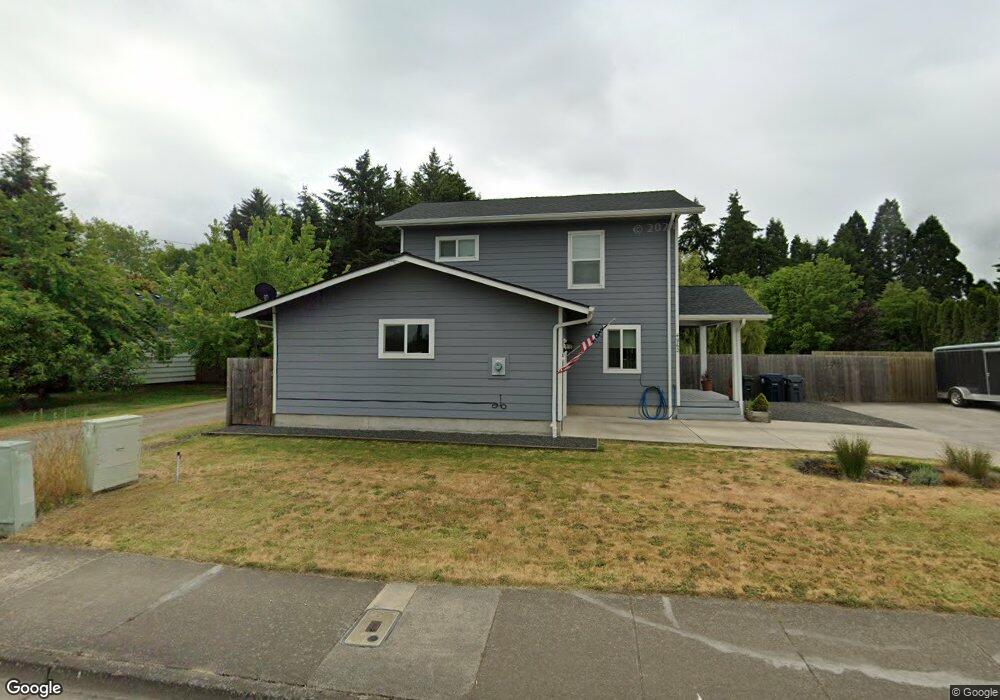
4962 Royal Ave Eugene, OR 97402
Bethel NeighborhoodEstimated Value: $370,000 - $553,000
3
Beds
2
Baths
1,296
Sq Ft
$330/Sq Ft
Est. Value
About This Home
This home is located at 4962 Royal Ave, Eugene, OR 97402 and is currently estimated at $427,423, approximately $329 per square foot. 4962 Royal Ave is a home with nearby schools including Prairie Mountain School and Willamette High School.
Ownership History
Date
Name
Owned For
Owner Type
Purchase Details
Closed on
Feb 23, 2017
Sold by
Springfield Eugene Habitat For Humanity
Bought by
Escalante Louis R and Escalante Monica M
Current Estimated Value
Home Financials for this Owner
Home Financials are based on the most recent Mortgage that was taken out on this home.
Original Mortgage
$156,600
Outstanding Balance
$129,053
Interest Rate
4.12%
Mortgage Type
Stand Alone First
Estimated Equity
$298,370
Purchase Details
Closed on
Feb 10, 2012
Sold by
Frias Pamela E
Bought by
Habitat For Humanity Springfield Eugene
Create a Home Valuation Report for This Property
The Home Valuation Report is an in-depth analysis detailing your home's value as well as a comparison with similar homes in the area
Home Values in the Area
Average Home Value in this Area
Purchase History
| Date | Buyer | Sale Price | Title Company |
|---|---|---|---|
| Escalante Louis R | $165,000 | Cascade Title Company | |
| Habitat For Humanity Springfield Eugene | $25,000 | Fidelity National Title Insu |
Source: Public Records
Mortgage History
| Date | Status | Borrower | Loan Amount |
|---|---|---|---|
| Open | Escalante Louis R | $156,600 |
Source: Public Records
Tax History
| Year | Tax Paid | Tax Assessment Tax Assessment Total Assessment is a certain percentage of the fair market value that is determined by local assessors to be the total taxable value of land and additions on the property. | Land | Improvement |
|---|---|---|---|---|
| 2025 | $3,614 | $207,775 | -- | -- |
| 2024 | $3,523 | $201,724 | -- | -- |
| 2023 | $3,523 | $195,849 | $0 | $0 |
| 2022 | $3,279 | $190,145 | $0 | $0 |
| 2021 | $3,210 | $184,607 | $0 | $0 |
| 2020 | $3,117 | $179,231 | $0 | $0 |
| 2019 | $2,963 | $174,011 | $0 | $0 |
| 2018 | $2,881 | $124,901 | $0 | $0 |
| 2017 | $2,096 | $124,901 | $0 | $0 |
| 2016 | -- | $33,326 | $0 | $0 |
| 2015 | $550 | $32,355 | $0 | $0 |
| 2014 | $542 | $31,413 | $0 | $0 |
Source: Public Records
Map
Nearby Homes
- 4900 Royal Ave Unit 105
- 4900 Royal Ave Unit SP13
- 4749 Royal Ave
- 5260 Forest Ln
- 4985 Cone Ave
- 749 St Charles St
- 735 St Charles St
- 723 St Charles St
- 4941 Stagecoach Rd
- 715 St Charles St
- 5254 Forest Ln
- 683 Saint Charles St
- 1199 N Terry St
- 1199 N Terry St Unit 248
- 1199 N Terry St Unit 259
- 1199 N Terry St Unit 139
- 1199 N Terry St Unit 258
- 1199 N Terry St Unit SP113
- 1199 N Terry St Unit 309
- 1199 N Terry St Unit SP282
- 4966 Royal Ave
- 4930 Royal Ave
- 4970 Royal Ave
- 10 Unknown
- 4924 Royal Ave
- 4975 Royal Ave
- 4950 Royal Ave
- 4950 Royal Ave Unit 3
- 4950 Royal Ave Unit 2
- 4950 Royal Ave Unit 1
- 5046 Royal Ave
- 5042 Royal Ave
- 4995 Royal Ave
- 5038 Royal Ave
- 5035 Royal Ave
- 5015 Royal Ave
- 5034 Royal Ave
- 5061 Royal Ave
- 5062 Royal Ave
- 5065 Royal Ave
Your Personal Tour Guide
Ask me questions while you tour the home.