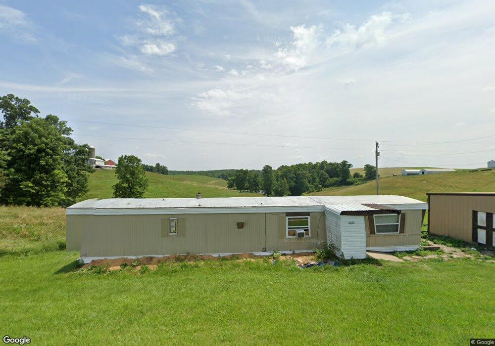
49620 State Route 26 Beallsville, OH 43716
Estimated Value: $154,000 - $598,957
--
Bed
1
Bath
1,680
Sq Ft
$224/Sq Ft
Est. Value
About This Home
This home is located at 49620 State Route 26, Beallsville, OH 43716 and is currently estimated at $376,479, approximately $224 per square foot. 49620 State Route 26 is a home located in Monroe County with nearby schools including Beallsville Elementary School, River Elementary School, and Beallsville High School.
Ownership History
Date
Name
Owned For
Owner Type
Purchase Details
Closed on
Feb 6, 2025
Sold by
Watson Scot Monroe and Watson Mary L
Bought by
Mineral Development Inc
Current Estimated Value
Purchase Details
Closed on
Sep 14, 2022
Sold by
Bach James A
Bought by
Bach Monroe And Suns Llc
Purchase Details
Closed on
Jan 15, 2020
Sold by
Keybank National Association
Bought by
Parry Richard
Create a Home Valuation Report for This Property
The Home Valuation Report is an in-depth analysis detailing your home's value as well as a comparison with similar homes in the area
Home Values in the Area
Average Home Value in this Area
Purchase History
| Date | Buyer | Sale Price | Title Company |
|---|---|---|---|
| Mineral Development Inc | -- | None Listed On Document | |
| Bach Monroe And Suns Llc | $1,500 | -- | |
| Bach Monroe And Suns Llc | $1,500 | None Listed On Document | |
| Parry Richard | -- | None Available |
Source: Public Records
Tax History Compared to Growth
Tax History
| Year | Tax Paid | Tax Assessment Tax Assessment Total Assessment is a certain percentage of the fair market value that is determined by local assessors to be the total taxable value of land and additions on the property. | Land | Improvement |
|---|---|---|---|---|
| 2024 | $5,214 | $184,100 | $27,340 | $156,760 |
| 2023 | $5,214 | $184,100 | $27,340 | $156,760 |
| 2022 | $5,378 | $184,100 | $27,340 | $156,760 |
| 2021 | $5,329 | $180,670 | $23,640 | $157,030 |
| 2020 | $5,331 | $180,670 | $23,640 | $157,030 |
| 2019 | $5,330 | $180,690 | $23,660 | $157,030 |
| 2018 | $5,301 | $173,030 | $23,440 | $149,590 |
| 2017 | $5,321 | $173,030 | $23,440 | $149,590 |
| 2016 | $3,627 | $116,210 | $23,440 | $92,770 |
| 2015 | $2,590 | $97,050 | $23,090 | $73,960 |
| 2014 | $2,590 | $78,280 | $23,090 | $55,190 |
Source: Public Records
Map
Nearby Homes
- 50911 State Route 26
- 51650 State Route 26
- 52388 East Dr
- 52777 Main St
- 314 Devon Rd
- 147 Andover Rd
- 123 Andover Rd
- 129 Maple Ave
- 208 Center St
- 108 Oaklawn Ave
- 315 Eastern Ave
- 212 Oaklawn Ave
- 218 Oaklawn Ave
- 220 Oaklawn Ave
- 108 S Paul St
- 108.5 S Paul Aly
- 210 E Church St
- 407 High St
- 303 High St
- 306 Monroe St
- 49537 State Route 26
- 49626 State Route 26
- 49740 State Route 26
- 49261 State Route 26
- 49499 Kings Hwy
- 49051 Kings Hwy
- 49068 State Route 26
- 48808 Kings Hwy
- 48978 State Route 26
- 48740 Kings Hwy
- 49048 Ozark Eddy Bridge Rd
- 49176 Ozark Eddy Bridge Rd
- 48718 Township Road 112
- 50194 State Route 26
- 48936 State Route 26
- 48675 King's Hwy
- 49486 Ozark Eddy Bridge Rd
- 48675 Kings Hwy
- 48675 King's Hwy
- 49263 Ozark Eddy Bridge Rd